Photographer, Nathan Harradine-Hale visits Cedar Cabin in September

Late 2023 we hosted food and lifestyle photographer, Nathan Harradine-Hale on a spring skiing adventure. He visited in mid to late September and greeted with a fresh snowstorm on arrival.

One of the questions we’re asked the most is, when is the best time to visit Thredbo? September is always a bit of a locals secret… It’s when the base is high from all the August snow, but the crowds have gone home.

Click though Nathan’s adventure to see what a late September adventure could look like for you.

Monique EastonComment
Cedar Cabin x Shal Mural Installation

Cedar Cabin recently hosted Bundjalung artist Shaun Daniel Allen (Shal) as an artist in residence.

Over three days, Shal created a mural inspired by the cabin’s architectural design history, the rugged landscape of the Snowy Mountains, and his personal creative practice.

Shal’s work has been exhibited in Sydney’s China Heights Gallery and most recently at Louis Vuitton’s Brisbane flagship store. His practice is informed by an ongoing search for the calm he feels when connected to water. It is this connection to rivers, water, and country that influences his work. 

His 3 x 4m mural, titled ‘Balun’, is painted on the loft bedroom wall. It is in this room that you feel closest to nature.

When you drift off to sleep, you can hear the water gently rushing over a small rapid in the Thredbo River outside. The rough-sawn timber of the ceiling slopes down in front of you like a tent and you feel as though you are nestled amongst the snow gums. 

Above: ‘Balun’, By Shal, is a 3x4m mural INSTALLED in the bedroom loft of cedar cabin

The first day of Shal’s residency was spent exploring the local area. Starting by taking the lift to the top of the mountain, then hiking along the banks of the Thredbo River and experiencing the sunset at Dead Horse Gap. From this location, you can see down to Victoria on one side and the Thredbo Valley on the other, with the winding river snaking through the middle.

Inspired by the local landscape, Shal spent the next two days creating the mural.

On his final day, it snowed.

‘Balun’ is part of a series of works that explore Shal’s connection to country and self. born from a mediative practice, the painting unfolds in layered motions, guided by intuitive movement. 

Shal’s style is reminiscent of the supergraphic art history of the Sea Ranch cabins, an artist’s colony in the 60s whose iconic architecture inspired the design of Cedar Cabin.

His use of colour and line are both strong and calm, echoing the design aesthetic of Cedar Cabin and its location on the banks of the Thredbo River.

This mural is a work of art to be enjoyed by guests, connecting you to a distinctly Australian experience and a unique part of your stay in the Snowy Mountains.

Click here to book your stay. 

Lean Timms at the Oak Apartment

The Oak Apartment is perched high up on Mt Kosciuszko and looks directly at the High Noon ski run in Thredbo Resort. It’s a favourite with travelling couples because of it’s unmatched views of the mountain and ski runs directly from bed. It’s rare in thredbo Village to have a direct view of Mt Kosciuszko, without a sea of rooves and buildings in front of you.

Lean Timms visited last ski season, and while she’s not a huge skier herself, she signed up for a backcountry adventure on foot. Proving, you don’t need to be an expert skier to enjoy the top of Australia. Thredbo Resort have recently collaborated with the North Face to provide backcountry tours for all levels. they run daily snowshoeing tours During the ski season. hit them up for more info.

Monique Easton
Hiking in Thredbo // Thredbo to Mount Kosciuszko (plus side trip to Wilkinsons Creek)

Summiting Mount Kosciuszko is on so many people’s bucket lists, and rightfully so! But there is so much more to see around the highest mountain in Australia. And, it’s easier to get to than you probably think. Taking this route out to Wilkinsons Creek is a fantastic way to venture off the beaten track slightly, without straying so far from the path that you need off-track and navigation experience.

DSC02295.jpg
DSC02284.jpg

Photo credit: @hikingrat for Macpac


Key Facts for Your Hike

Duration from The Eastern

5 mins walk to the Kosciuszko Express Chairlift

Distance of hike

6.5km to the top of Kosciuszko + 1km back down + 2km to Wilkinsons + 2.5km to Rawson Pass Junction, and then another approx. 4.5km back to the top of the chairlift. So, 16.5 km altogether.

Duration of hike

I’d leave a full day, so approx. 7-8 hours—4-5 hours for the Kosciuszko part of the walk, another couple to visit Wilkinsons Creek, and then a bit extra for breaks. Keep in mind that how long your trip takes will depend on how many breaks you take, and how long you need to wait for the chairlift.

Start/Finish

Bottom of the Kosciuszko Express Chairlift (which you can walk to from The Eastern)

Photo credit: @ellielouhere for Macpac


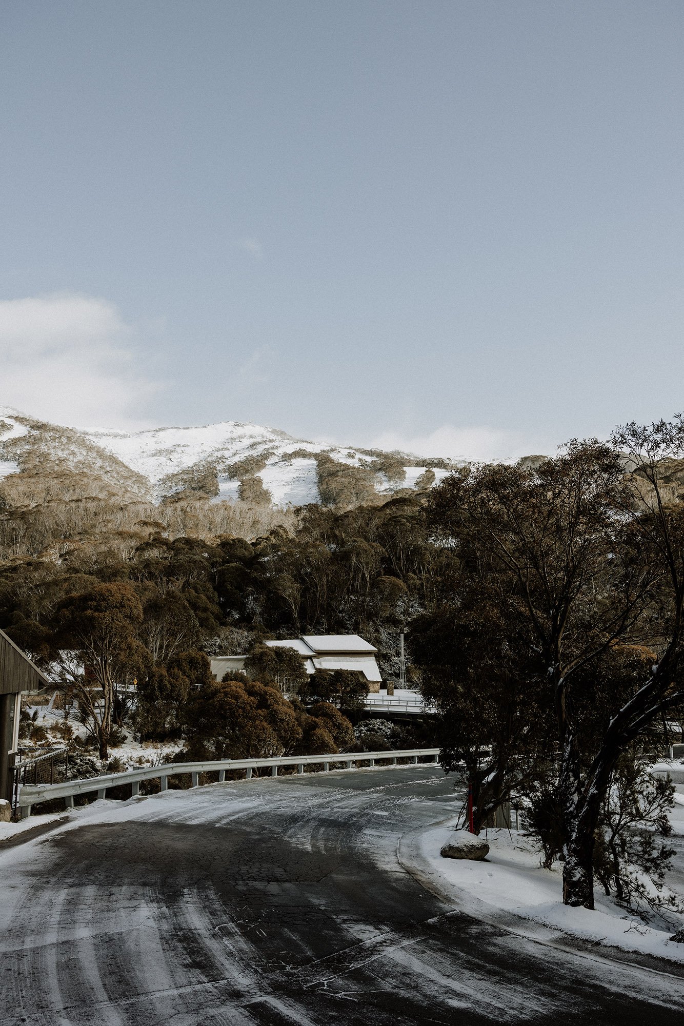
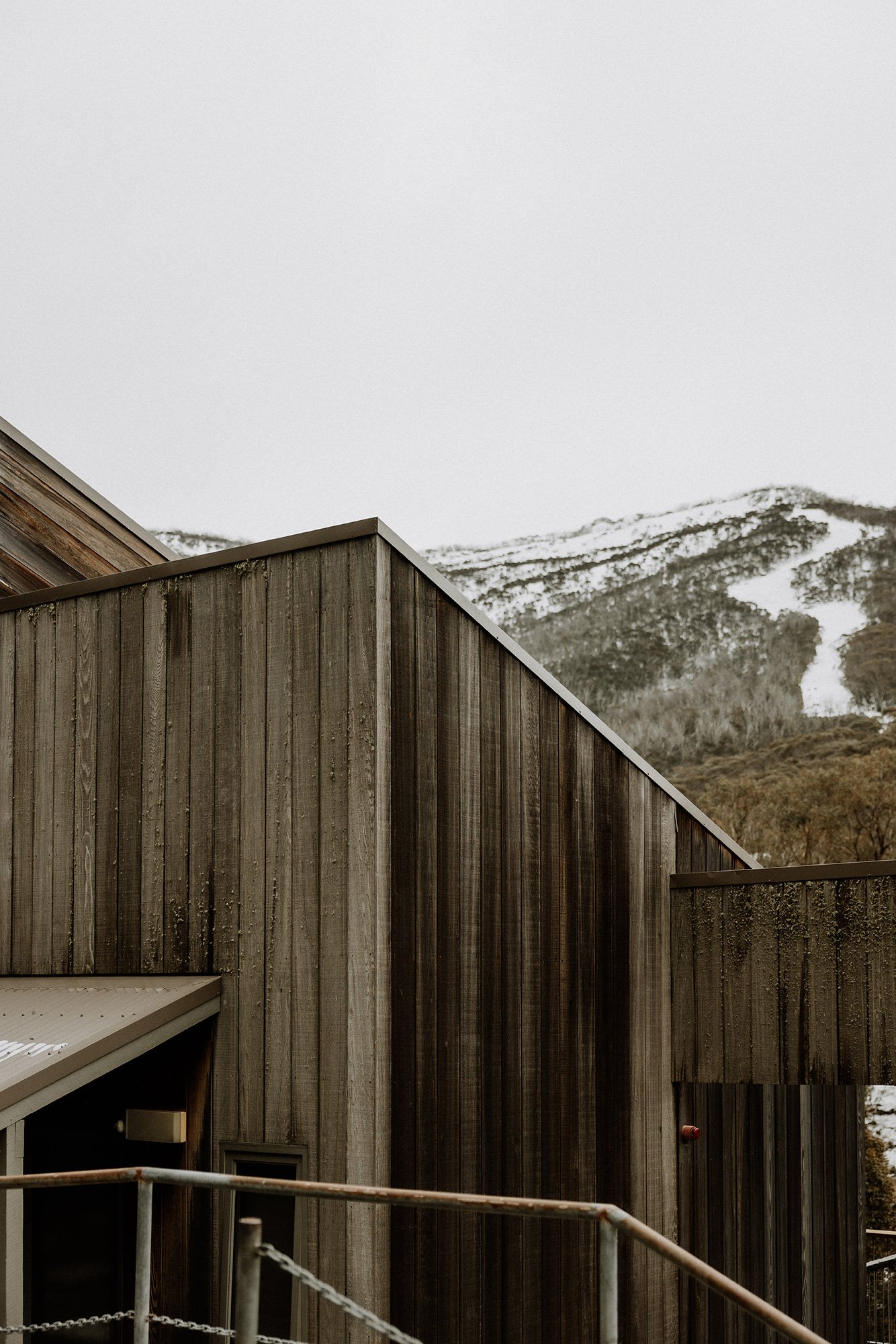
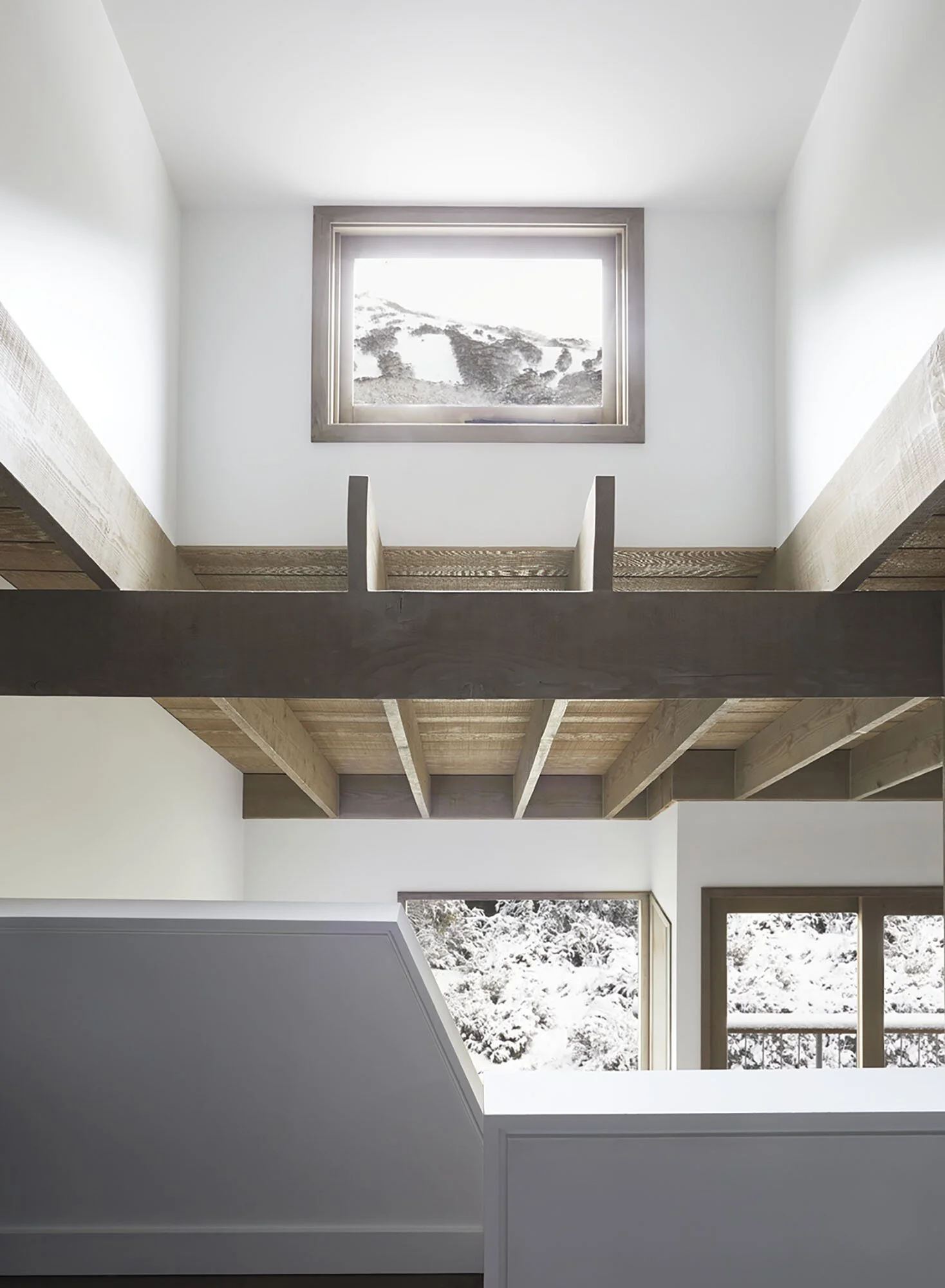
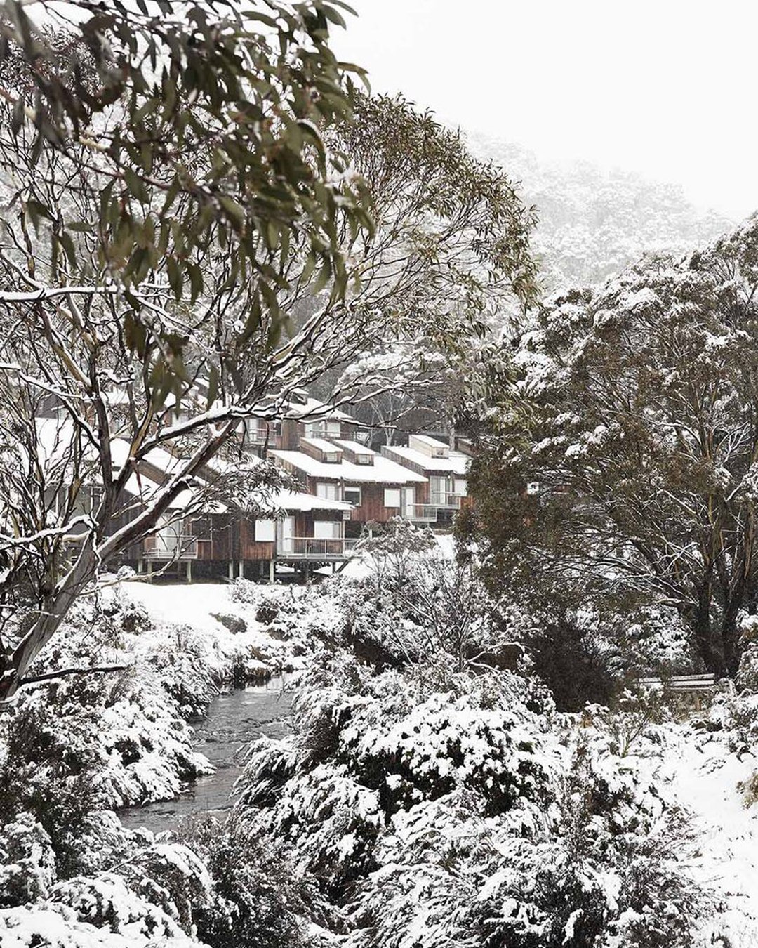
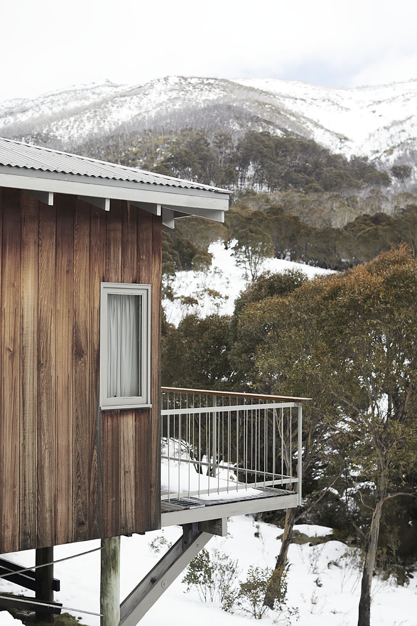
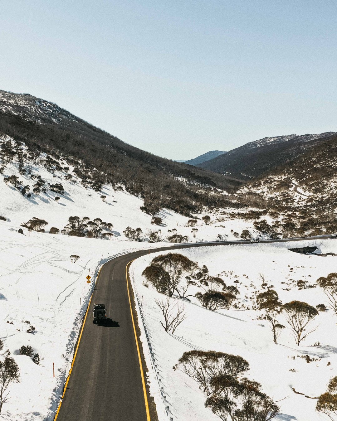
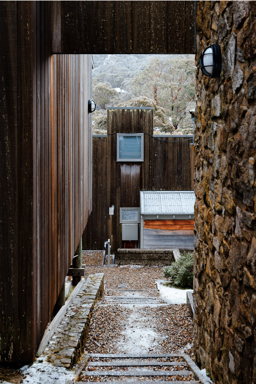
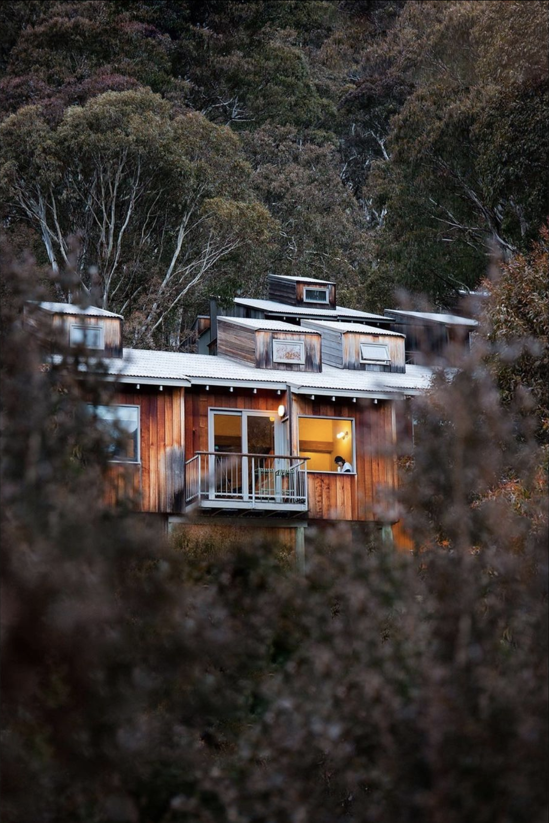
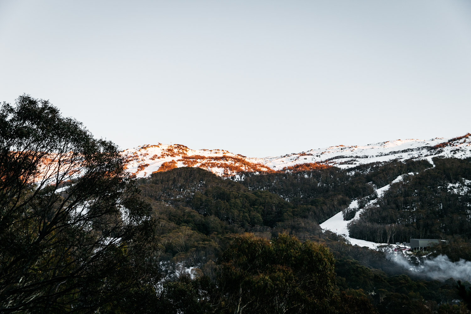
Trip Notes: Thredbo to Mount Kosciuszko with a side trip to Wilkinsons Creek

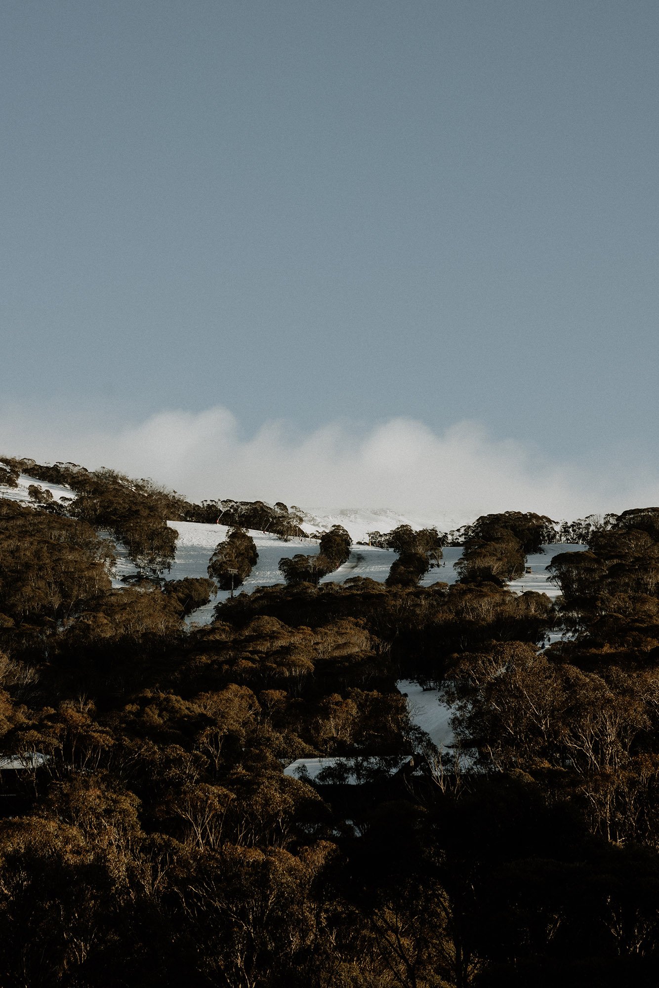
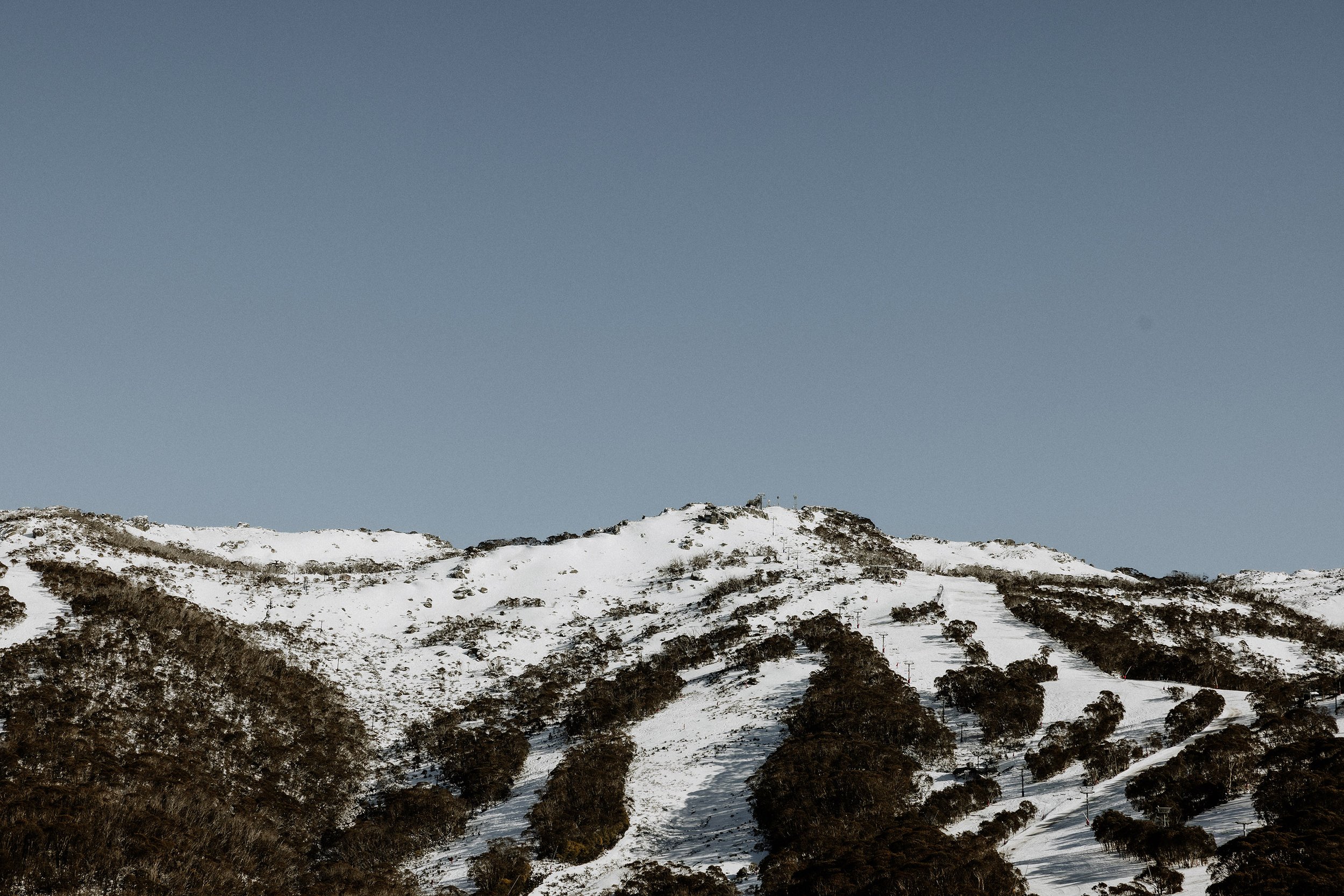
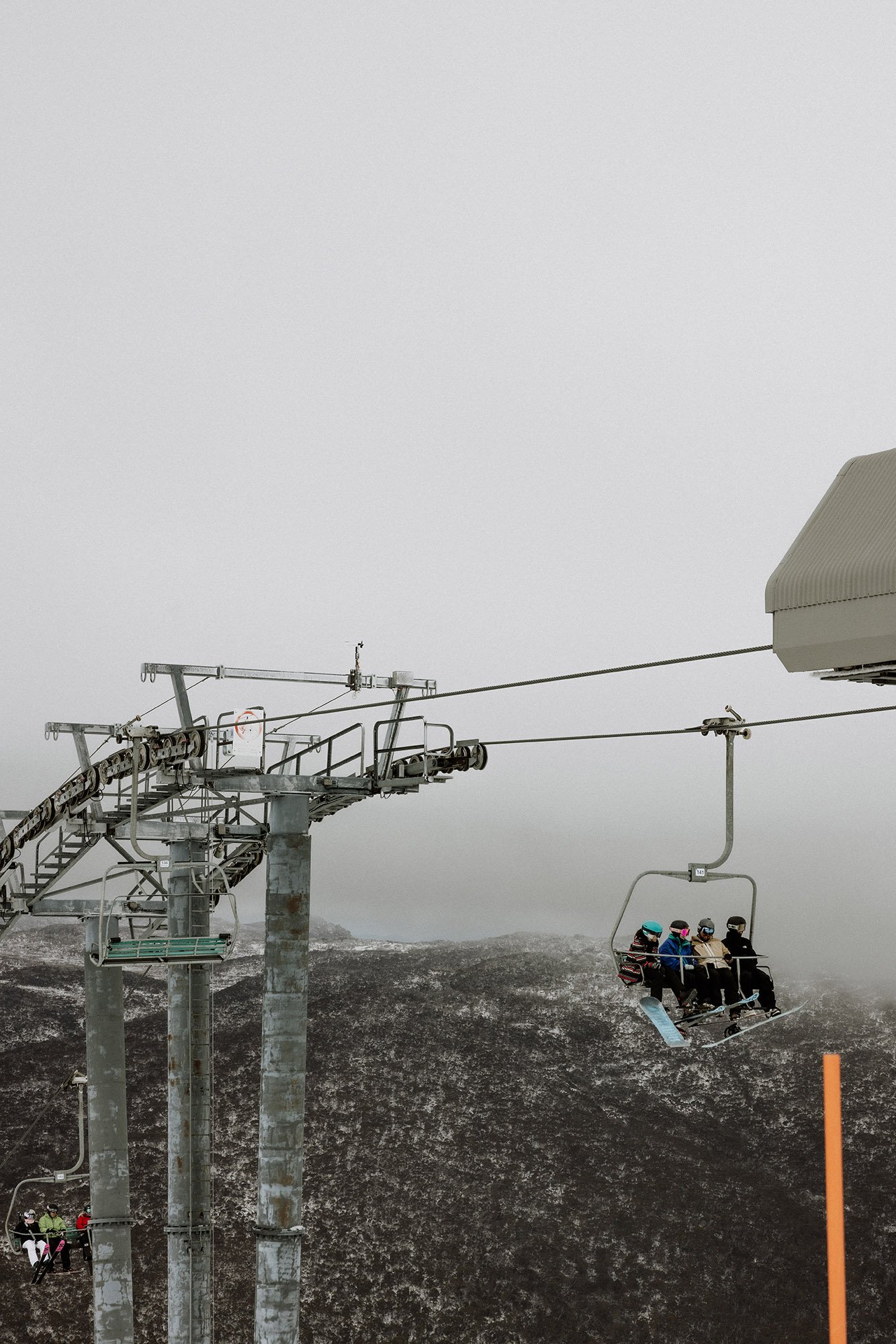
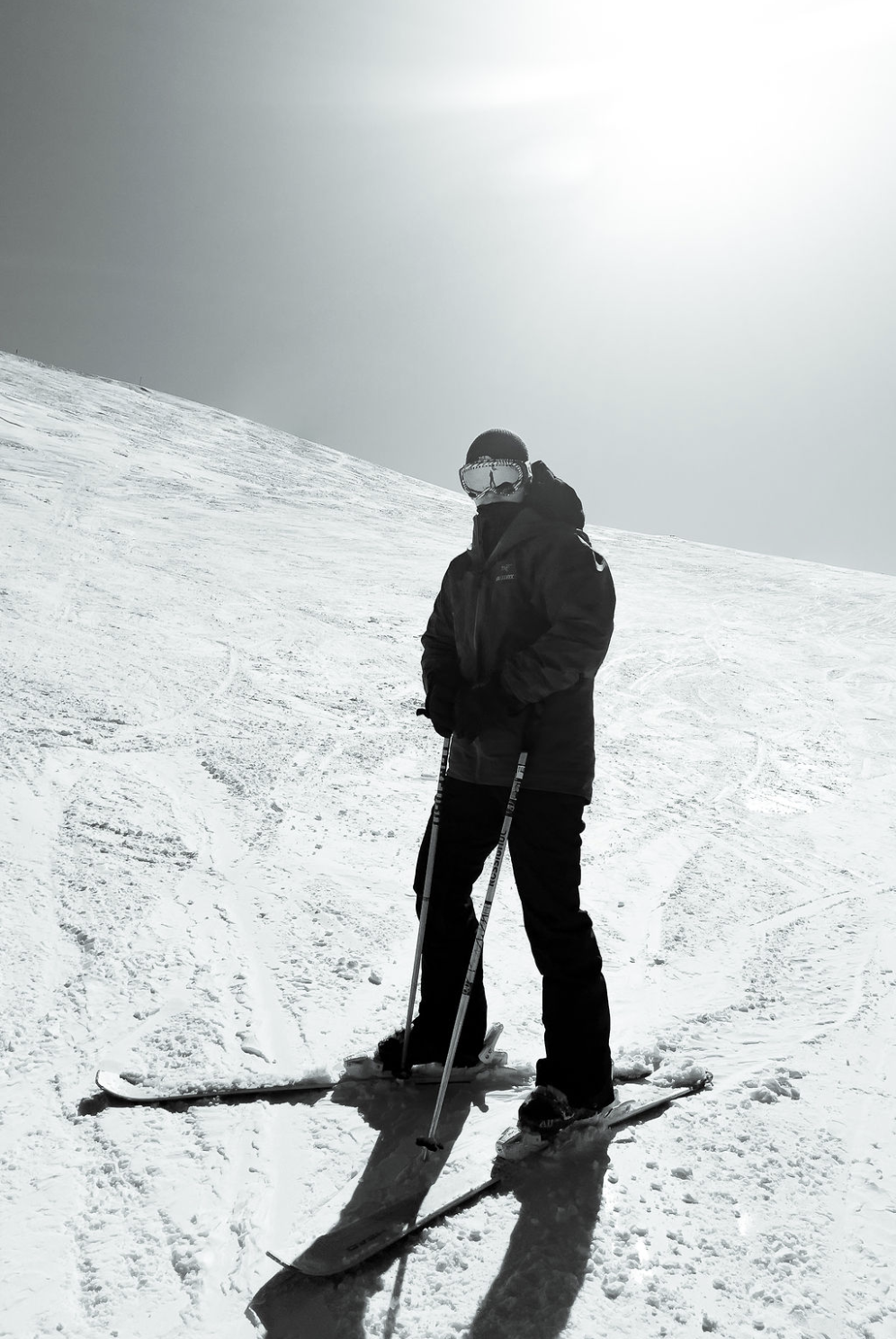
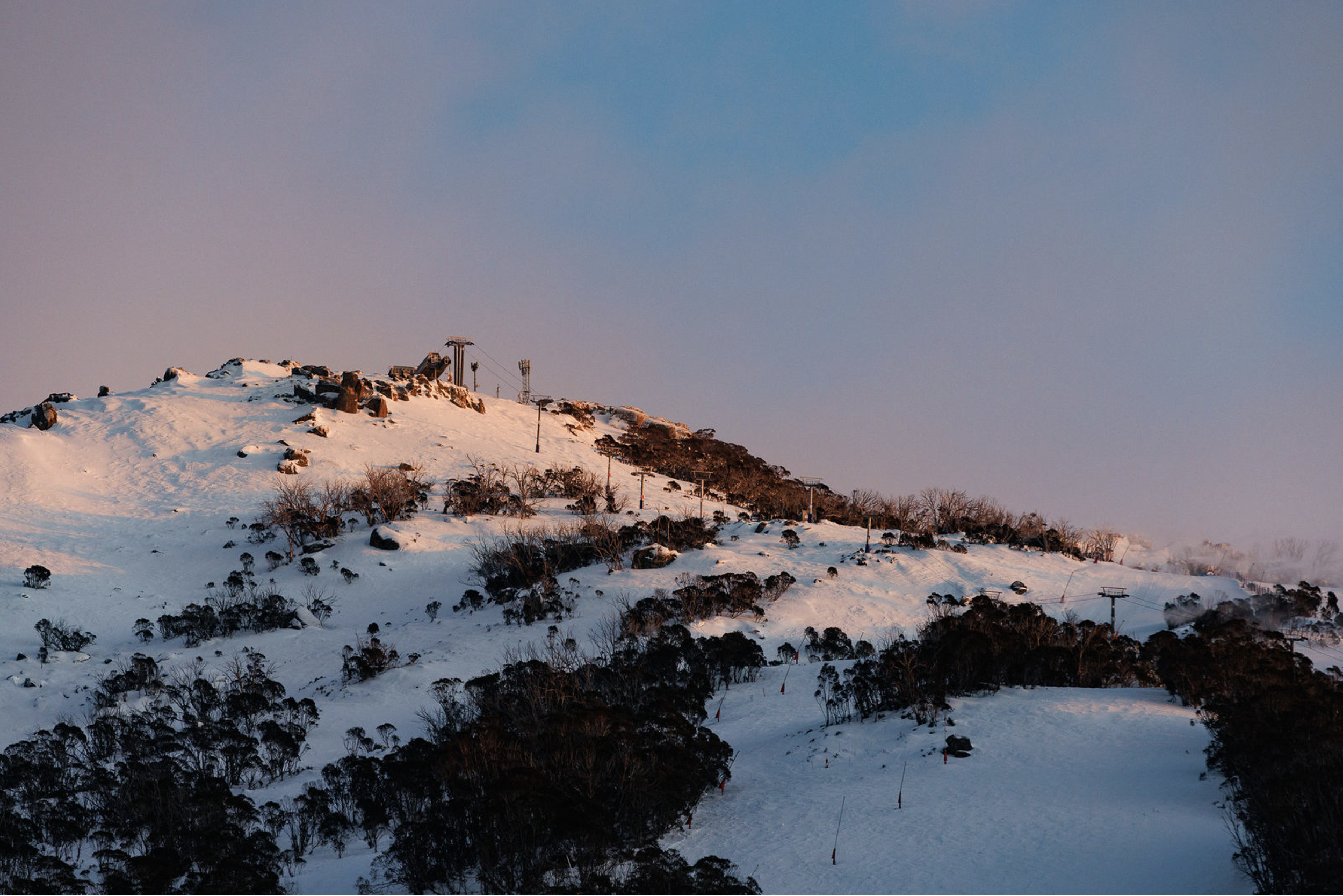
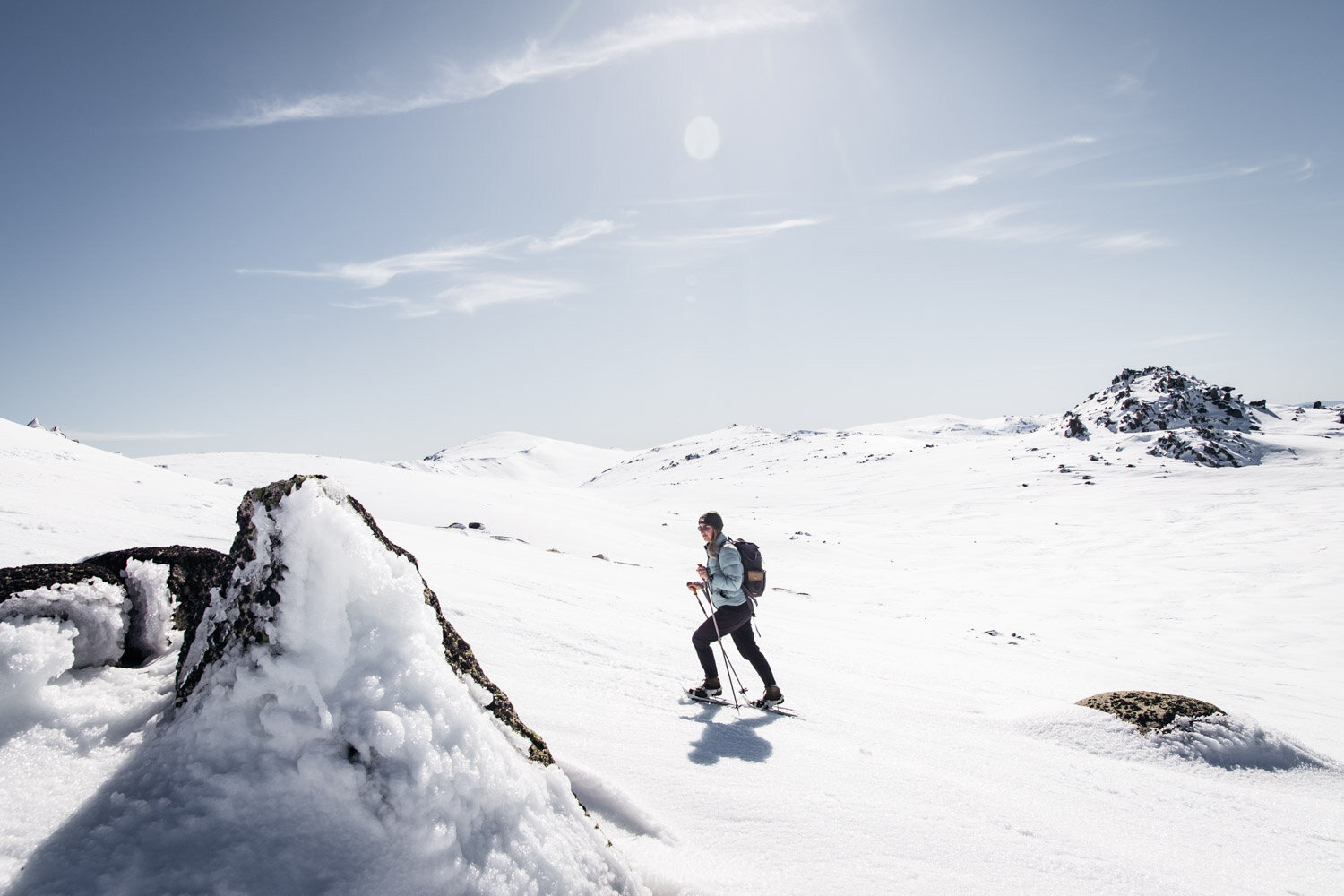
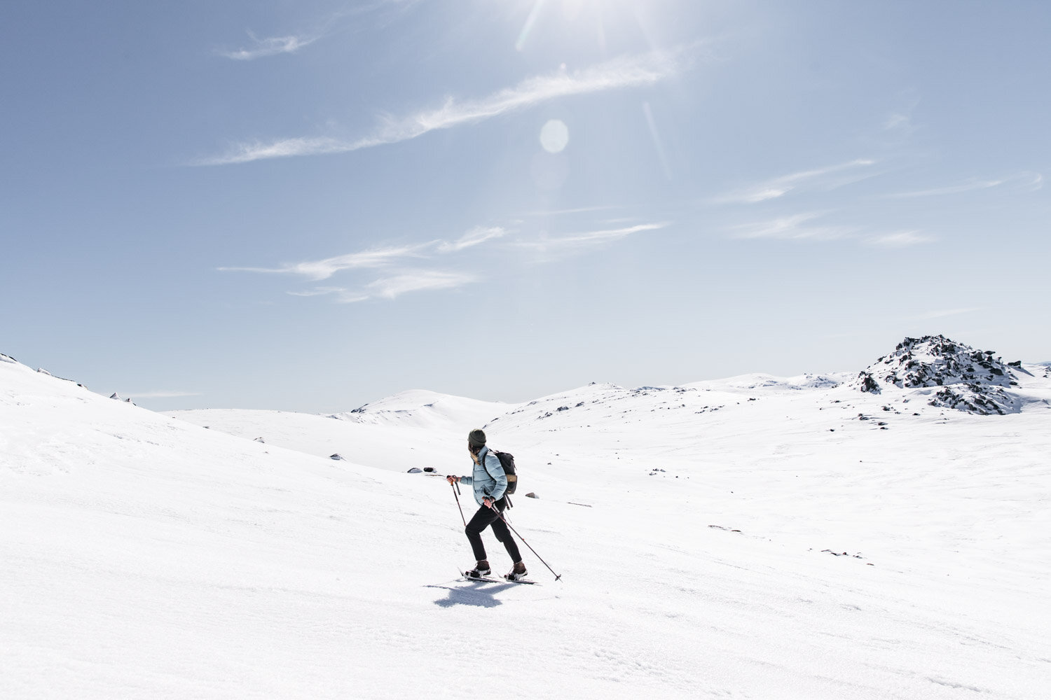
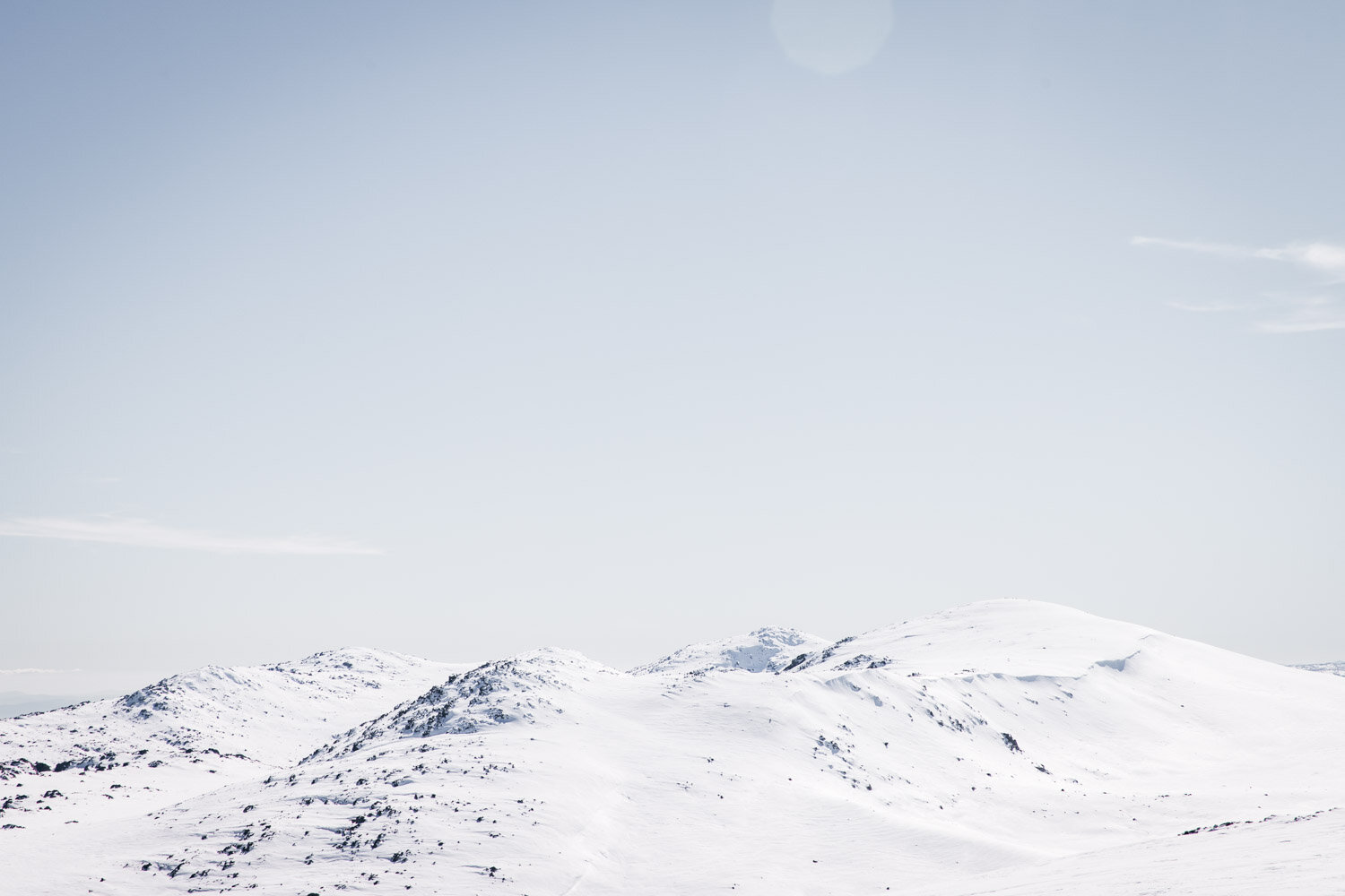
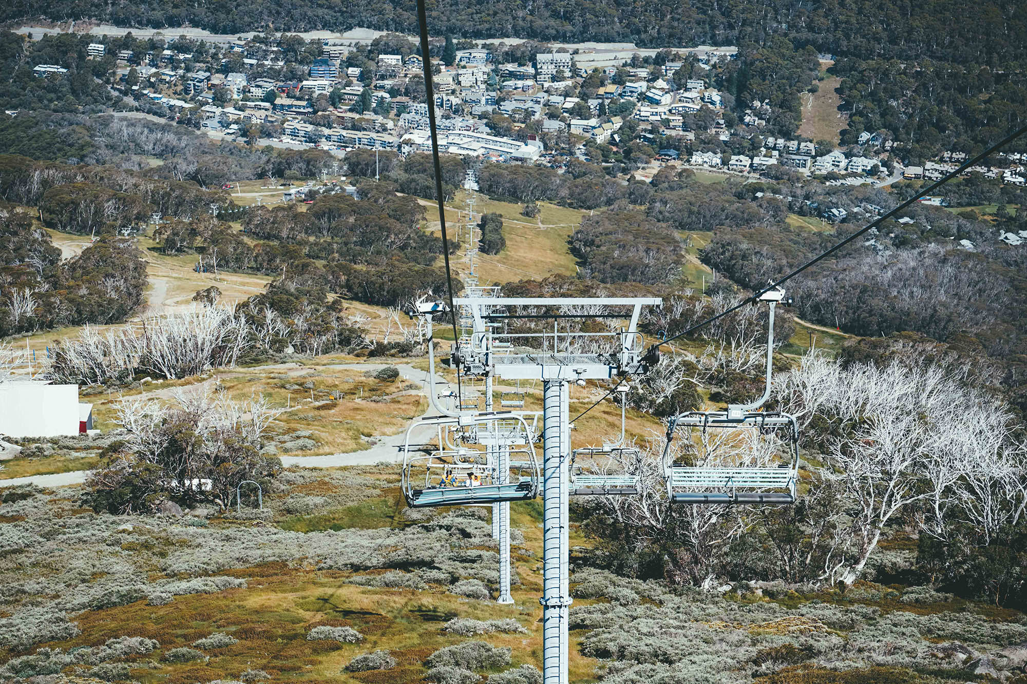
Kosciuszko Express Chairlift and Kosciuszko Walk to the highest point in Australia

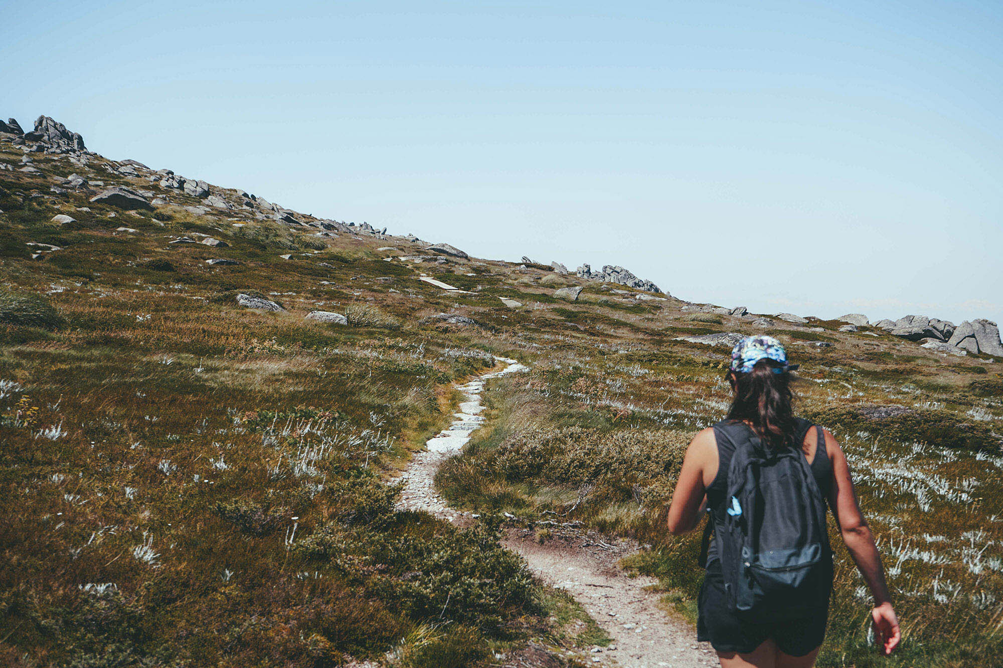
This is one of those great hikes where it’s reasonable and acceptable to catch a ride for the first section, significantly reducing the effort needed to summit the highest mountain in the country.

Of course, you can walk the whole way up, but I ask you… are you mad?!

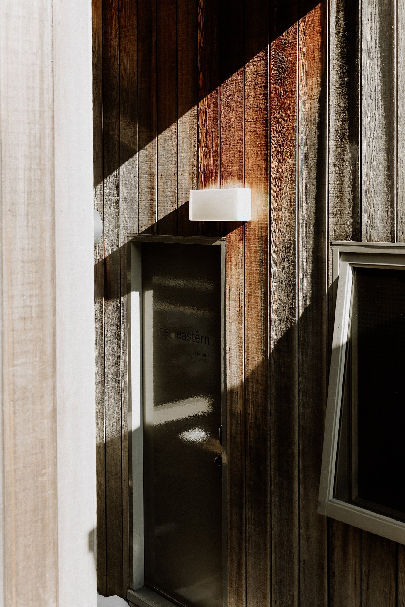
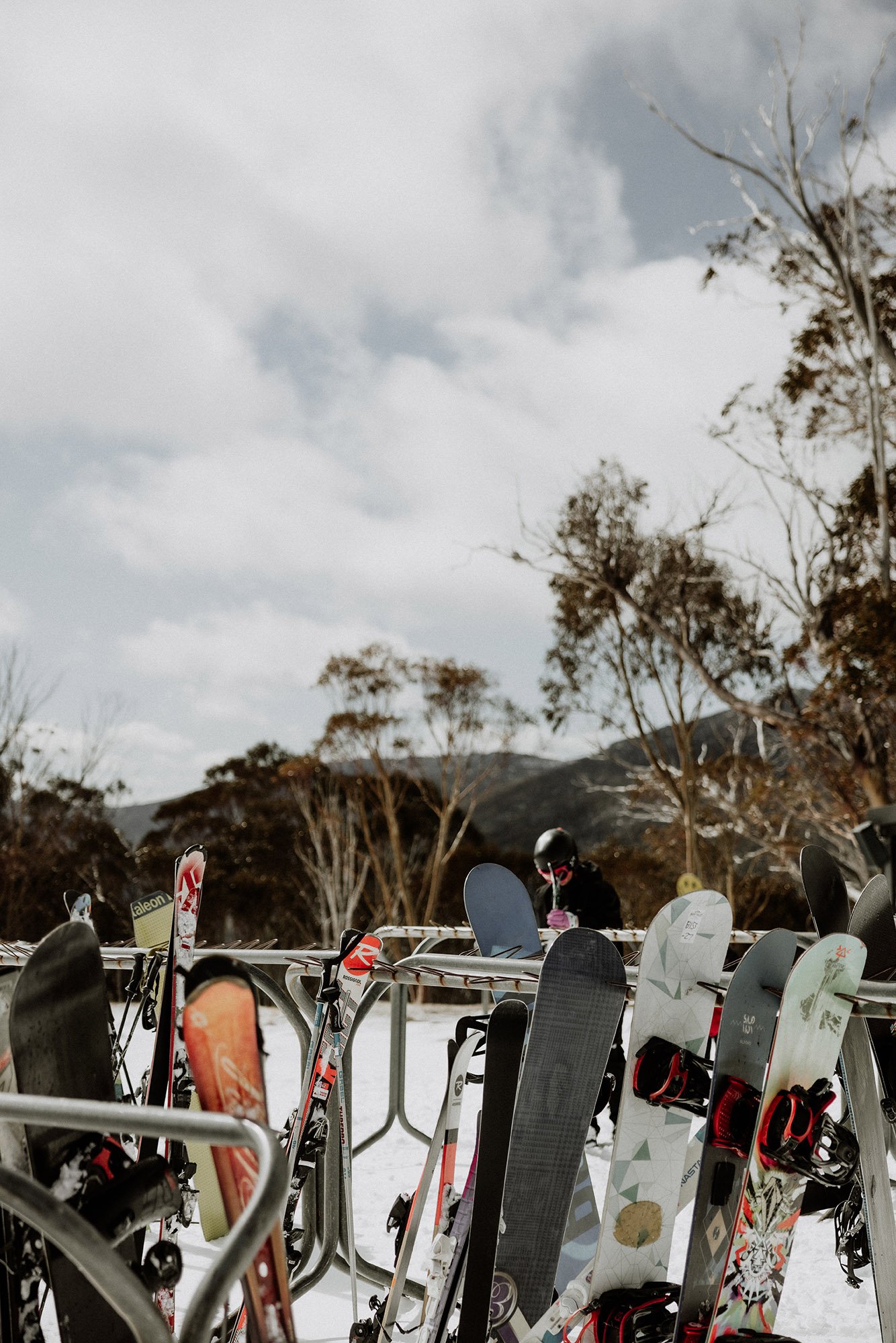
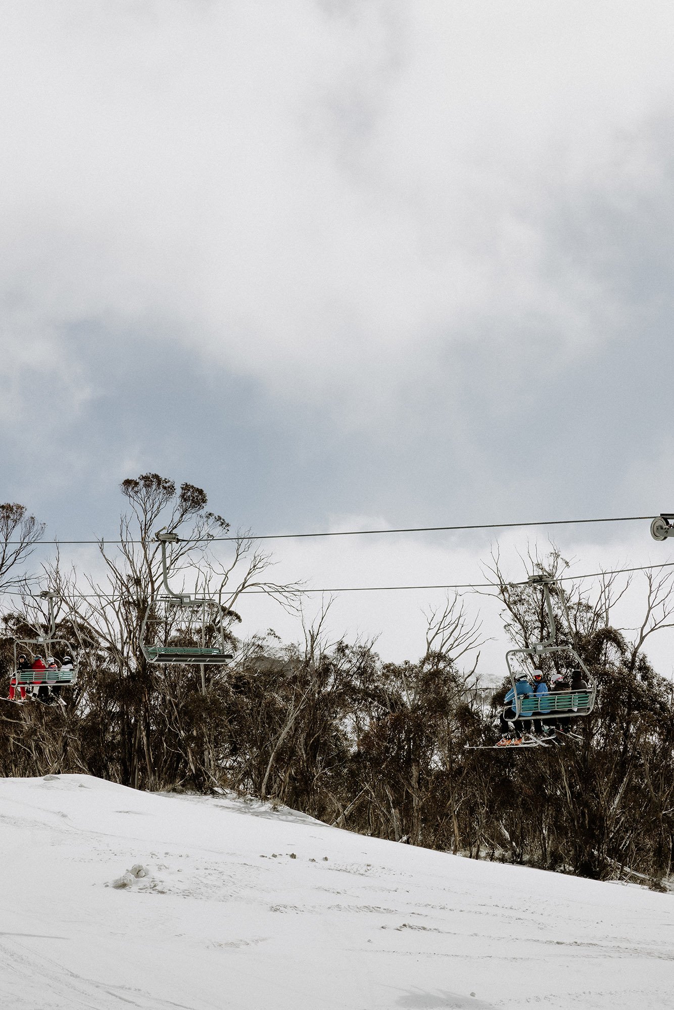
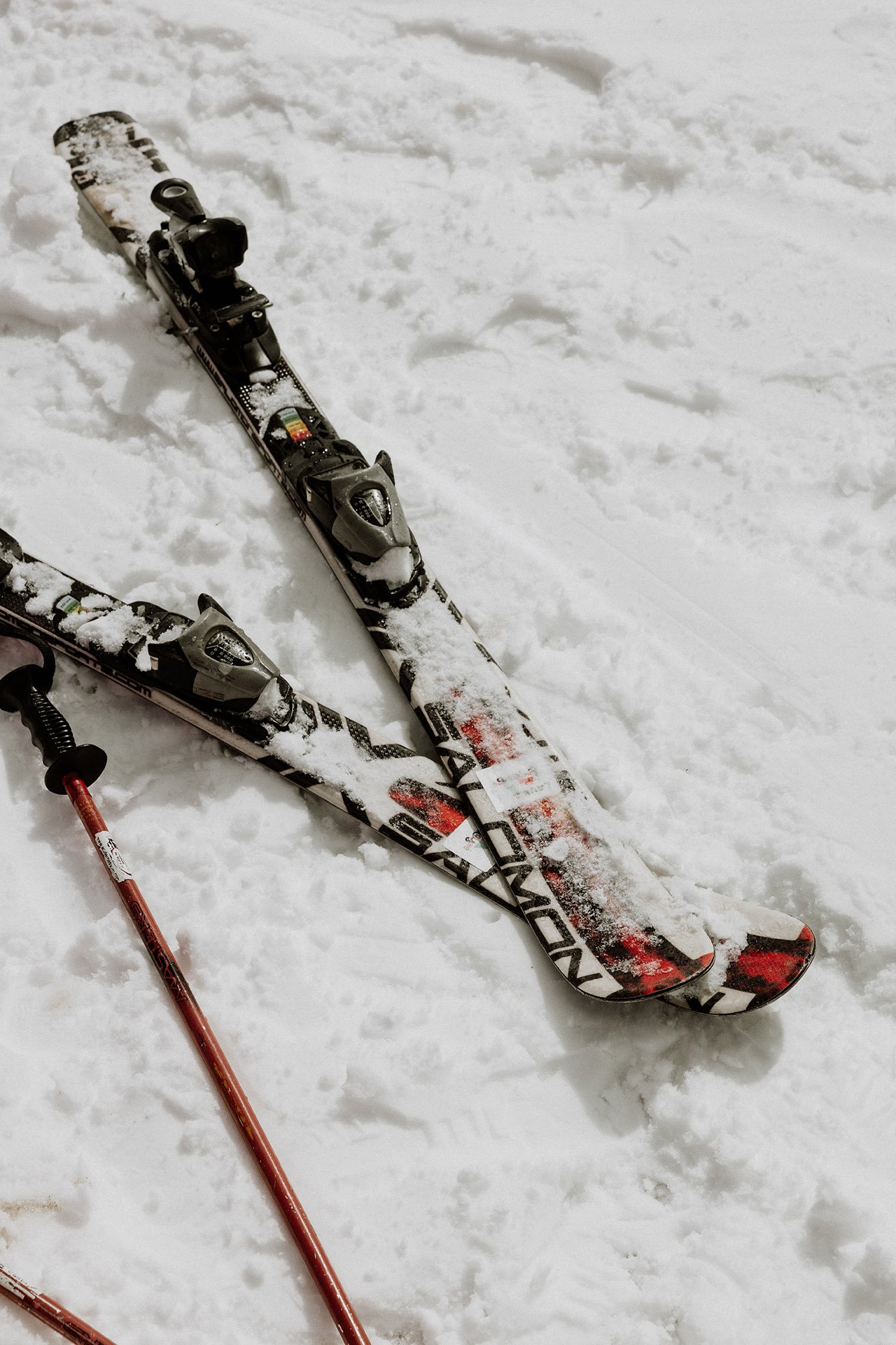
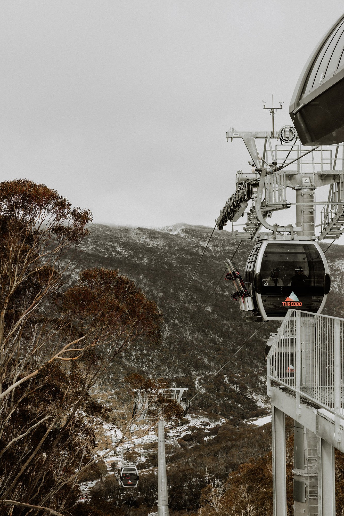
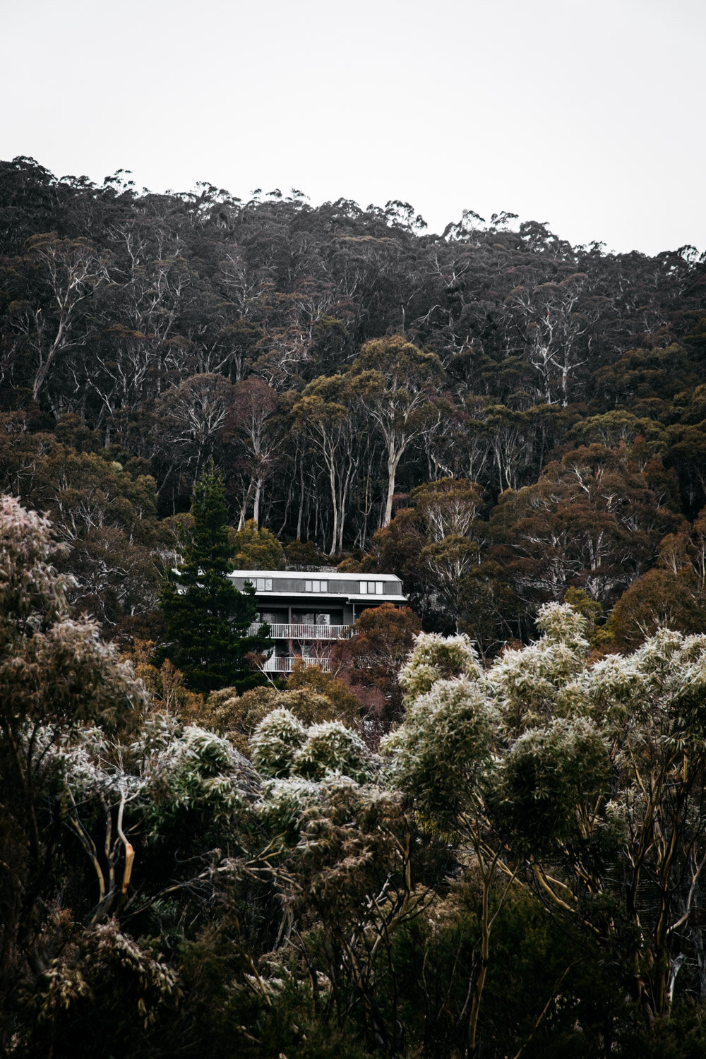
Jump on the Kosciuszko Express Chairlift just a few minutes walks from The Eastern. You’ll need to buy a lift pass before hitching a ride.

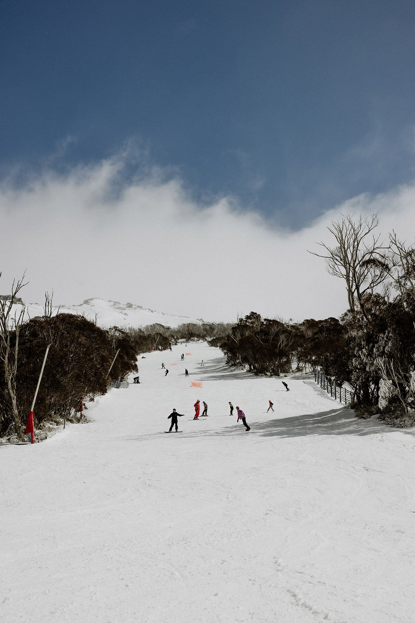
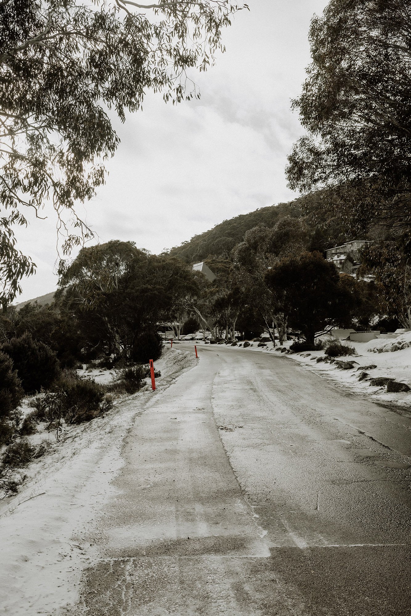
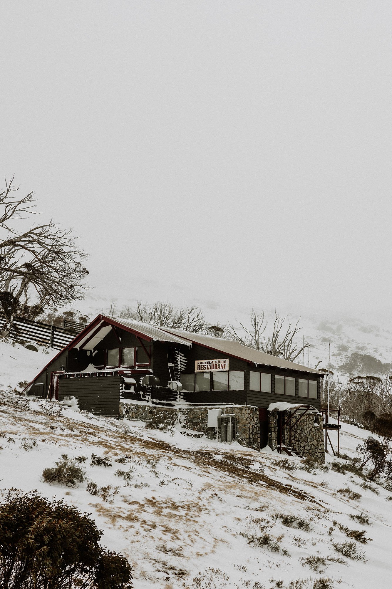
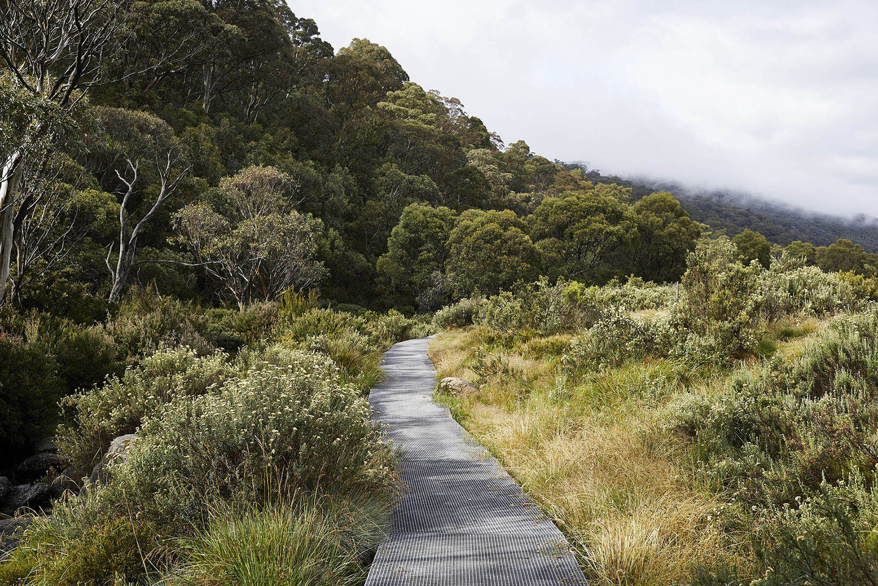
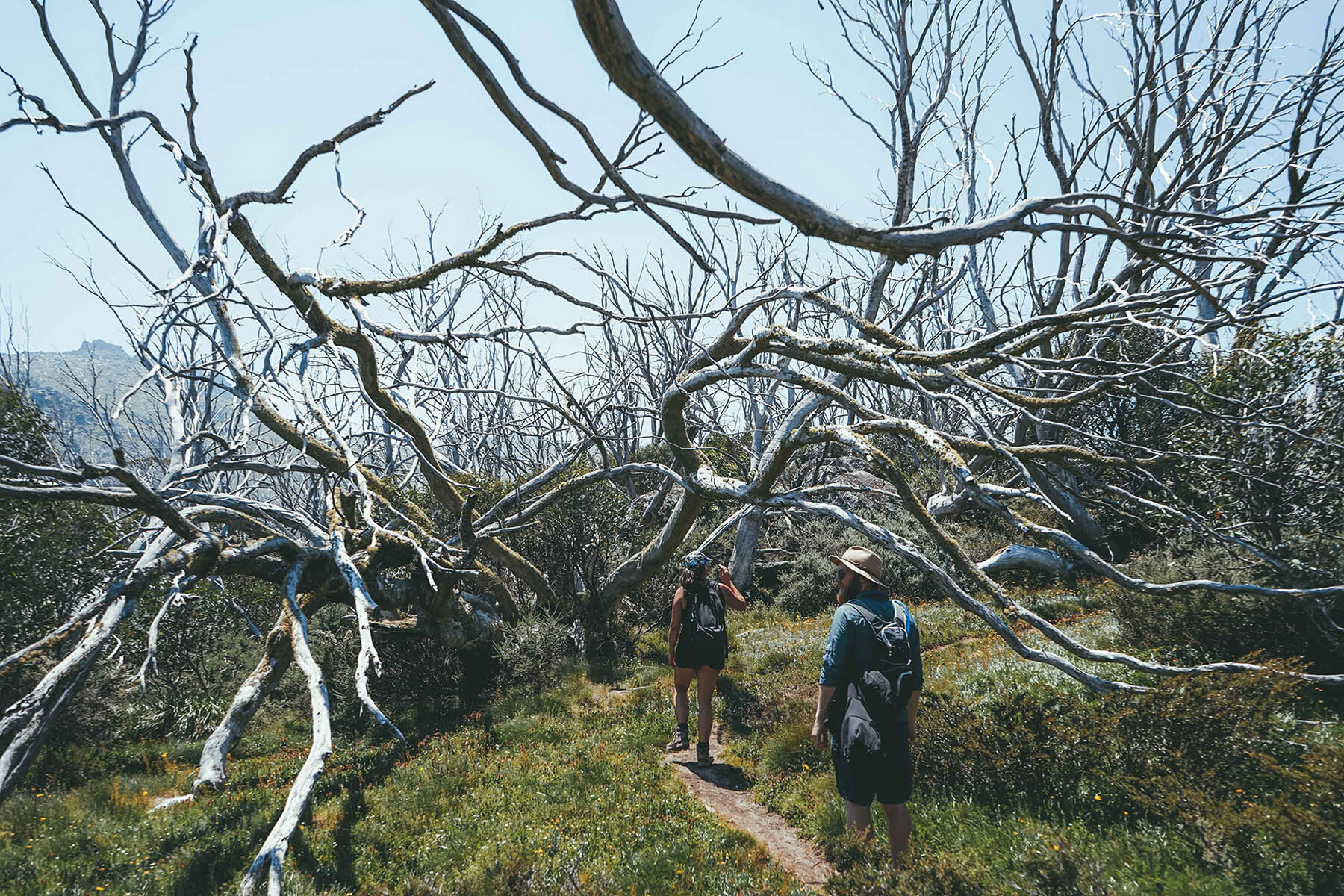
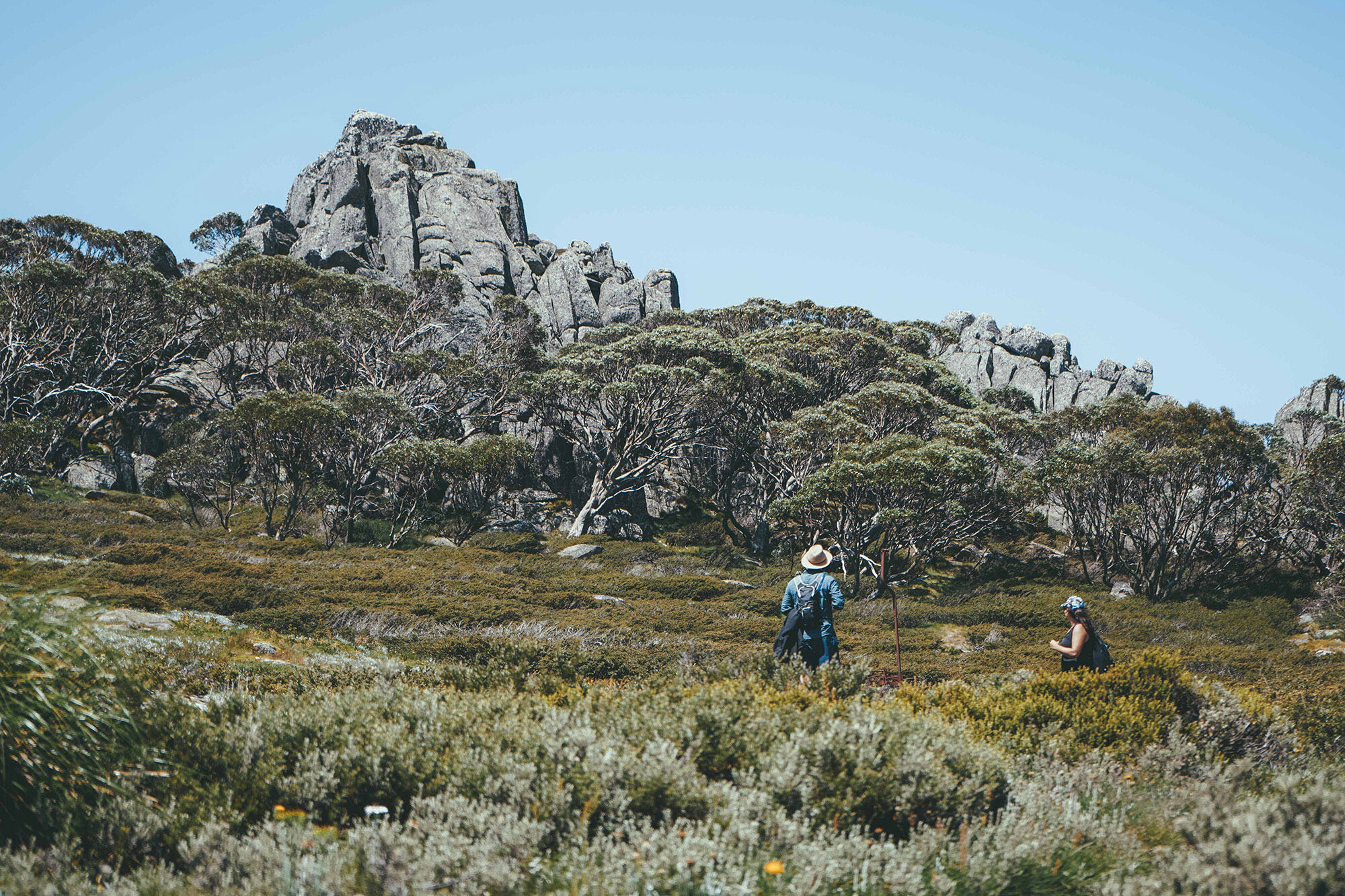
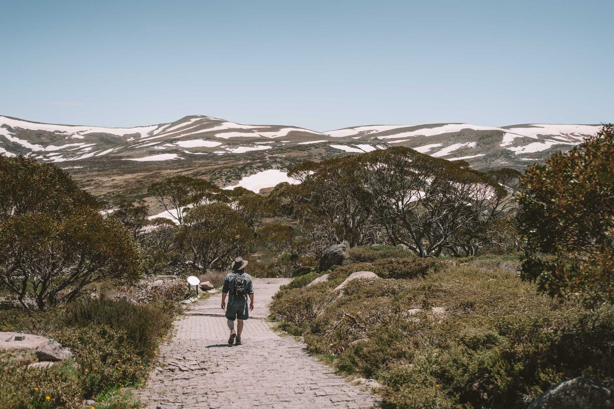
The track up to Kozi starts just behind Eagles Nest Restaurant—you can’t miss it!

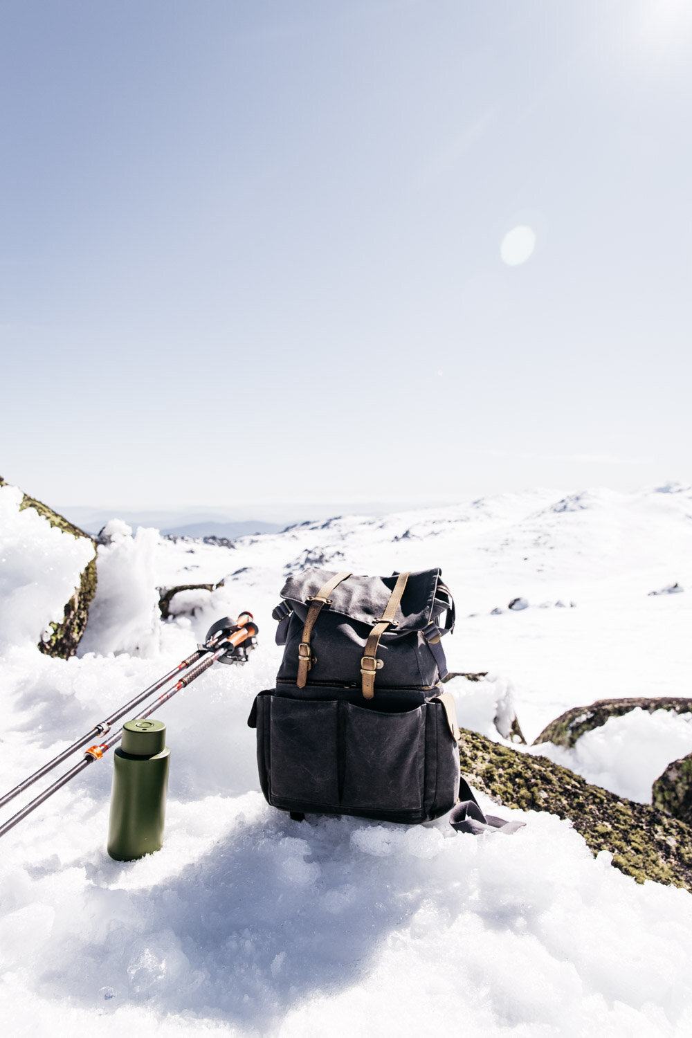
Make sure you’ve got plenty of water at this point, as there’s nowhere else today to get water until you get to the creek.

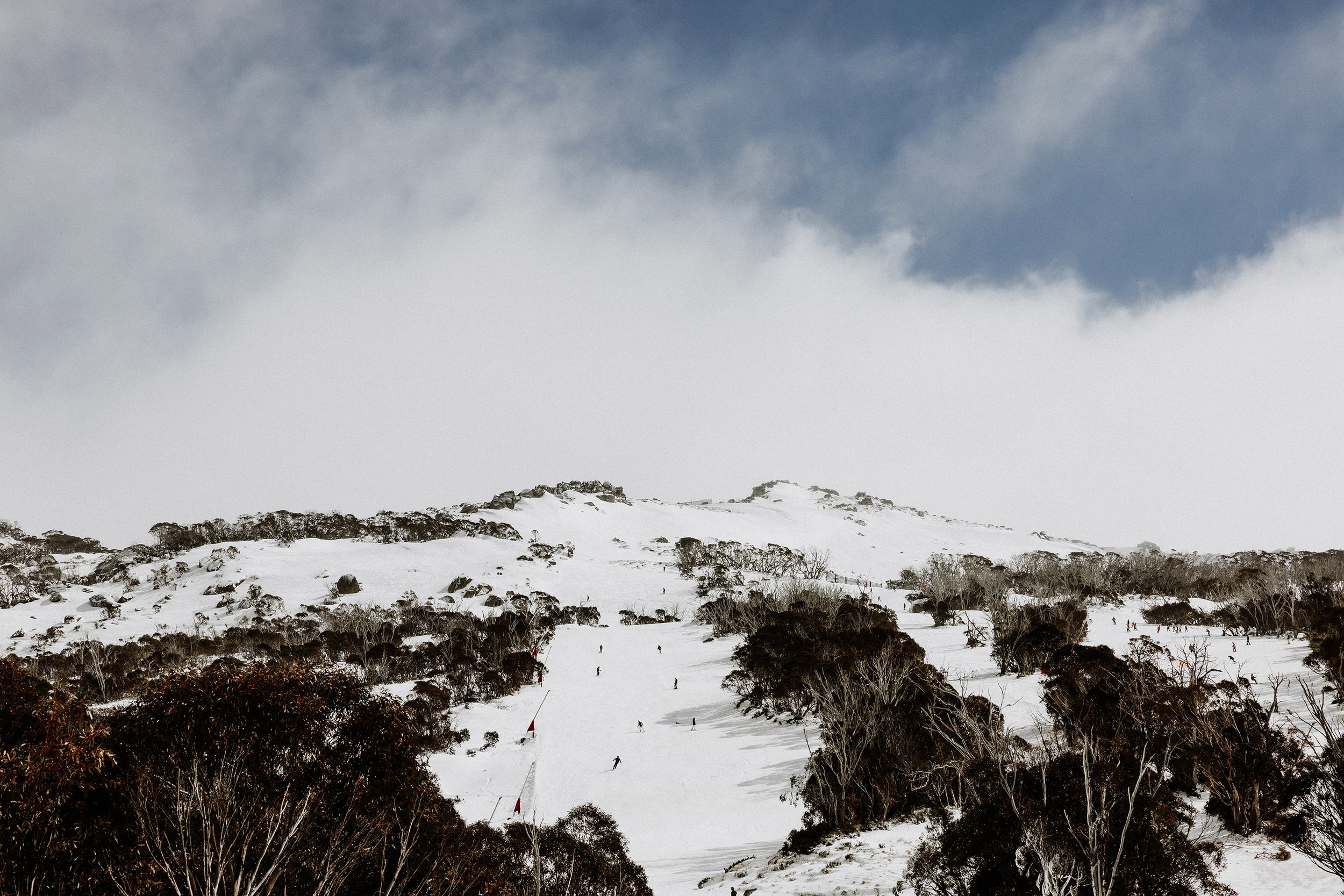
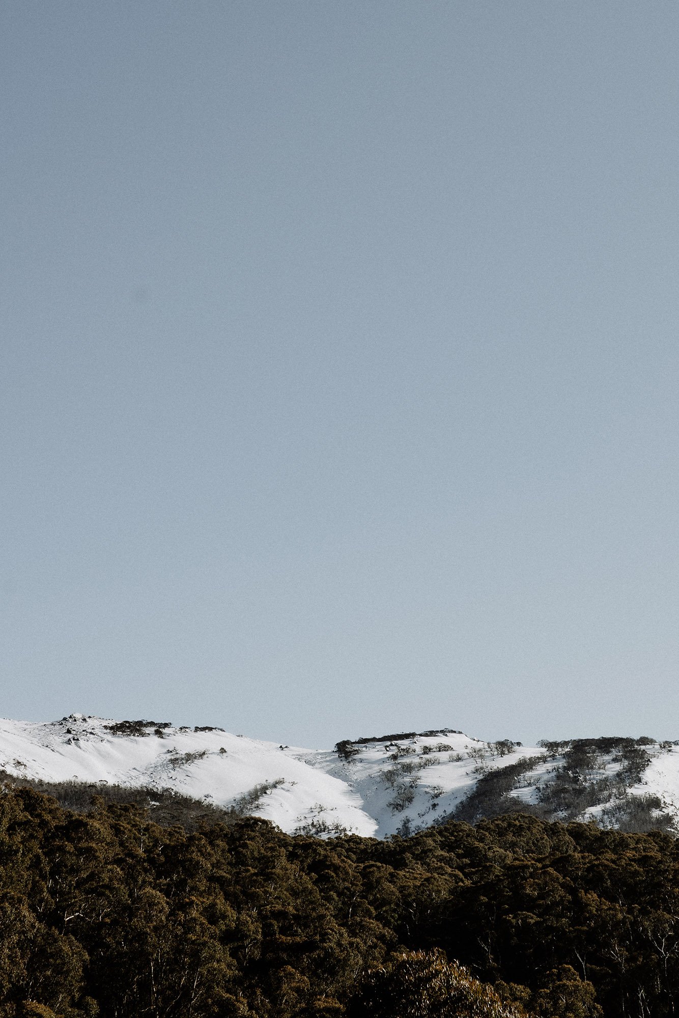
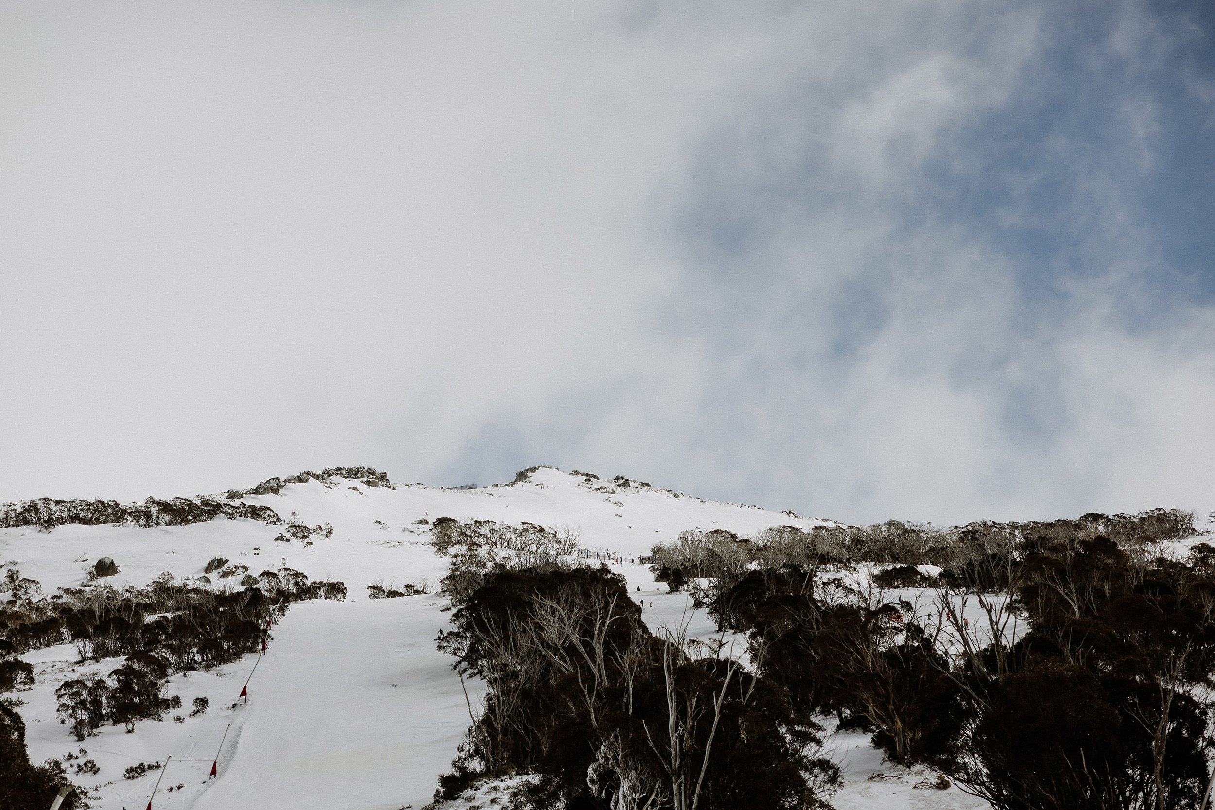
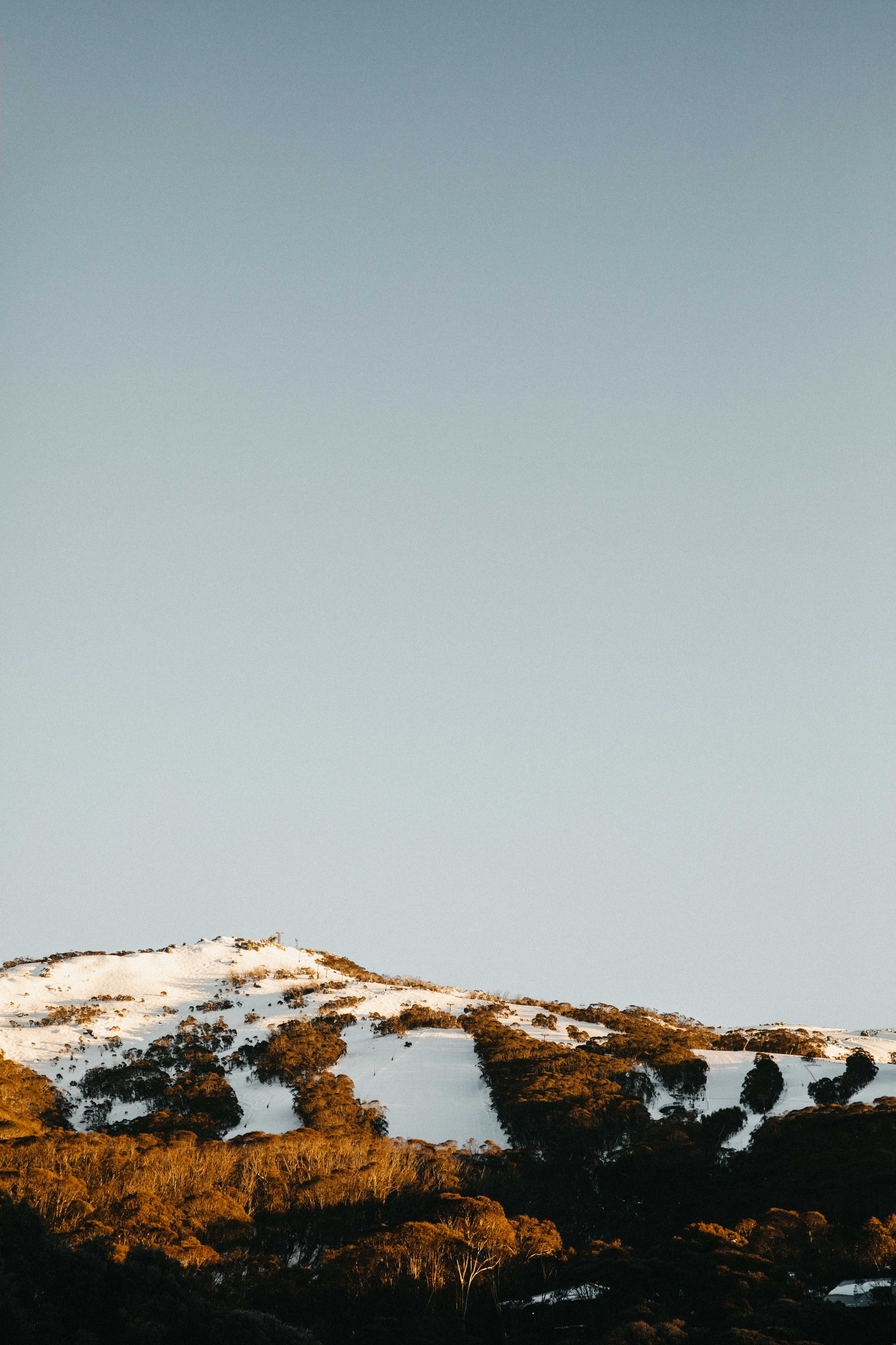
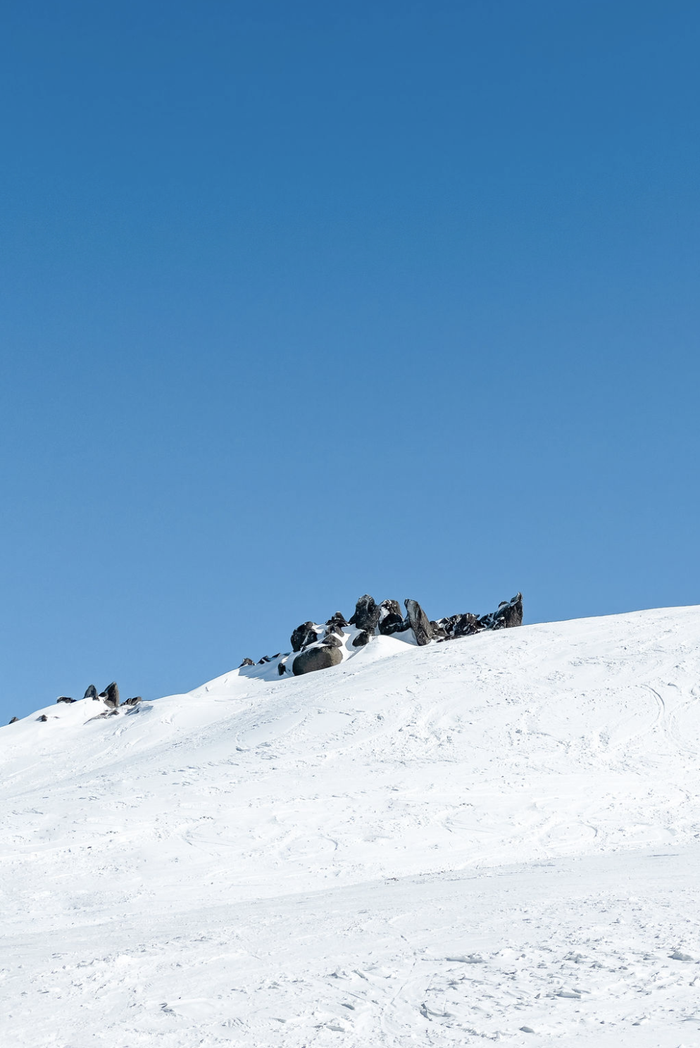
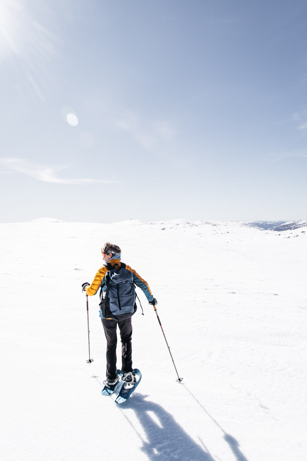
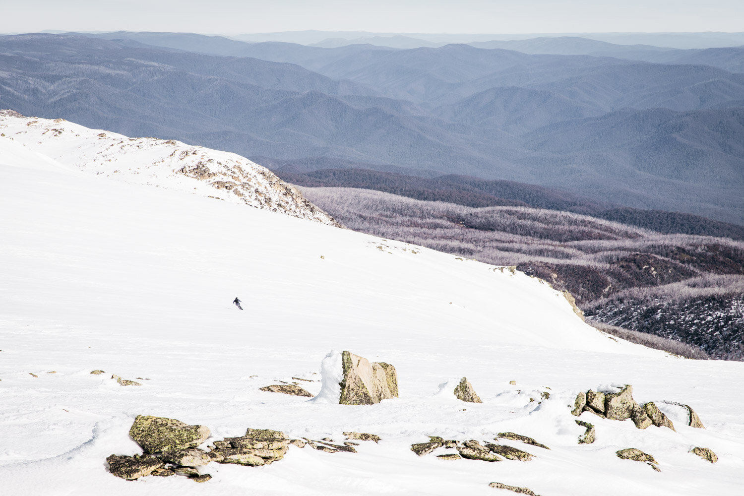
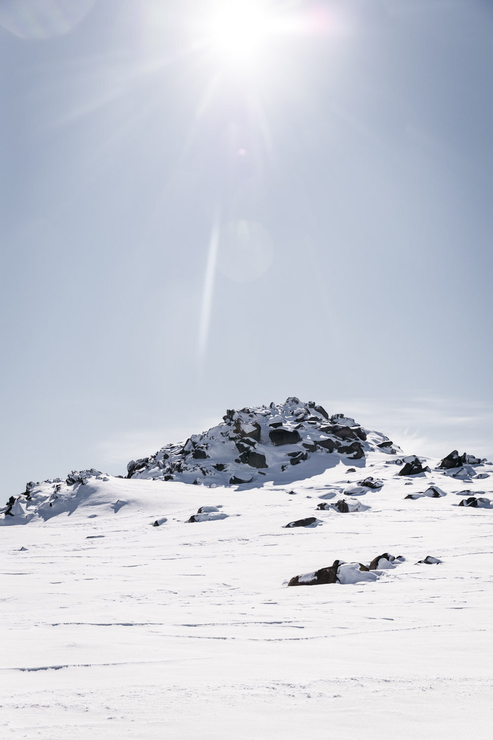
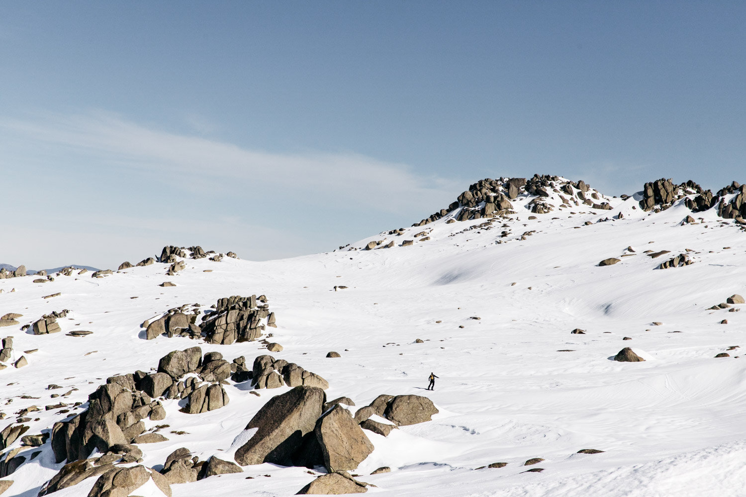
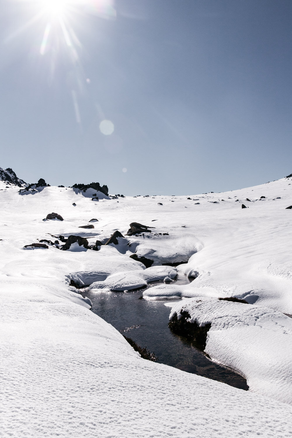
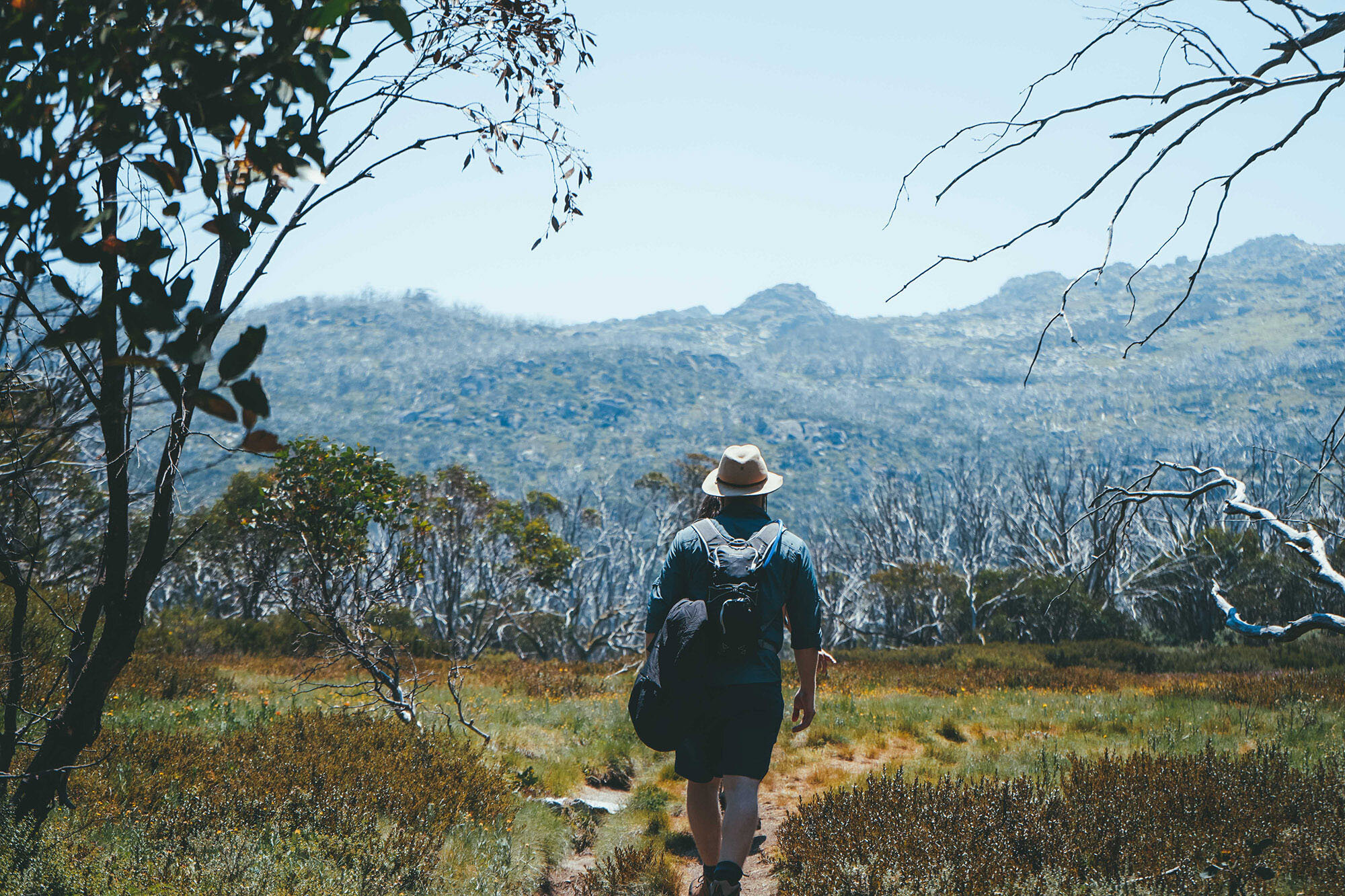
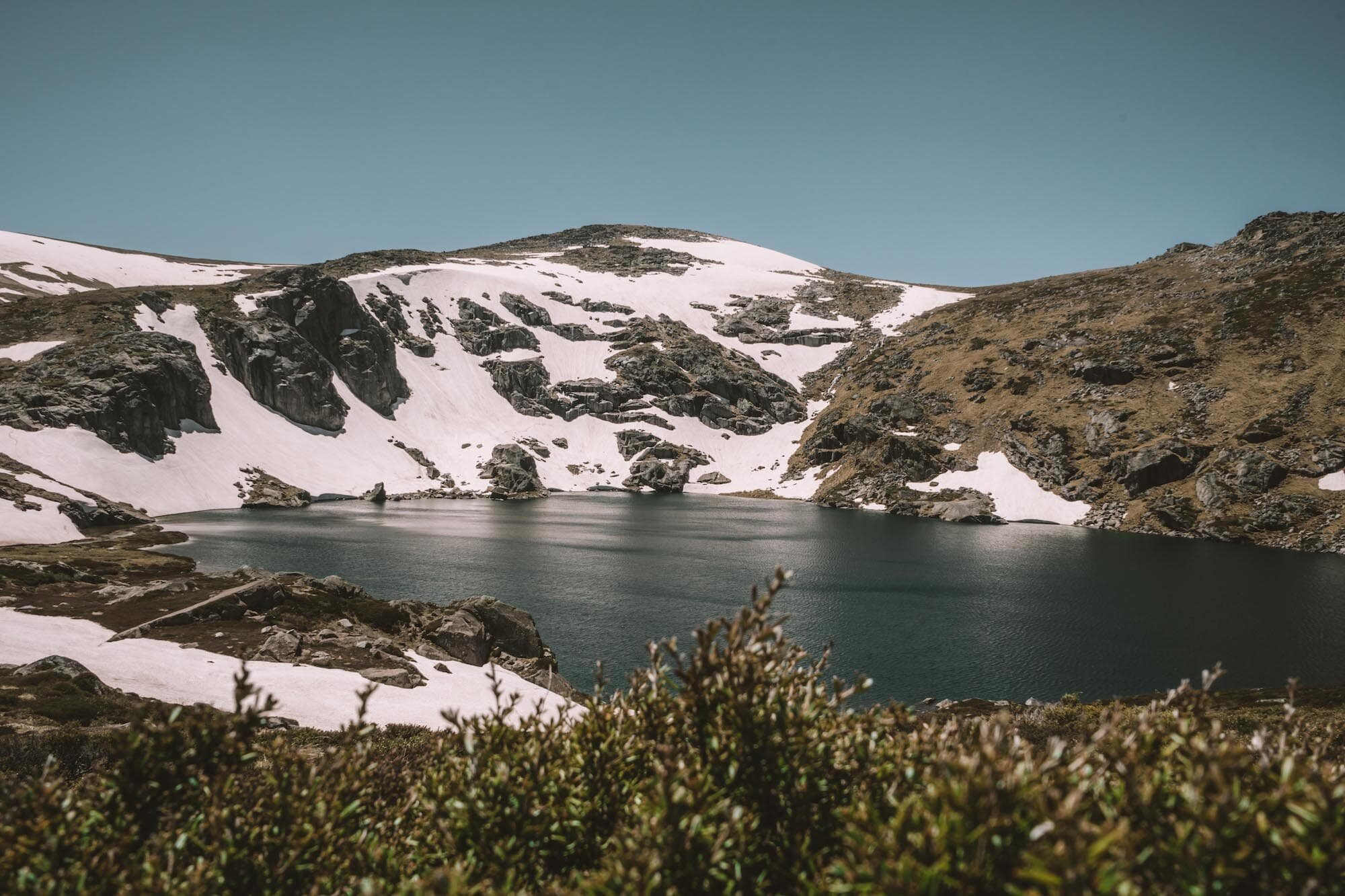
Towards Muellers Pass

After you’ve taken in the views from the top of Mount Kosciuszko (and perhaps snapped a few superman photos for Insta?), start making your way back down the way you came for approximately 1km.

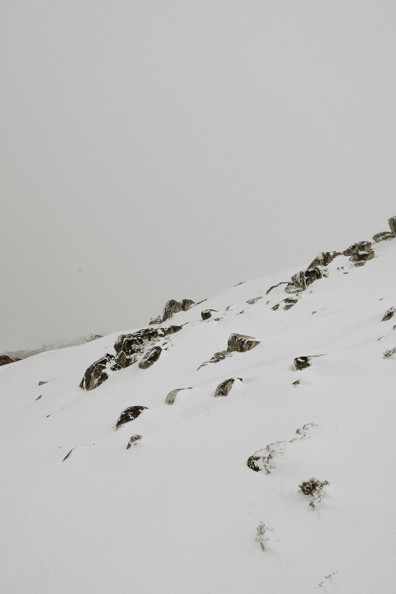
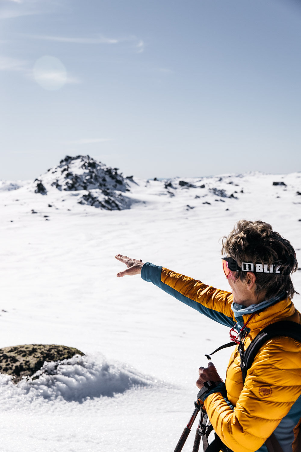
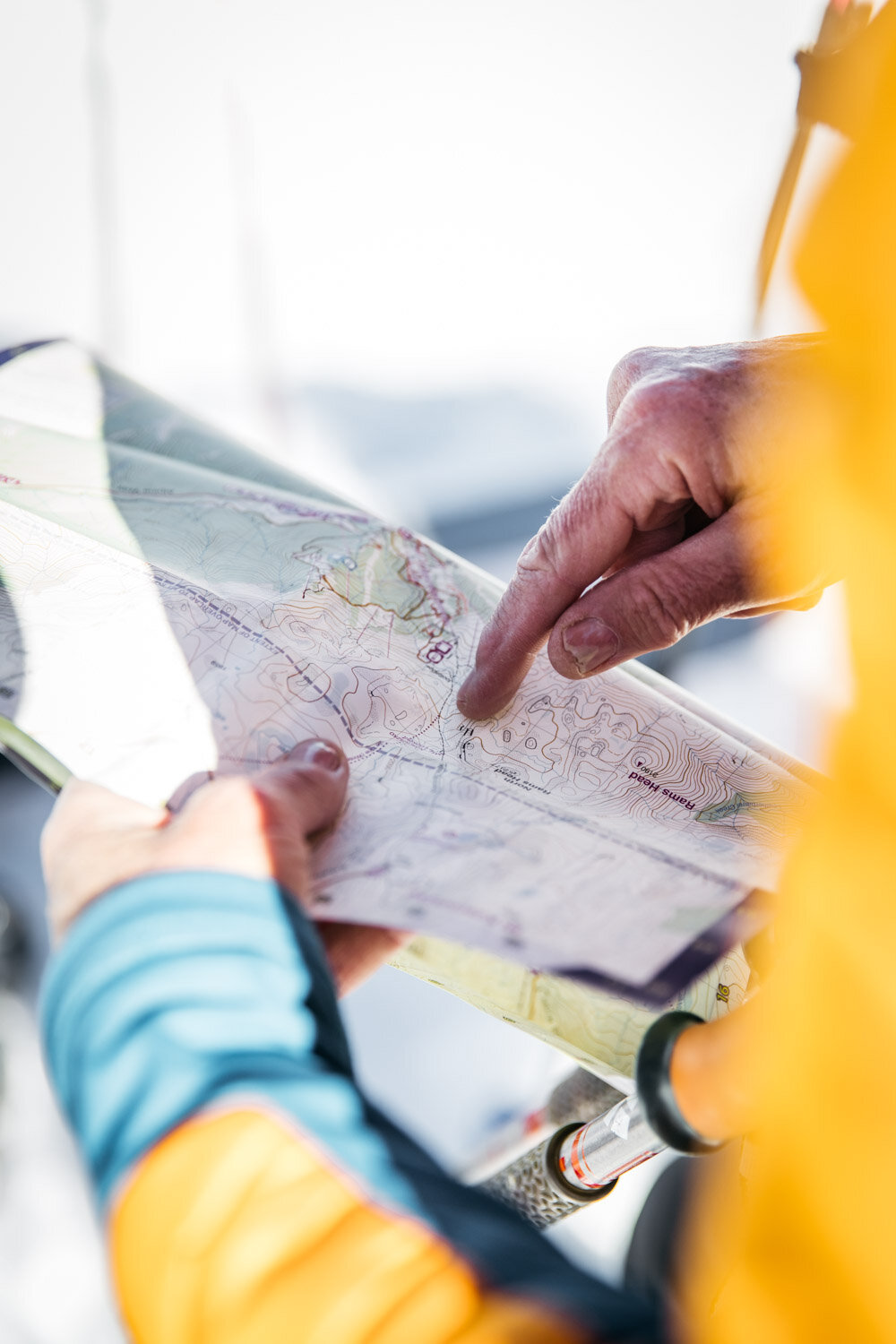
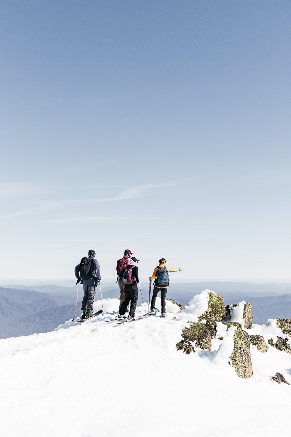
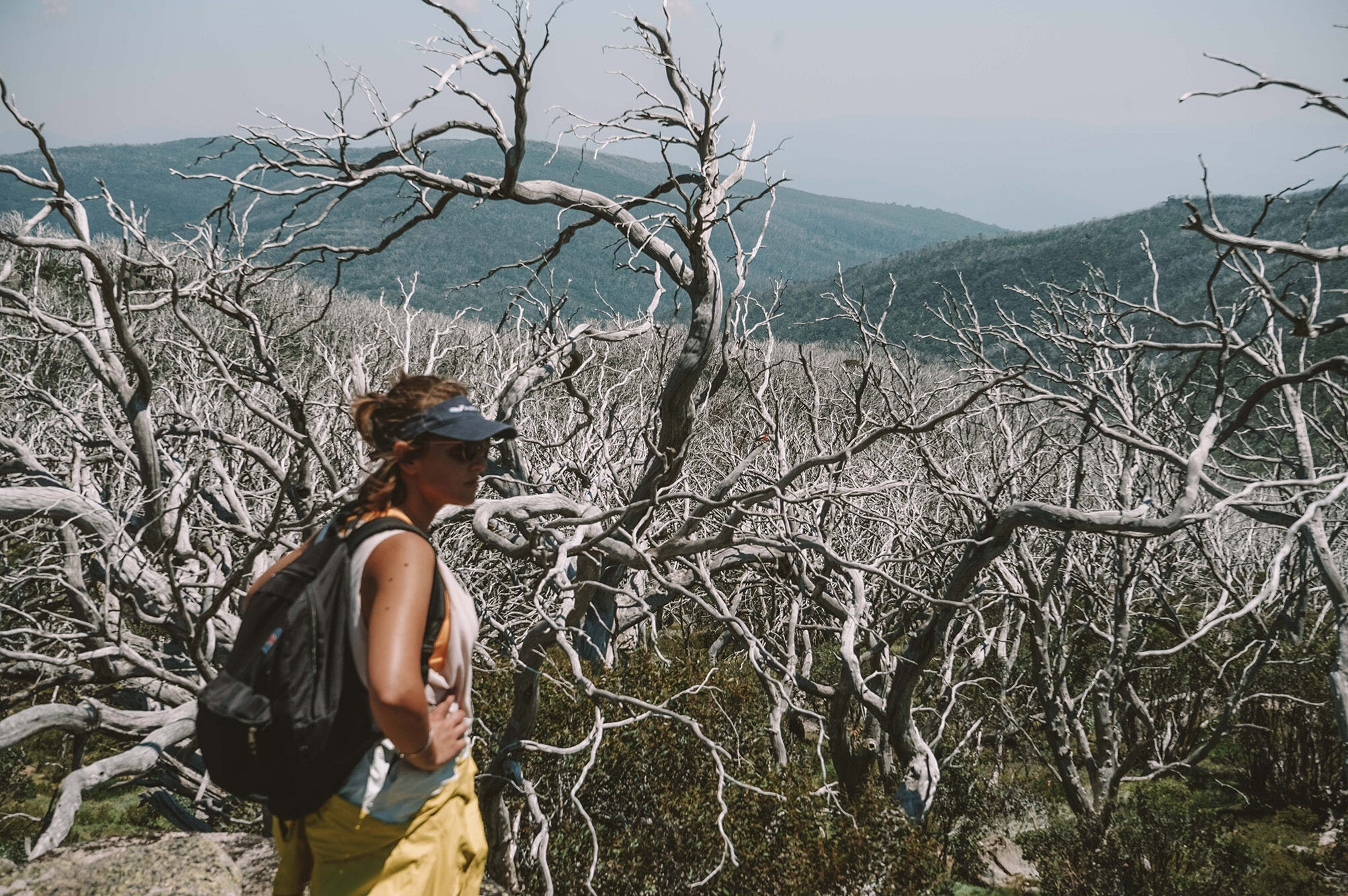
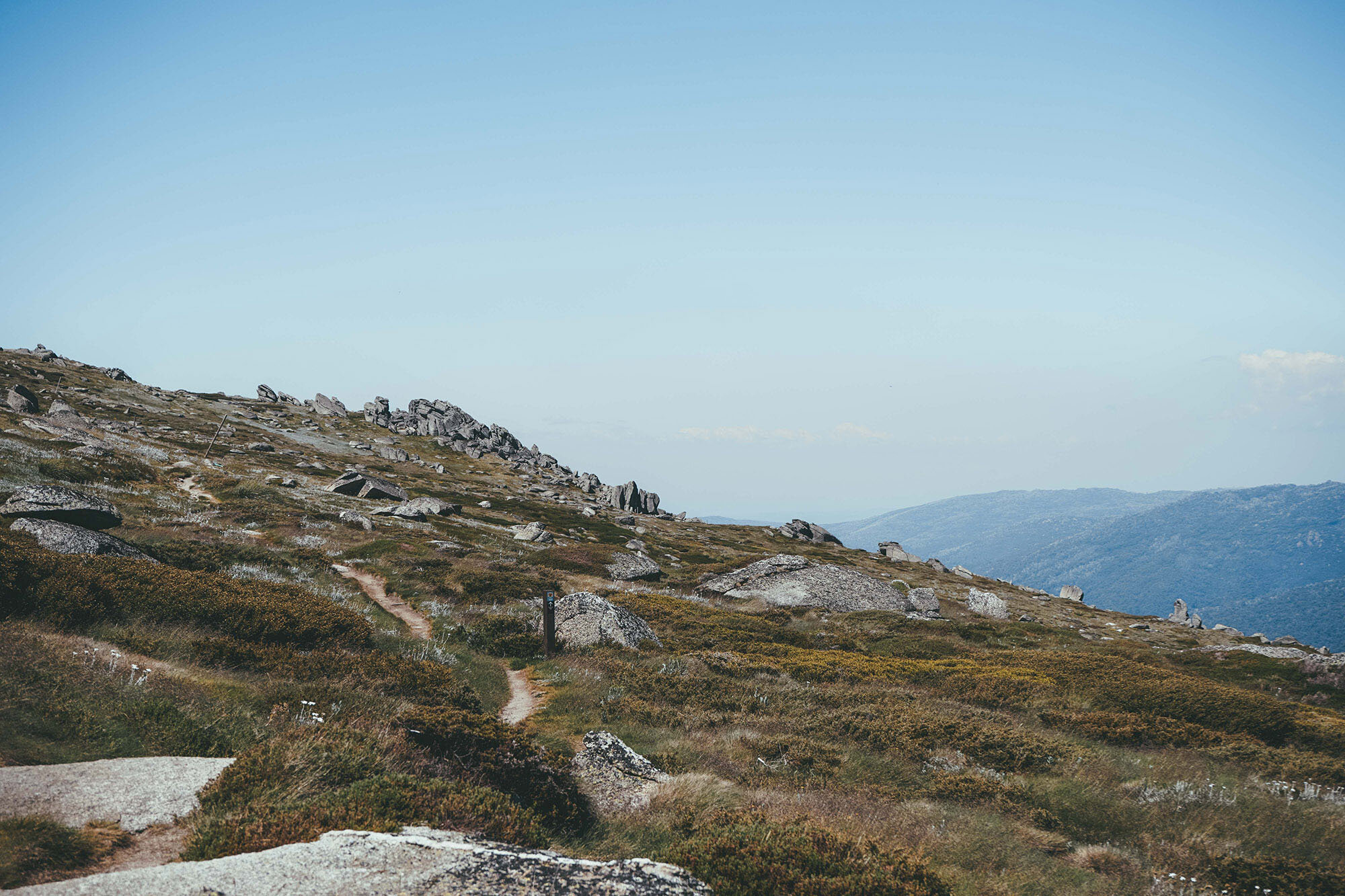
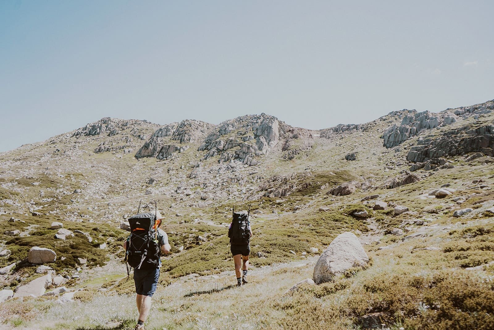
You’ll reach a junction. If you’re a bit tired, head straight back down the way you came, or if you’re up for a bit of an adventure (and some killer views!), turn left onto the Main Range Track, towards Muellers Pass.

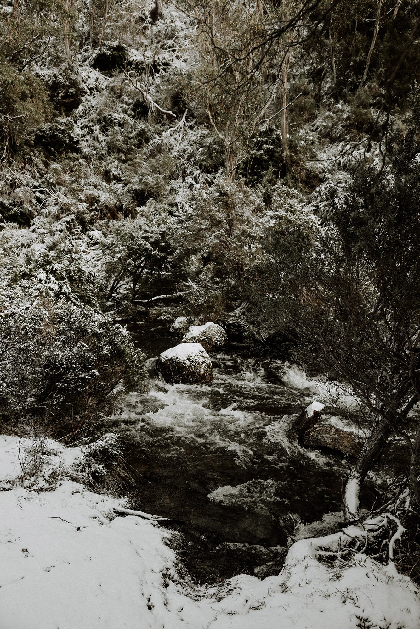
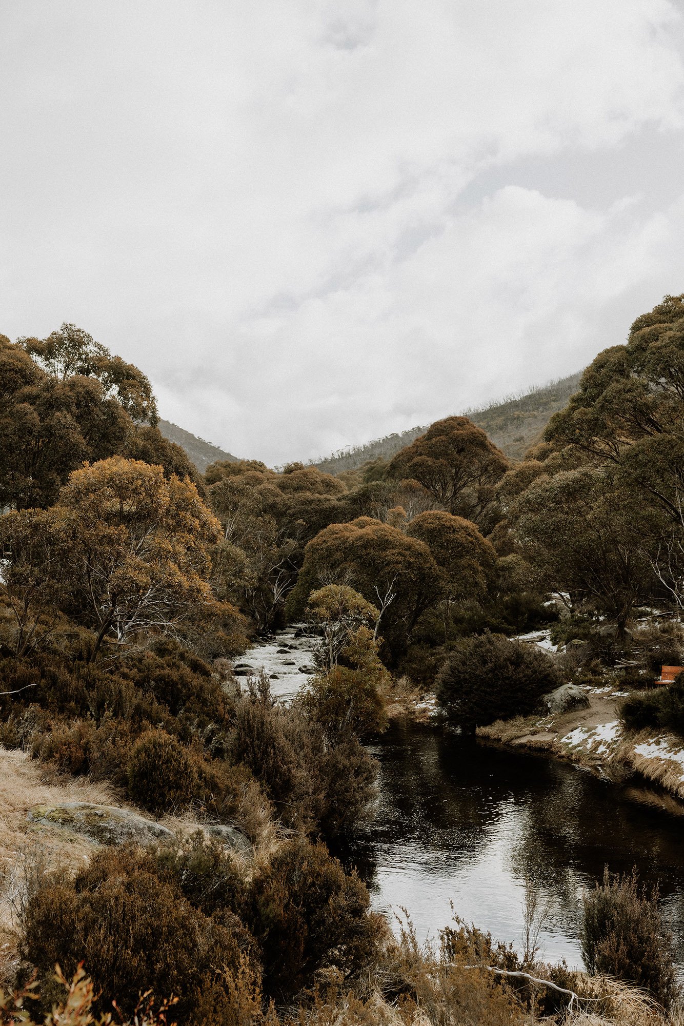
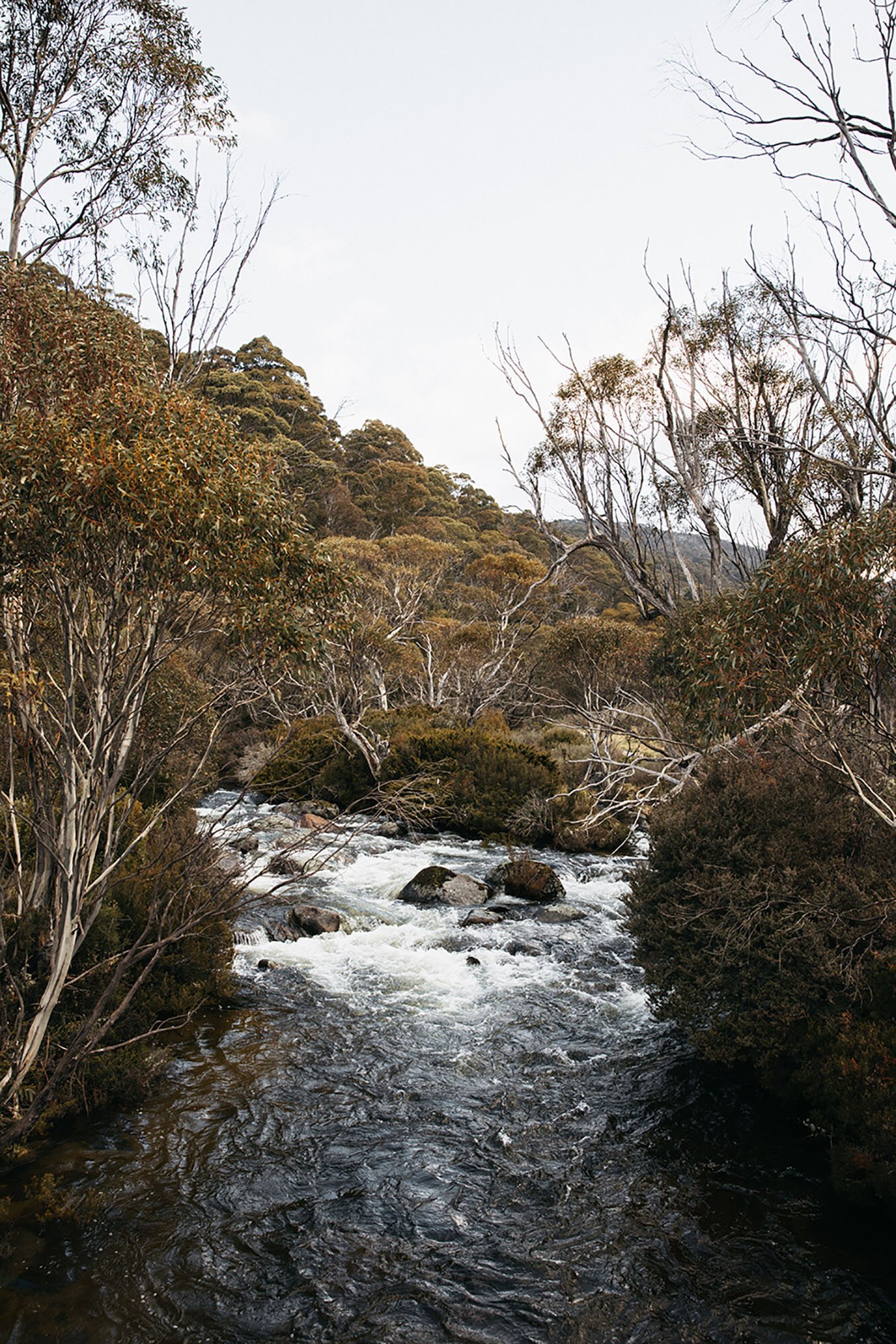
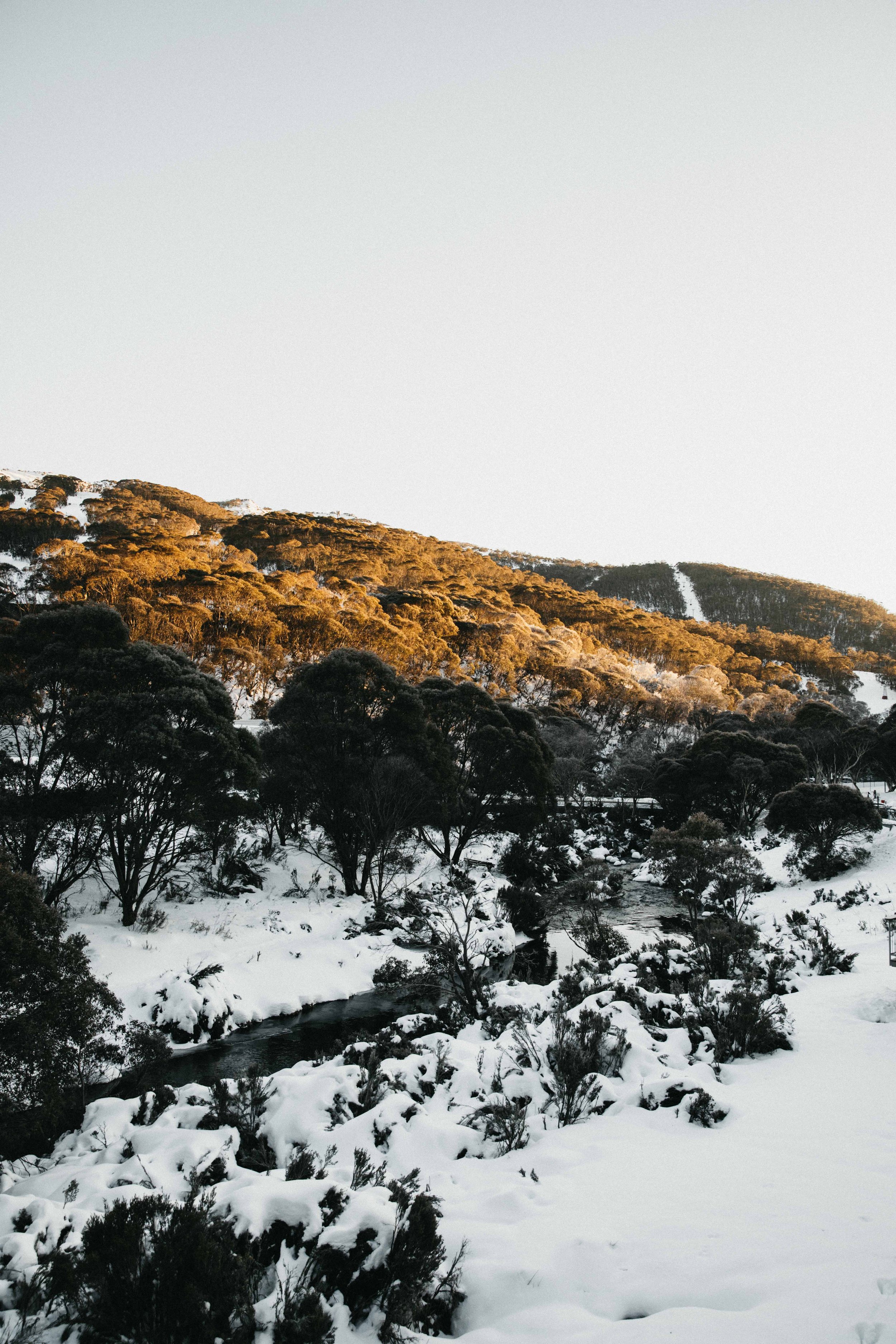
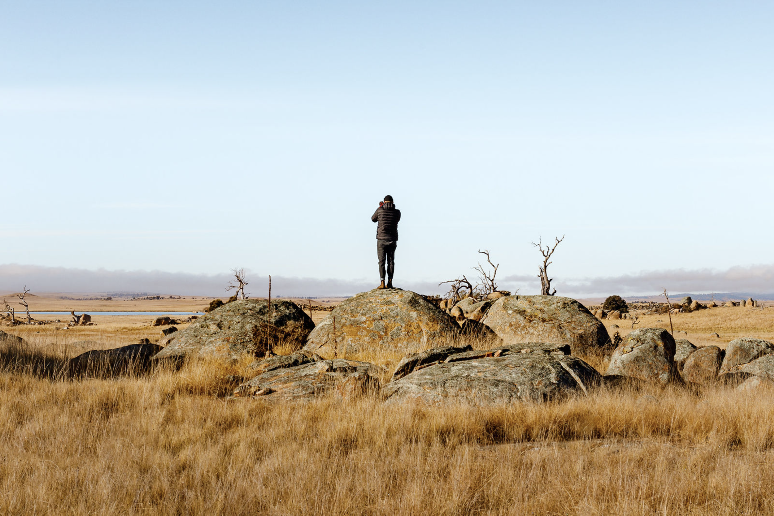
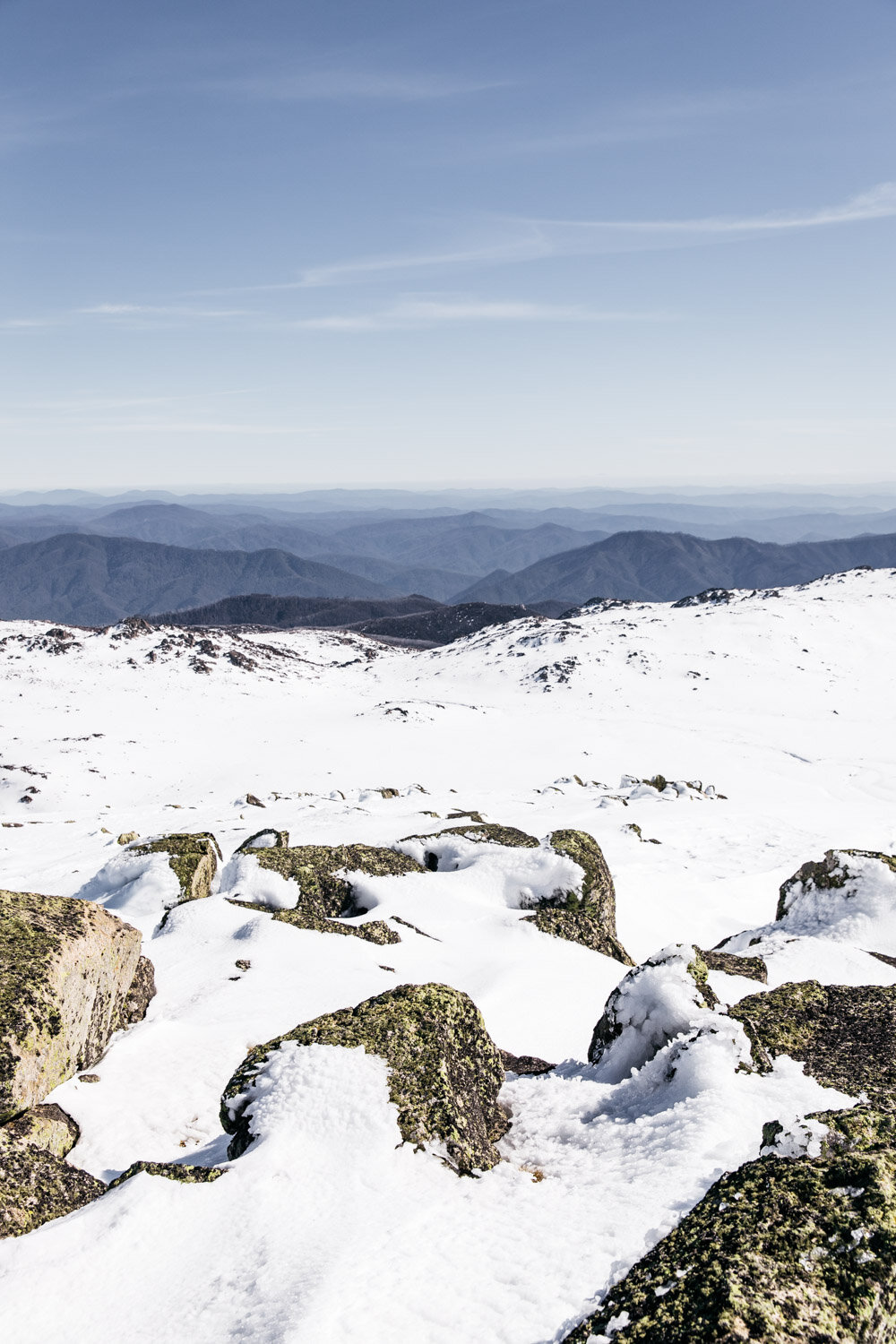
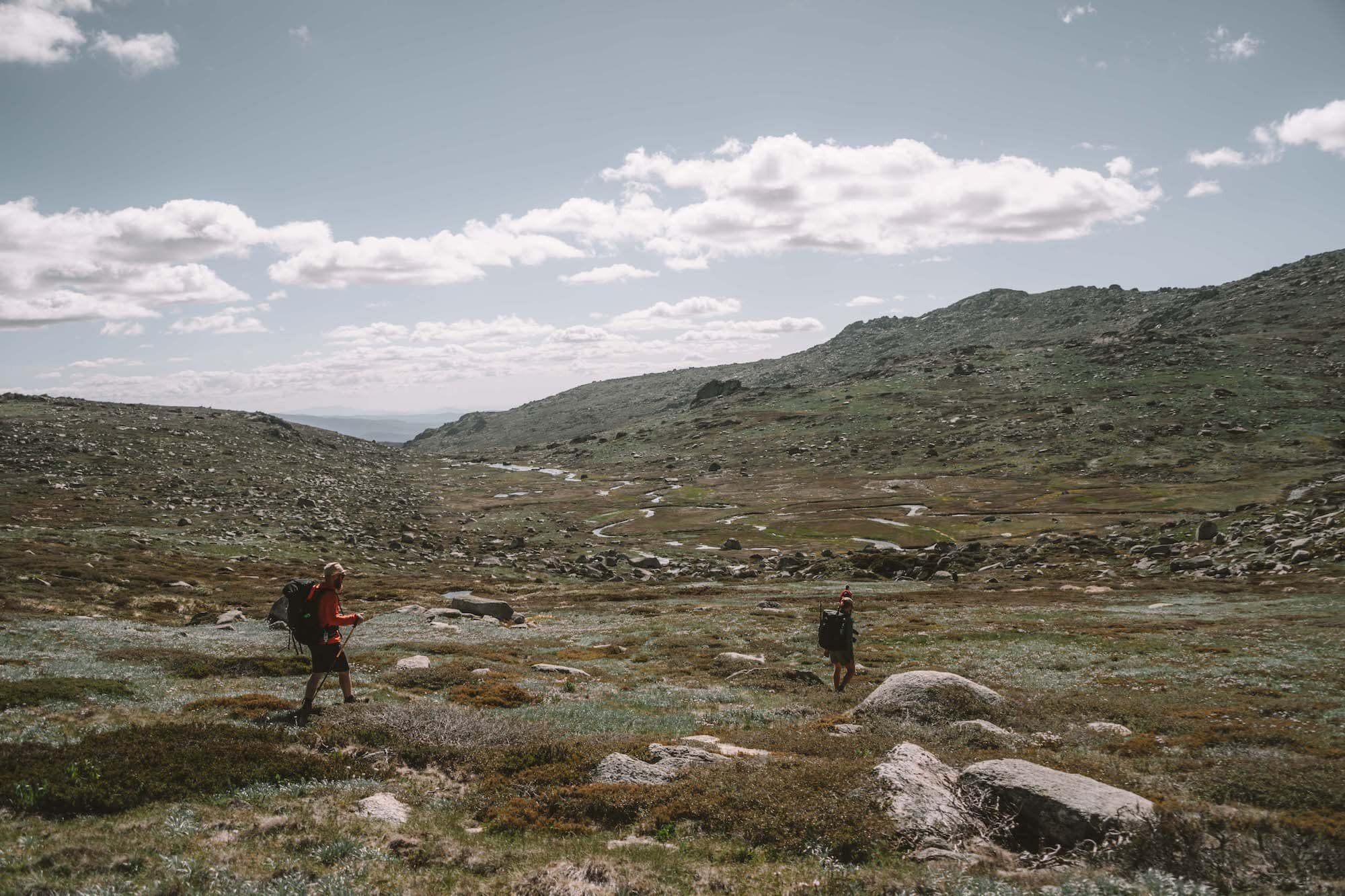
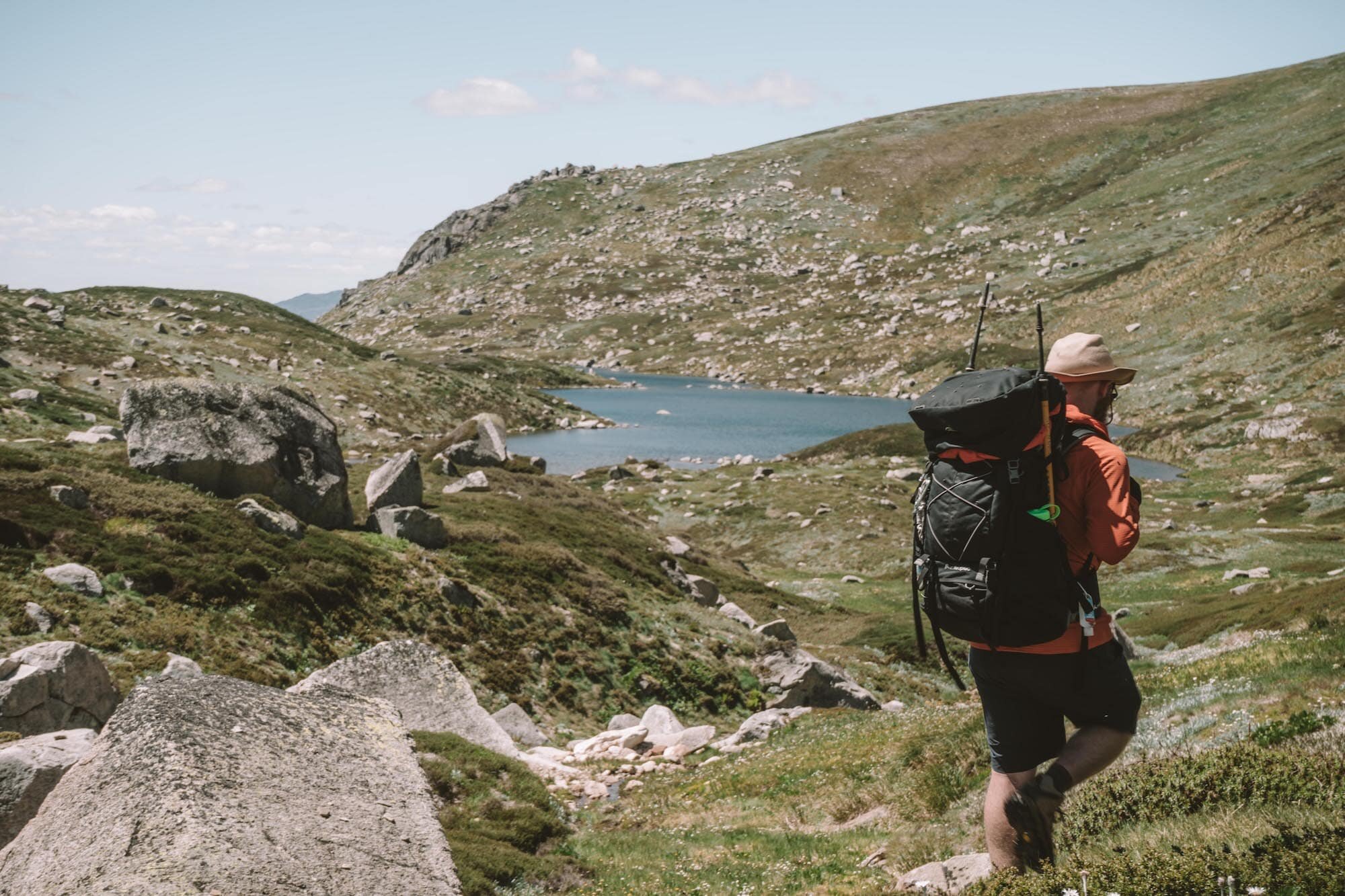
Off-track adventure to Wilkinsons Creek

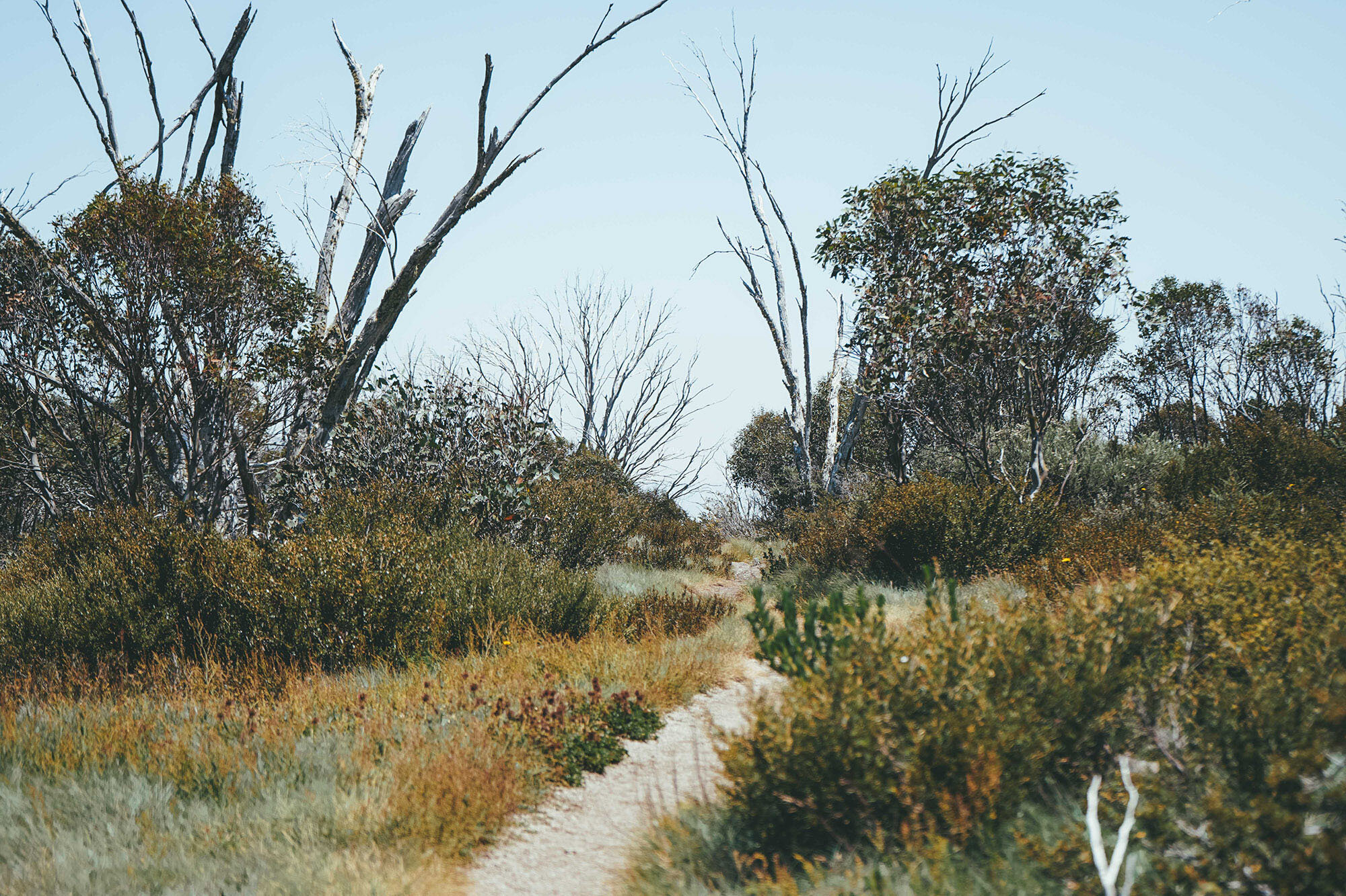
Follow that path for about 1.5km—it’s an easy walk, but hold onto your hat if the wind is strong on the day you’ve chosen! This stretch a track is quite unprotected.

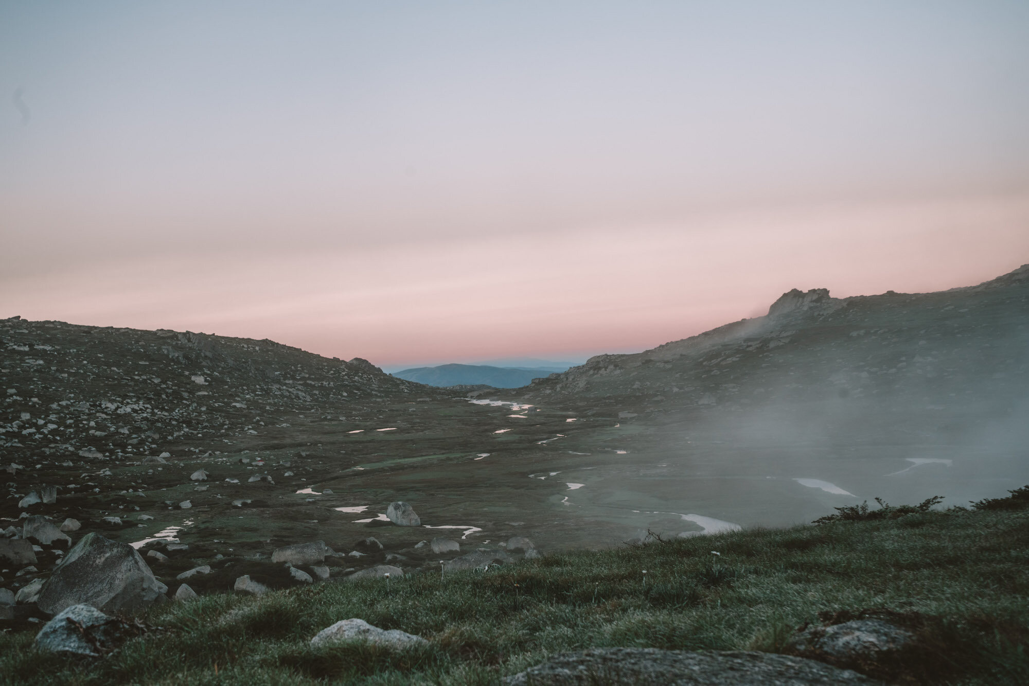
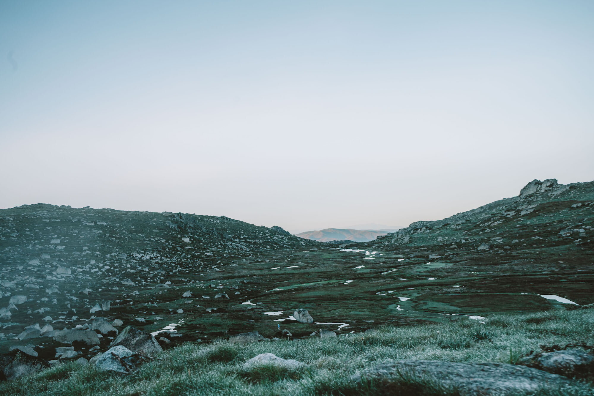
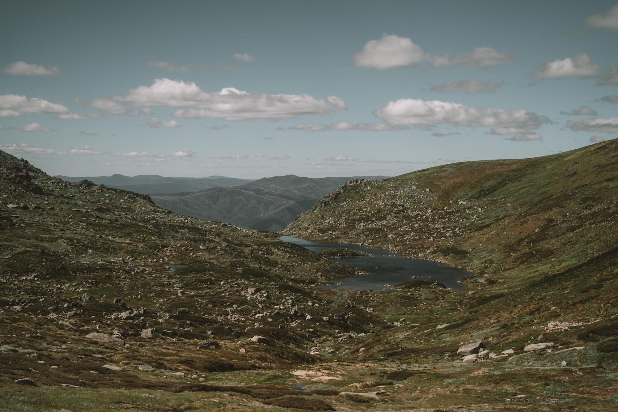
After you’ve been walking about 1.5km, you’ll see a big valley stretching out to your left.

TIP: Measuring approximate distances when hiking is a matter of counting your paces. One pace equals two steps, so every time your right foot hits the ground, that’s one pace. For most people, one pace is around 1.5m. So, if 1.5km is 1,500m, that’s about 1000 steps altogether.

If you want to be more accurate, measure your own pace distance, and use that to divide rather than the standard 1.5m, next time you’re out on the trail.

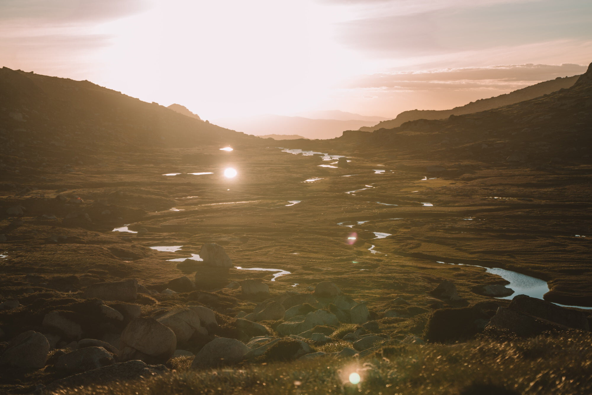
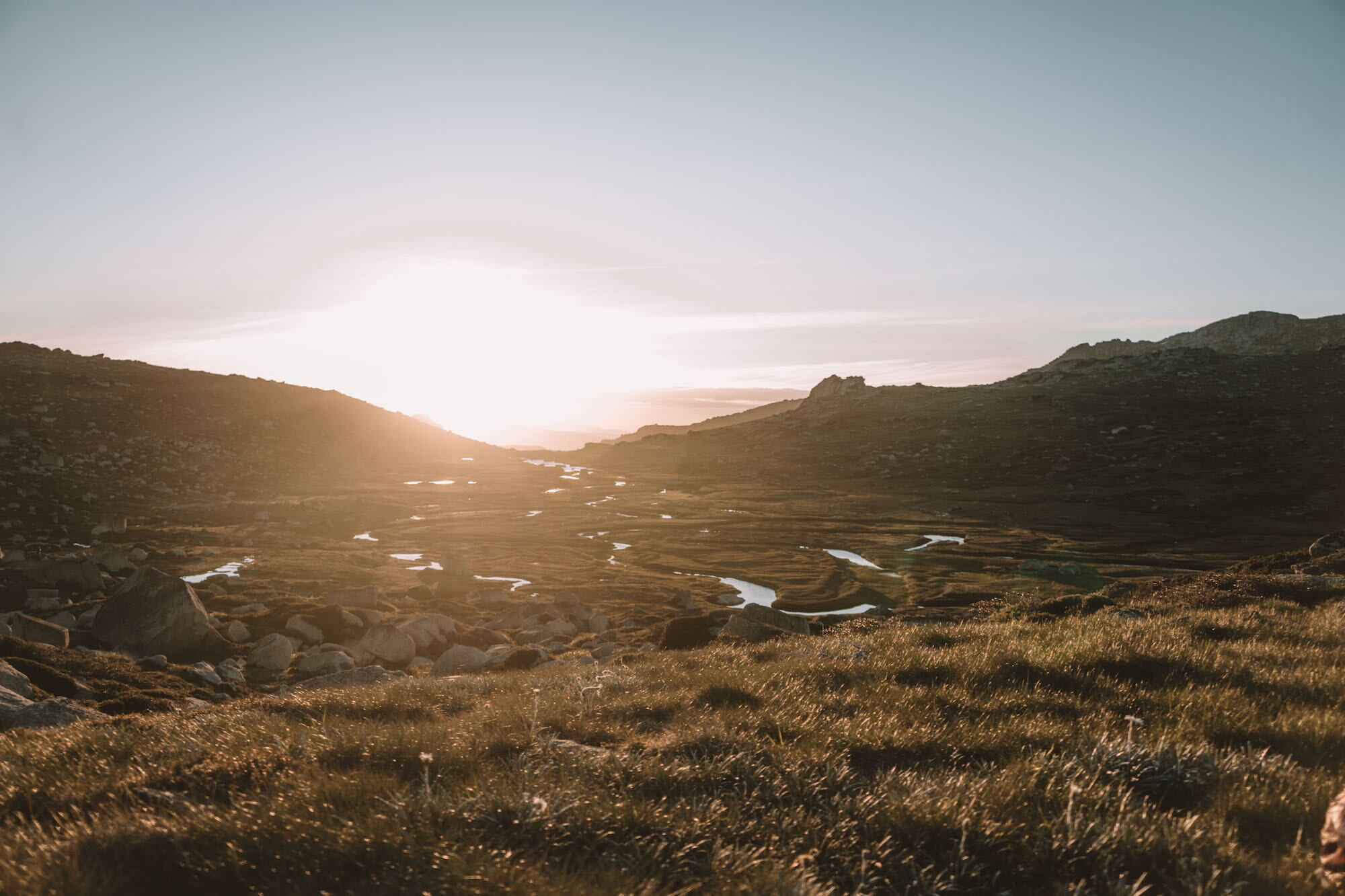
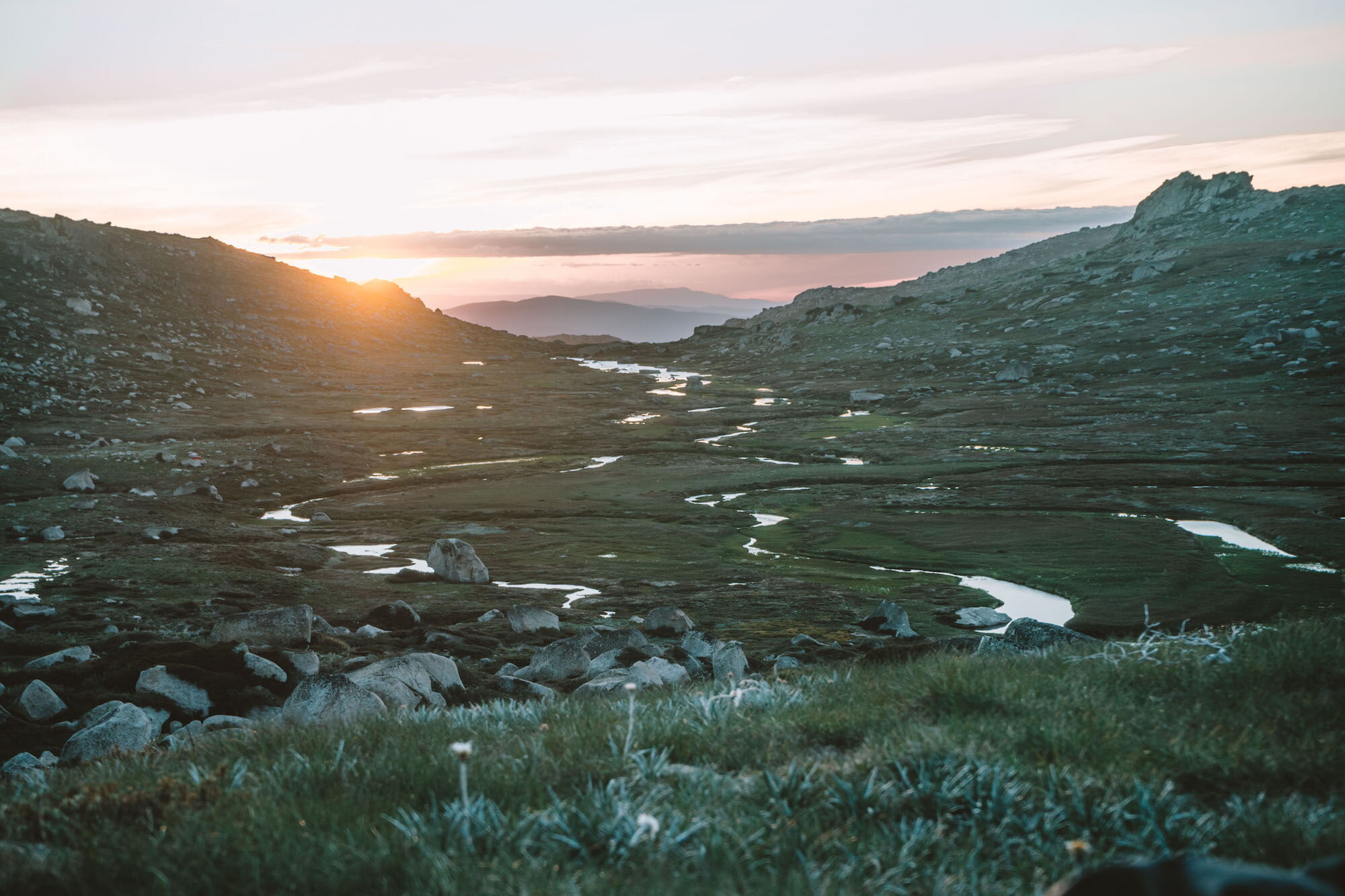
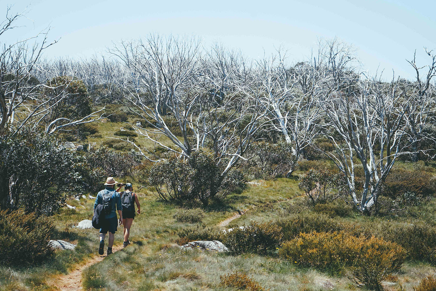
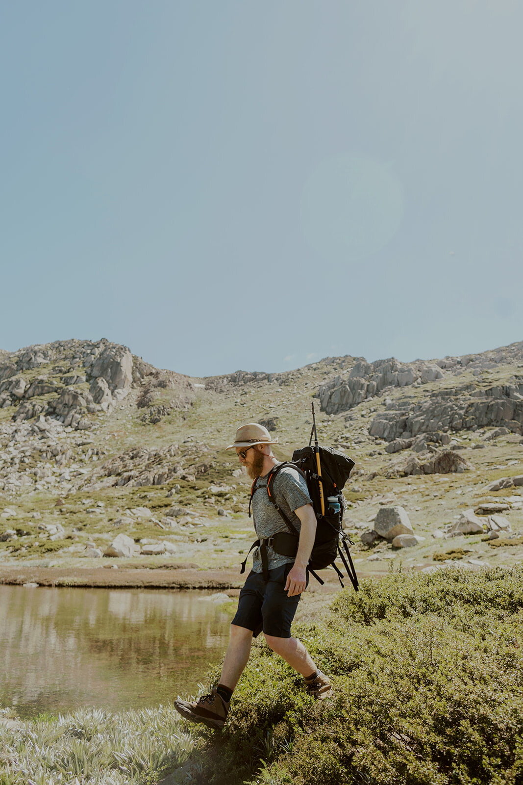
Venture off the track to your left, downhill for a couple of hundred metres. You might find a faint management trail to walk down, but if you don’t find it you’ll be fine to walk off-trail easily.

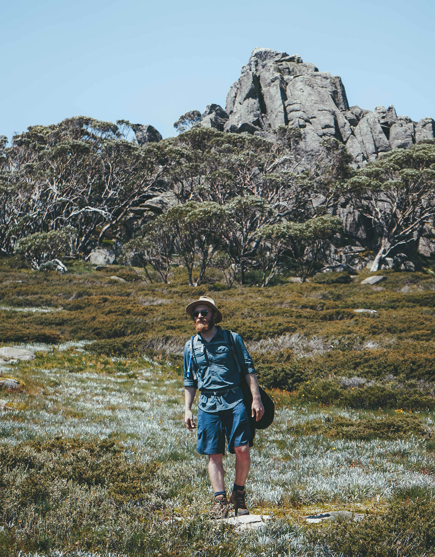
The lower you walk, you’ll start to see more and more of the sweeping valley view of Wilkinsons Creek spreading out like a multi-pronged serpent below you.

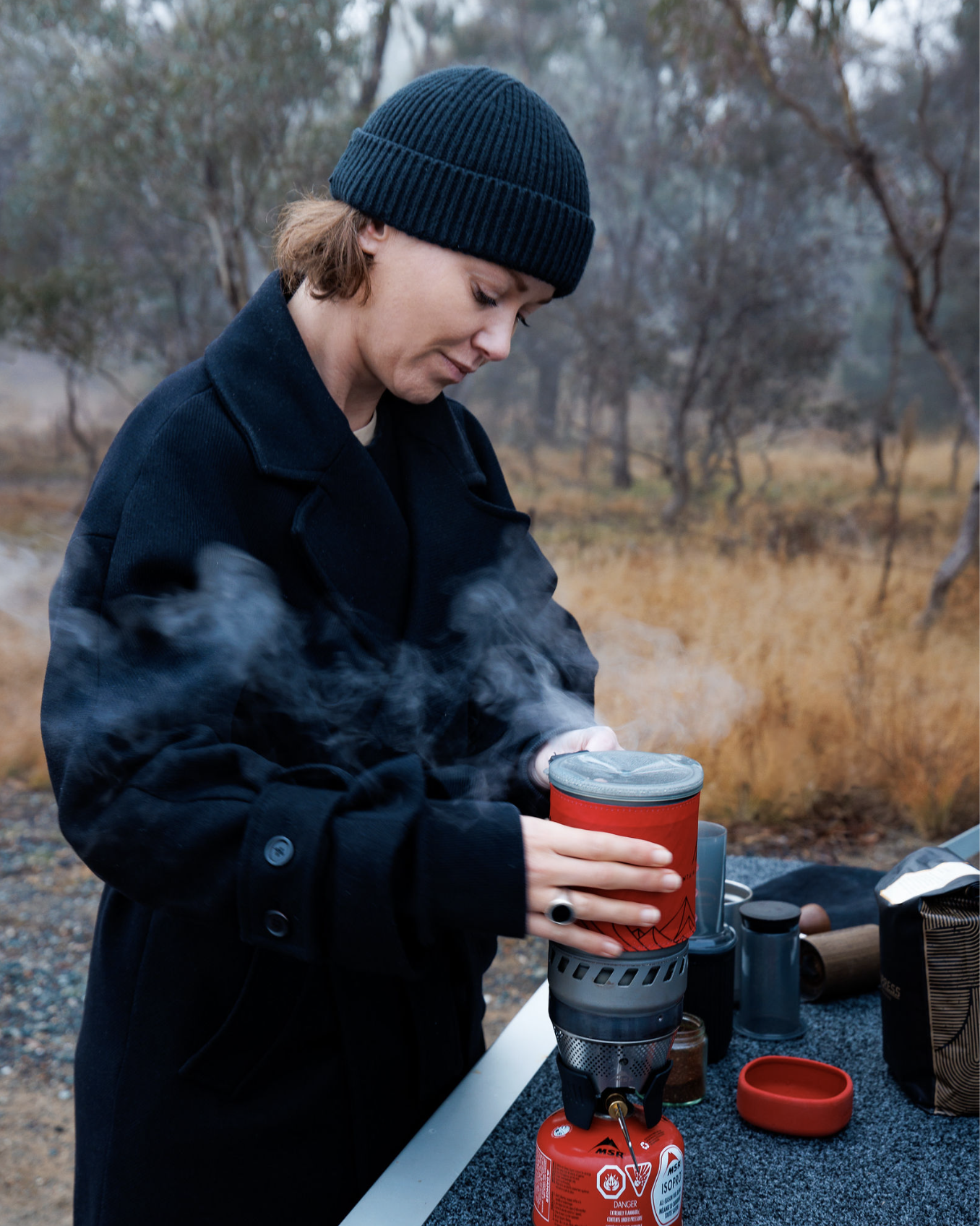
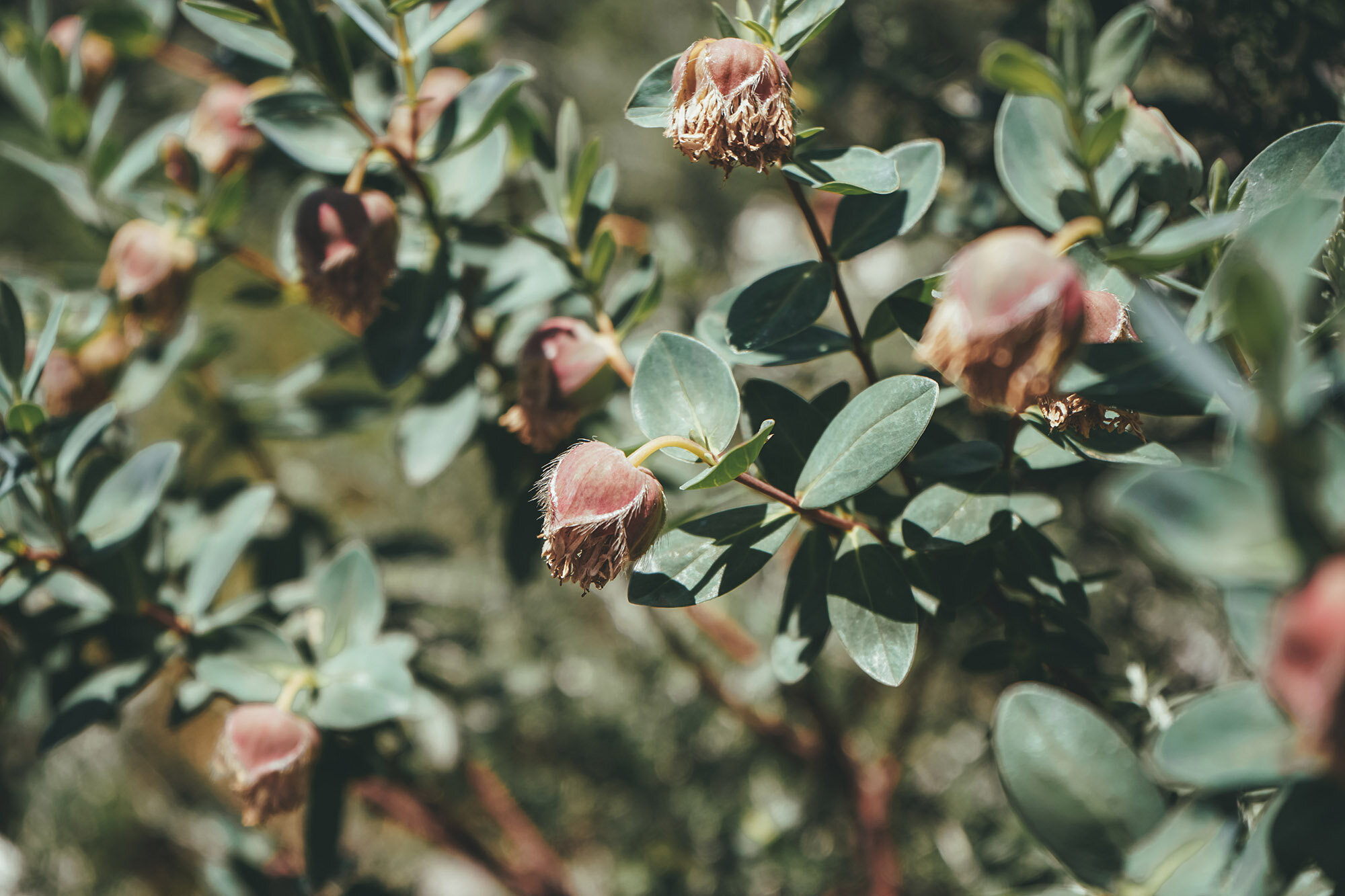
There are plenty of spots to set up for a picnic, and many big boulders that you should be able to find shade under if it’s a hot day.

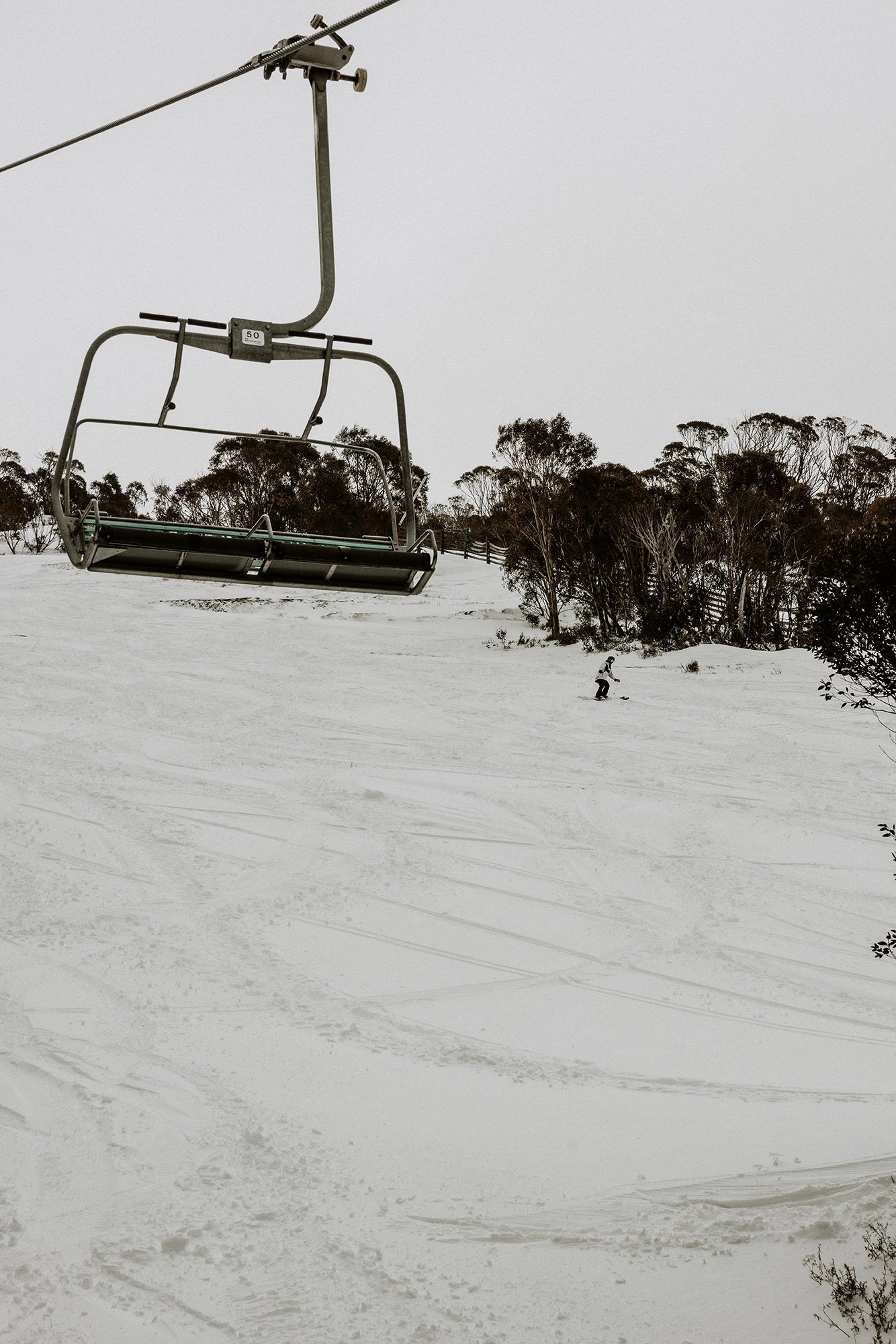
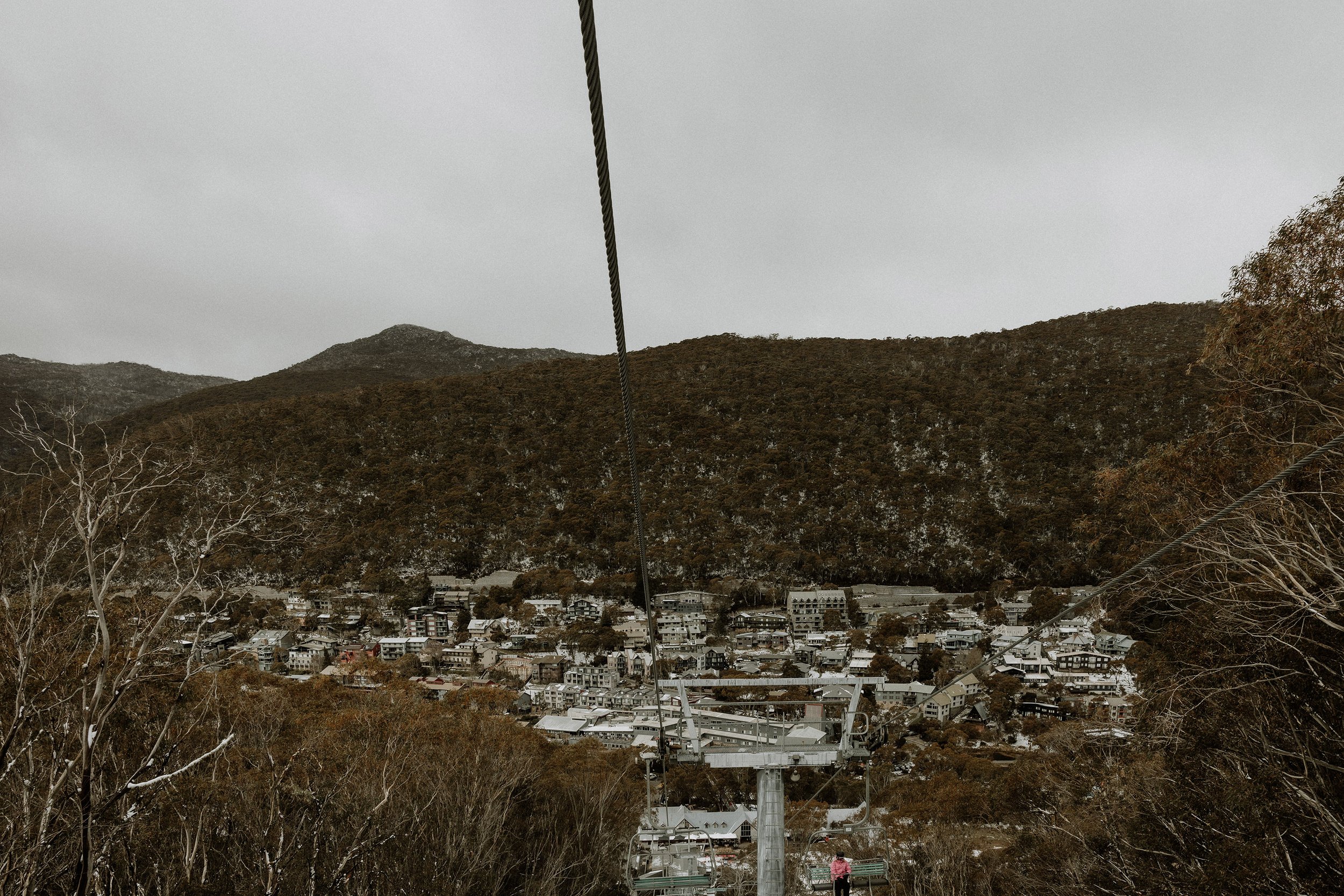
Back to the top of Kosciuszko Express Chairlift

Once you’ve had your fill, head back up the way you came, connect up with the Main Range trail and turn right. Head back to the Kosciuszko Walk, and follow it all the way down to Eagles Nest Restaurant.

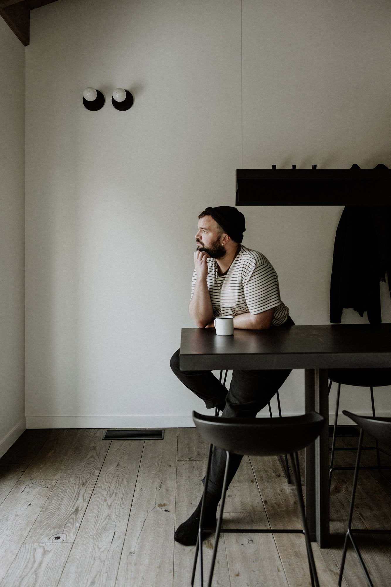
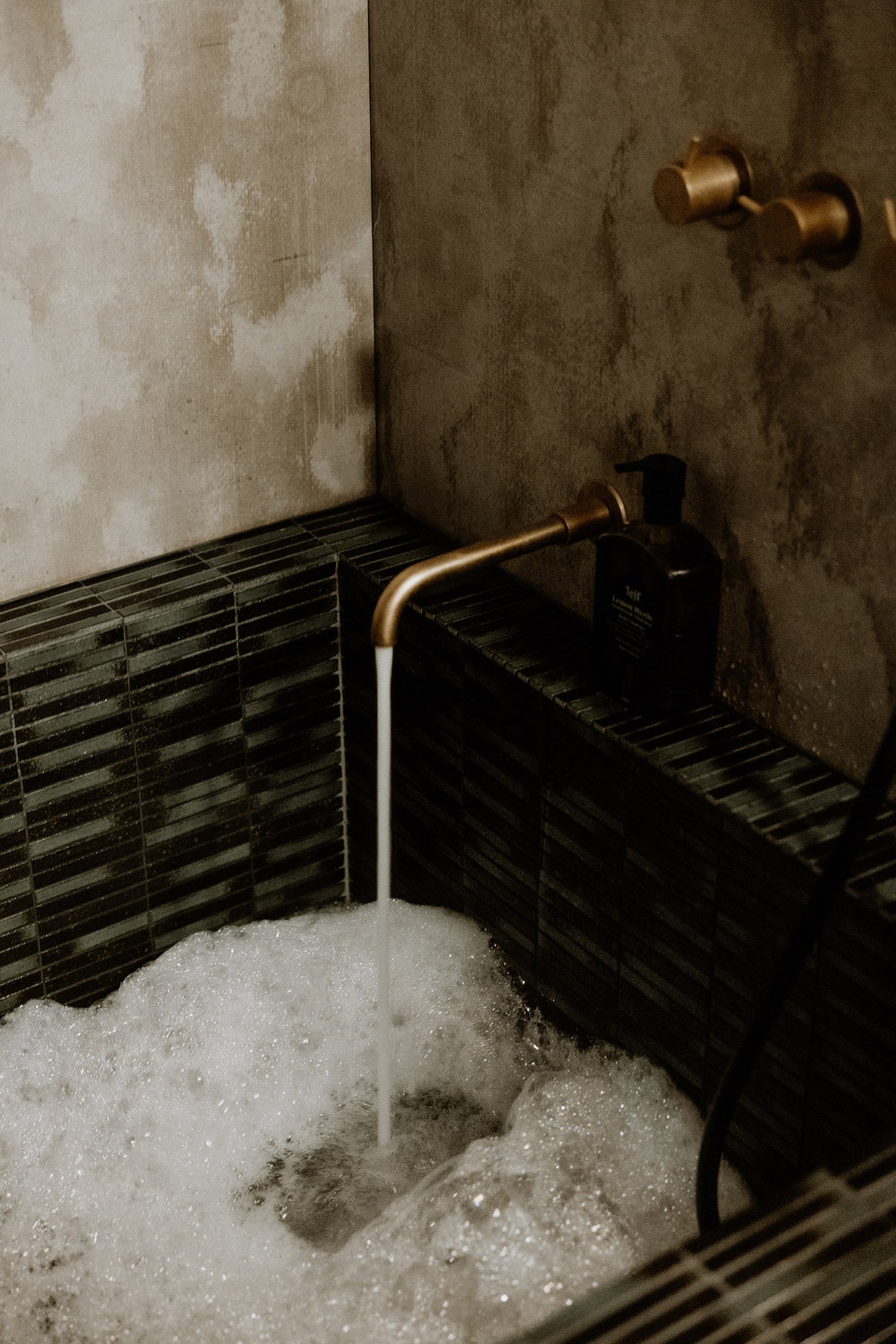
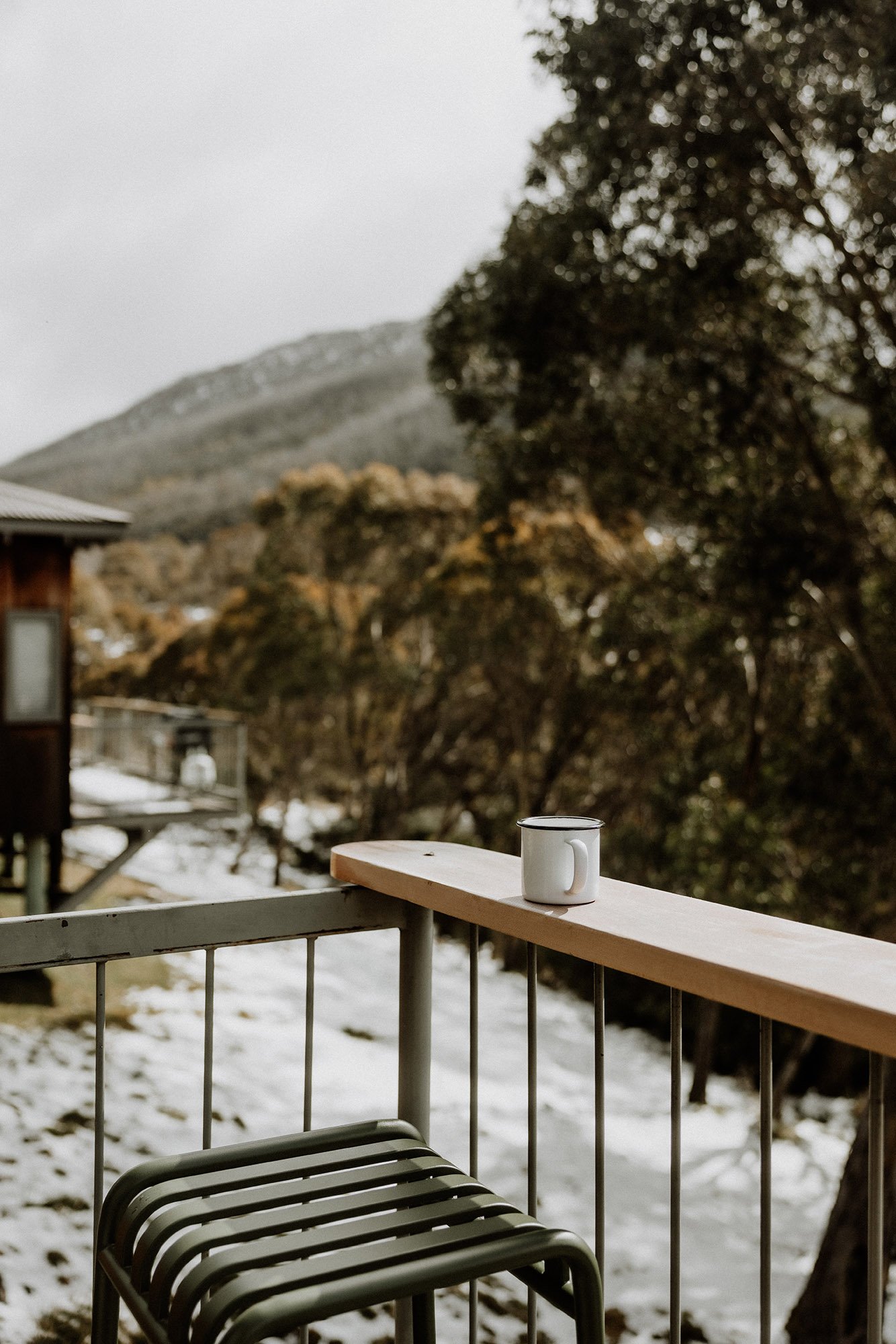
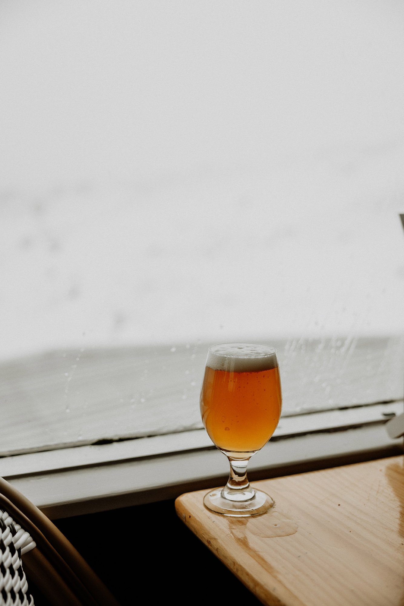
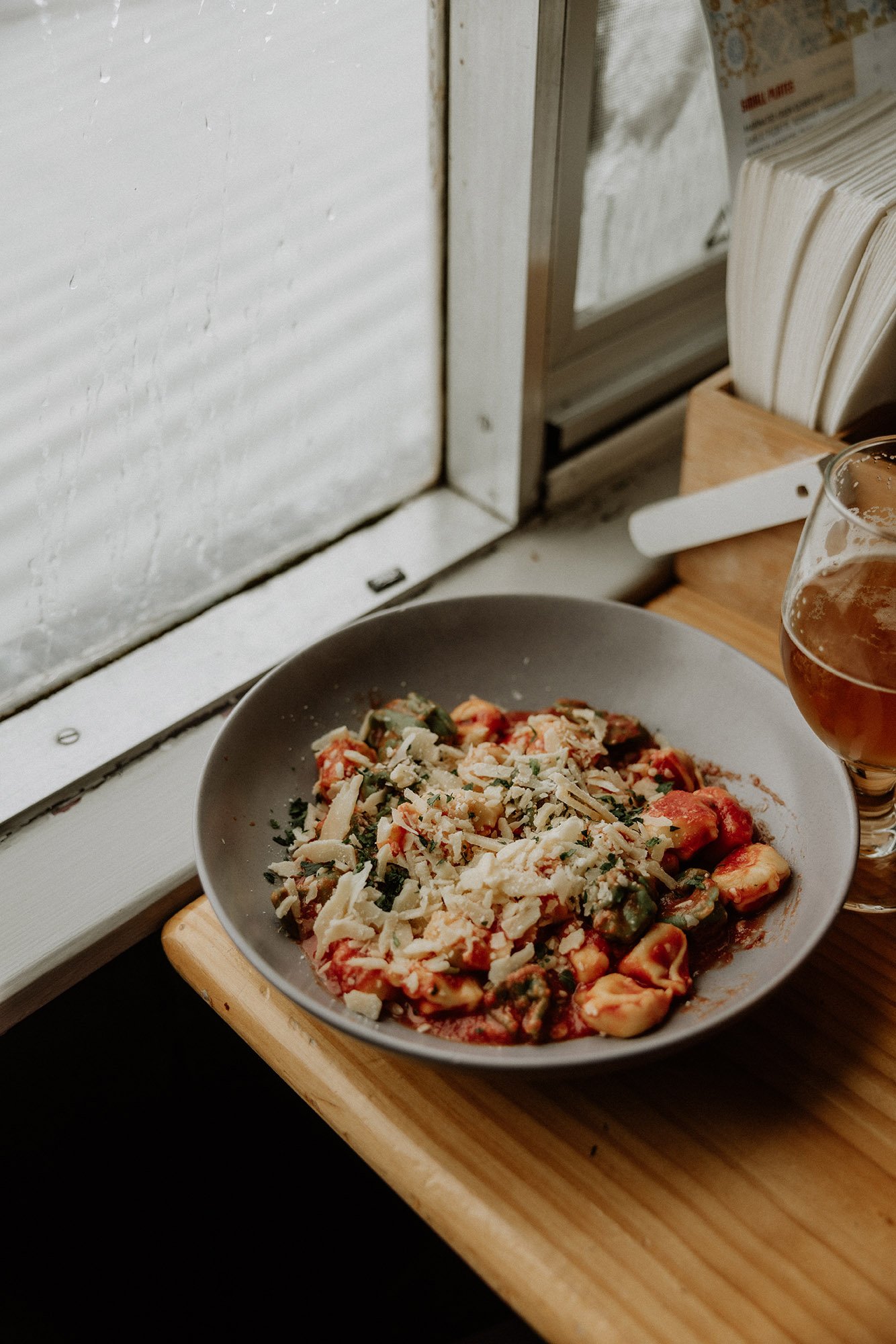
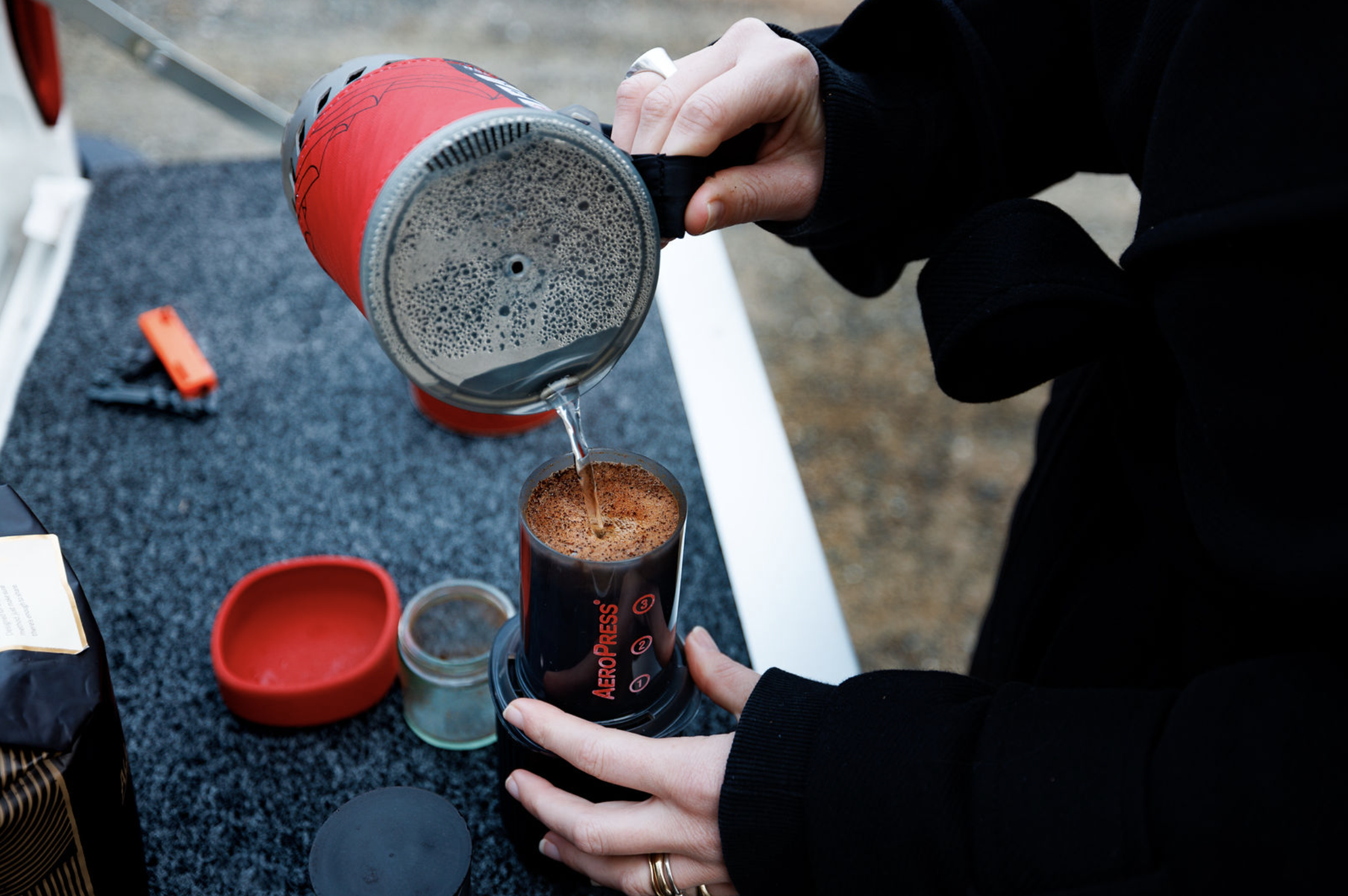
Stop for a beer if that’s your jam, or jump back on the chairlift to take you back down to the valley floor, where you can totter back to The Eastern for a well-deserved deep soak in the onsen bath.

Photo credit: @ellielouhere for Macpac


Other Important Info

Route Options

If you’re not up for the side trail, just stick to summiting Kosciuszko… it’s the highest mountain in Australia, that ought to be enough!

Leave No Trace Trail Etiquette

Walking off-trail comes with some rules and responsibilities. Firstly, if you’re not walking on a padded path (and obviously worn path), make sure that you and your hiking companions don’t make your own new path. You can prevent making a new path by ‘fanning out’, that is, all choosing your own path rather than following one person. The grass you’re treading on will recover much more quickly this way.

Secondly, be careful around water sources. Don’t wash your food containers in them, don’t go to the toilet near them (stay at least 100m away), and make sure you know the rules for swimming in them before you take the plunge.

Thirdly, if you’ve brought a stove to cook your lunch or make a cuppa, make sure to find a rocky spot to light it, rather than directly on the grass. Campfires are also prohibited in the alpine backcountry, so in case that was part of your plan, hold off until you’re somewhere safer.

Fourthly, I feel like this one should be quite obvious, but I’ll mention it anyway—pack a rubbish bag and pack out all of your rubbish. This means banana and orange peels, toilet paper, nutshells, muesli bar wrappers, bandaids… everything.

Gear to Bring

Day hiking gear (shoes or sneakers, about 3L of water, substantial snacks or lunch, basic first aid kit, rain jacket, sun protection including hat, sunglasses, long sleeves and sunscreen, and a mobile phone with the Emergency+ app installed); plus some cash for a beer at Eagles Nest and to buy a lift ticket.

More Information from Trusted Sources

HikingMonique Easton
Abbie Melle at the Cedar Cabin

So you’ve heard about The Eastern but you’re yet to visit, and perhaps you’re wondering what it’s like to stay down here? No, we’re not a hotel. The Eastern Thredbo Village is made up of two seperate AirBNB’s in Thredbo Village. Both locations sleep couples only.

so, I thought I’d let you see the trip through the eyes of Abbie Melle. Who’s a brilliant lifestyle, interior and travel photographer and often shoots for Country Style and Belle magazines.

Abbie visited The Eastern in July last year, during the start of ski season. And talk about timing with the amount of snow on the deck of the Cedar Cabin!

AM_TETV_010.jpg
AM_TETV_011.jpg
AbbieMelle_44.JPG
AM_TETV_012.jpg
AM_TETV_013.jpg
AM_TETV_014.jpg
Monique Easton
Hiking in Thredbo // Dead Horse Gap Via the Thredbo River Track

Dead Horse Gap is a one of its kind day hike which can be tackled literally from your doorstep when staying at The Eastern, Cedar Cabin. By combining the walk with the Thredbo River Track, you can leave the car in its parking spot, and hike to the Dead Horse Trailhead in less than an hour along a beautiful stretch of alpine river beauty, and head off on the Dead Horse Gap trail from there.

Kozitrip_jan19-20.jpg

Photo credit: @ellielouhere


Key Facts for Your Hike

Drive duration from The Eastern

N/A if you choose to walk from The Eastern, but 7 minutes drive if you choose to drive to the Cascade Hut trailhead (and skip the Thredbo River Track).

Distance of hike

Approx. 9km with a chairlift ride in the middle (the Thredbo River Track is 4km and Dead Horse gap track is 5km, both one-way).

Duration of hike

Approx. 5-6 hours (4-5 hours walking + 1 hour for lunch and the chairlift)

Start/Finish

The Eastern, Cedar Cabin.

Photo credit: @ellielouhere


Trip Notes: Dead Horse Gap Via the Thredbo River Track

The Thredbo River Track

From The Eastern, Cedar Cabin, access the Thredbo River Track by crossing over the river at Crackenback Dr, and turning immediately left, keeping the golf course on your right-hand side.

Meander through this beautiful sub-alpine ecosystem, the Thredbo River bubbling excitedly next to you the entire track until you reach the Dead Horse Gap trailhead.

Take in the scent of eucalyptus from the snow gums lining the river, and depending on the month you visit, experience a wide range of sun-alpine flora such as the bulbous, yellow billy buttons that cover the ground in early summer.

Dead Horse Gap

Arriving at the Dead Horse Gap trailhead, right next to the Alpine Way, follow a clear path through mixed eucalypt forest, experiencing the iconic ghostly snow gums.

The trail sits just beneath the spectacular Ramshead Range, which can be reached by the more advanced hikers who have the navigation skills to go off-track.

But if that’s not you, don’t worry! This trail is a stunning standalone option and requires no off-track navigation at all.

Kosciuszko Express Chairlift

Reaching the end of the Dead Horse Gap trail, you’ll have views down into Thredbo Village and in summer you might even see recreational mountain bikers snaking their way down the trails!

Stop off for an icy cold beer at Eagles Nest Restaurant before taking a cheeky shortcut via the Kosciuszko Express Chairlift. Which will deposit you safely in the Thredbo Village.

Stay for a bite to eat or wander back to The Eastern for a soak in the onsen bath or a cheese platter on the balcony.

Other Important Info

Route Options

This trail can be made into a loop by combining with the Thredbo River Track and making use of the Kosciuszko Express chairlift, but if you’re in a hurry or you don’t want a long hike, park one car at the Cascade Hut trailhead, and one car at the bottom of the Kosciuszko Express, and you’ll have a shorter, simpler walk that you can complete in less time.

Leave No Trace Trail Etiquette

Walking off-trail comes with some rules and responsibilities. Firstly, if you’re not walking on a padded path (and obviously worn path), make sure that you and your hiking companions don’t make your own new path. You can prevent making a new path by ‘fanning out’, that is, all choosing your own path rather than following one person. The grass you’re treading on will recover much more quickly this way.

Secondly, be careful around water sources. Don’t wash your food containers in them, don’t go to the toilet near them (stay at least 100m away), and make sure you know the rules for swimming in them before you take the plunge.

Thirdly, if you’ve brought a stove to cook your lunch or make a cuppa, make sure to find a rocky spot to light it, rather than directly on the grass. Campfires are also prohibited in the alpine backcountry, so in case that was part of your plan, hold off until you’re somewhere safer.

Fourthly, I feel like this one should be quite obvious, but I’ll mention it anyway—pack a rubbish bag and pack out all of your rubbish. This means banana and orange peels, toilet paper, nutshells, muesli bar wrappers, bandaids… everything.

Gear to Bring

Day hiking gear (shoes or sneakers, 2L water bottle, substantial snacks or lunch, basic first aid kit, rain jacket, sun protection including hat, sunglasses, long sleeves and sunscreen, and a mobile phone with the Emergency+ app installed); plus some cash for a beer at Eagles Nest and to buy a lift ticket.

Find more info at the NSW National Parks and Wildlife Service website

HikingMonique Easton
Hiking in Thredbo // Charlotte Pass to Blue Lake (with a side trip to Carruthers Peak and Lake Albina)

Starting at Charlotte Pass, and passing by Blue Lake, Carruthers Peak and Lake Albina, this return hike allows you to take in many of the iconic views from the Main Range walk, a 22km loop that many choose to tackle in two days, with an overnight campout. By heading out for a day walk though, you’ll be able to carry less and even hike off-trail down to the pristine Lake Albina for a picnic.

blue lake ellie keft hiking.jpg

Photo credit: @ellielouhere


Key Facts for Your Hike

Drive duration from The Eastern

About an hour to Charlotte Pass

Distance of hike

To Blue Lake 5km, then an extra about 10km return if you head to Lake Albina and return to Charlotte Pass back the way you came.

Duration of hike

Leave around 6 hours

Start/ Finish

Charlotte Pass

Photo credit: @ellielouhere


Trip Notes: Charlotte Pass to Blue Lake (with a side trip to Carruthers Peak and Lake Albina)

Charlotte Pass Trailhead

Park your car and set off from Charlotte Pass, where you’ll take the Main Range Track to Blue Lake. Other tracks that set off from this location are the Snow Gums Boardwalk to the right, the Summit Walk to Mount Kosciuszko on the left. Head down the middle one and your way to Blue Lake.

Blue Lake Lookout to Blue Lake

After about 5km of walking, you’ll get to Blue Lake lookout, where you can choose to either turn right for a side trip to check out the lake a little closer, or left to head towards Carruthers Peak.

Side Trip to Carruthers Peak and Lake Albina

Continue on over Carruthers Peak by following the Main Range Trail towards Lake Albina. You’ll know when you see Lake Albina—it’s a big lake on your right hand side, and there is a steep drop down to it.

If you’re up for it, I’d highly recommend hiking down to the lake to check out the tarn ecosystem, but if you’re wrecked, viewing it from above is a perfectly fine option.

Photo credit: @ellielouhere Photo credit: @hikingrat for Macpac

Other Important Info

Route Options

You can shorten this by not walking all the way to Lake Albina and simply checking out Blue Lake and heading back to Charlotte Pass, but if you have the time and energy, it is well worth it! Also, make sure your car has enough petrol and remember top up in Jindy if you need to.

Leave No Trace Trail Etiquette

Walking off-trail comes with some rules and responsibilities. Firstly, if you’re not walking on a padded path (and obviously worn path), make sure that you and your hiking companions don’t make your own new path. You can prevent making a new path by ‘fanning out’, that is, all choosing your own path rather than following one person. The grass you’re treading on will recover much more quickly this way.

Secondly, be careful around water sources. Don’t wash your food containers in them, don’t go to the toilet near them (stay at least 100m away), and make sure you know the rules for swimming in them before you take the plunge.

Thirdly, if you’ve brought a stove to cook your lunch or make a cuppa, make sure to find a rocky spot to light it, rather than directly on the grass. Campfires are also prohibited in the alpine backcountry, so in case that was part of your plan, hold off until you’re somewhere safer.

Fourthly, I feel like this one should be quite obvious, but I’ll mention it anyway—pack a rubbish bag and pack out all of your rubbish. This means banana and orange peels, toilet paper, nutshells, muesli bar wrappers, bandaids… everything.

Gear to Bring

Day hiking gear (shoes or sneakers, 2L water bottle, substantial snacks or lunch, basic first aid kit, rainjacket, sun protection including hat, sunglasses, long sleeves and sunscreen, and a mobile phone with the Emergency+ app installed); plus some cash for a beer at Eagles Nest and to buy a lift ticket.

More Information from Trusted Sources

Photo credit: @hikingrat for Macpac

HikingMonique Easton
Sea Ranch, Robin Dyke's Inspiration Behind Riverside Cabins

Barbara Stauffacher Solomon was not only a pioneer in the male-dominated midcentury design world, she was also an innovator, essentially inventing the field of supergraphics. In a new interview—shot in Solomon’s stunning San Francisco home—the 89-year-old recounts the history of her most famous project, the Sea Ranch, where her colorful environmental graphics humanised and publicised a legendary work of architecture.

Solomon was referred to the Sea Ranch’s developers by landscape architect Lawrence Halprin. At first, she was hired only to create the Sea Ranch’s logo and brochure. In fact, as she reveals in the interview, the now-iconic supergraphics were one of the last elements she designed for the development.

The architects (Charles Moore, Donlyn Lyndon, William Turnbull, and Richard Whitaker) had gone way over budget designing the Sea Ranch’s swim and tennis club and they needed a cost-effective signage system. Enter Solomon’s bold, Helvetica-heavy solution, achieved in just a handful of days with just a few coats of paint. The project was published in Life magazine, and the rest was history, says Solomon. “Everybody copied it.”

Robin Dyke, the architect behind Riverside Cabins (in which the Cedar Cabin is located) took inspiration from the structure of Sea Ranch, which were tucked into the cypress trees with rooflines having a slope ratio believed to provide the best way for wind to pass over the buildings and cause the least disturbance. This was just one of a long list of architectural and landscape decisions, from modest home sizes to native plantings, that put the Sea Ranch way ahead of its time in environmental sensitivity. With it’s values of affordable living with modern architecture and a shared commitment to living lightly on the land.

Each block located in Riverside cabins used to have a unified pop of primary colour on the front door and balcony in reference to Sea Ranch and supergraphics. Sadly the colours have been pained over by the owners committee, who clearly missed the genius reference!