Summiting Mount Kosciuszko is on so many people’s bucket lists, and rightfully so! But there is so much more to see around the highest mountain in Australia. And, it’s easier to get to than you probably think. Taking this route out to Wilkinsons Creek is a fantastic way to venture off the beaten track slightly, without straying so far from the path that you need off-track and navigation experience.


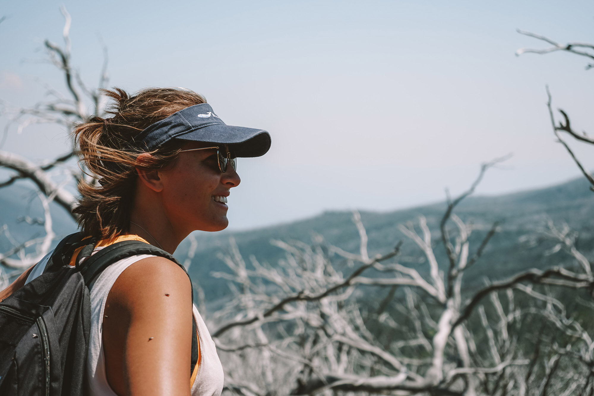
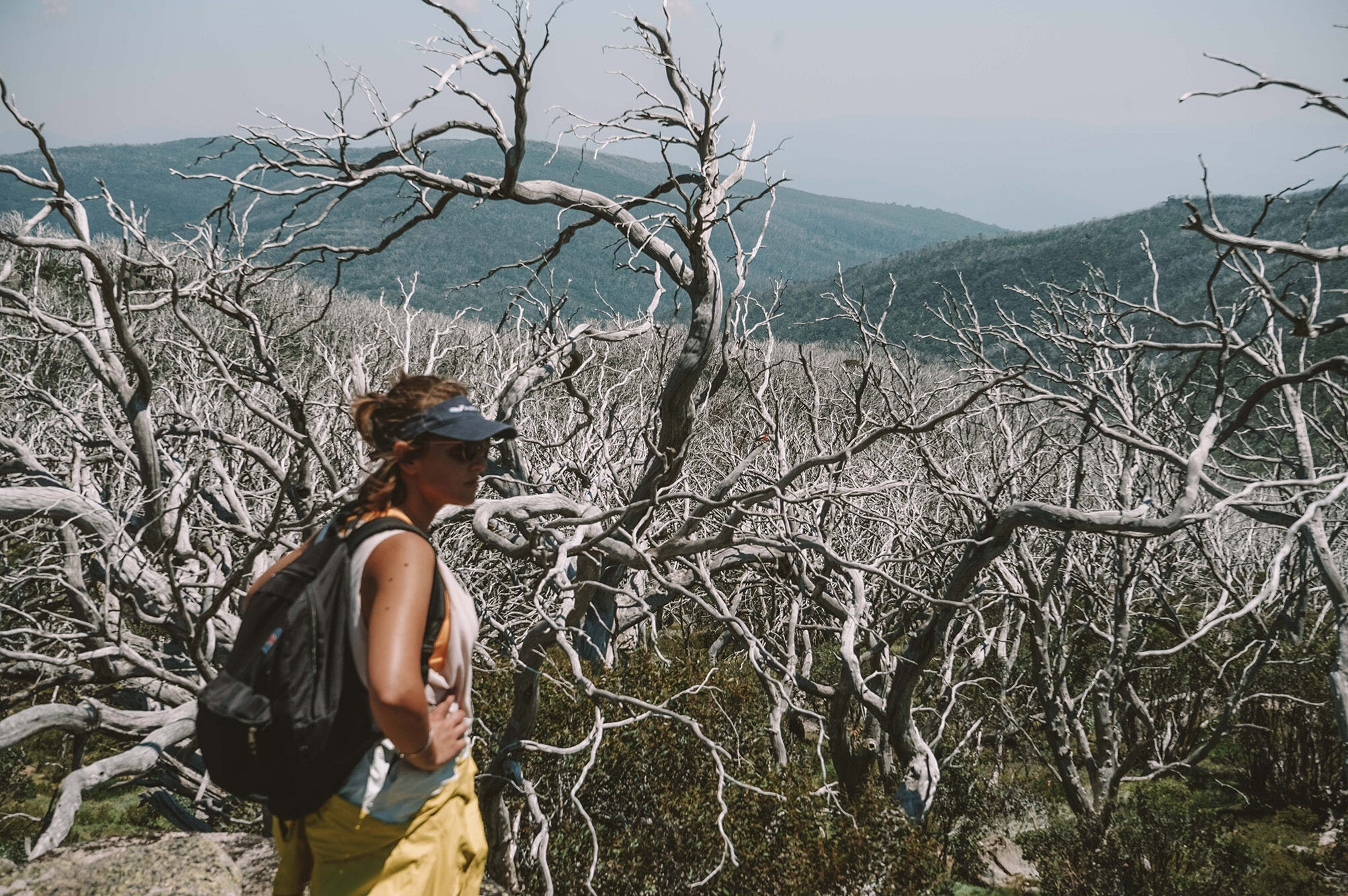
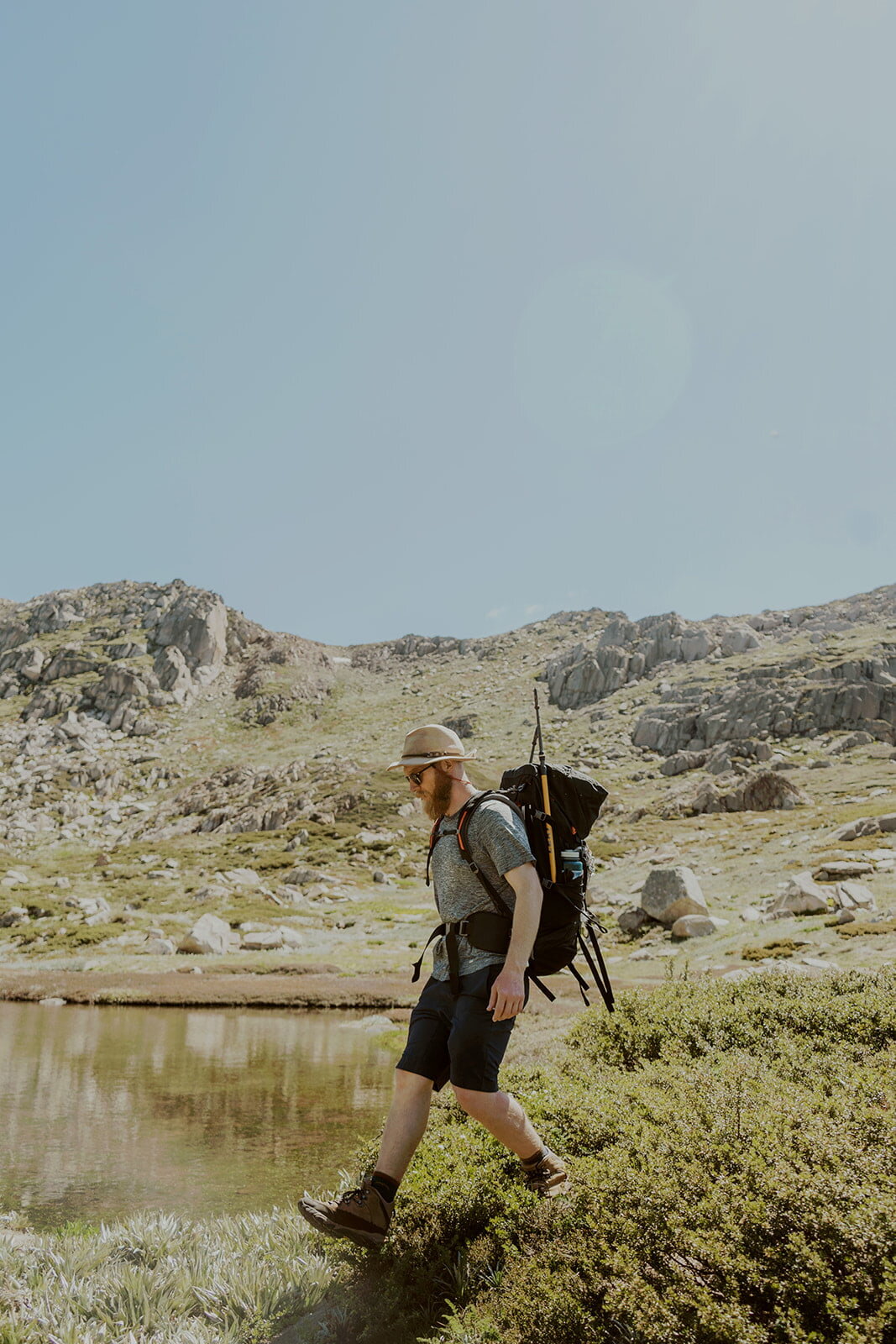
Photo credit: @hikingrat for Macpac
Key Facts for Your Hike
Duration from The Eastern
5 mins walk to the Kosciuszko Express Chairlift
Distance of hike
6.5km to the top of Kosciuszko + 1km back down + 2km to Wilkinsons + 2.5km to Rawson Pass Junction, and then another approx. 4.5km back to the top of the chairlift. So, 16.5 km altogether.
Duration of hike
I’d leave a full day, so approx. 7-8 hours—4-5 hours for the Kosciuszko part of the walk, another couple to visit Wilkinsons Creek, and then a bit extra for breaks. Keep in mind that how long your trip takes will depend on how many breaks you take, and how long you need to wait for the chairlift.
Start/Finish
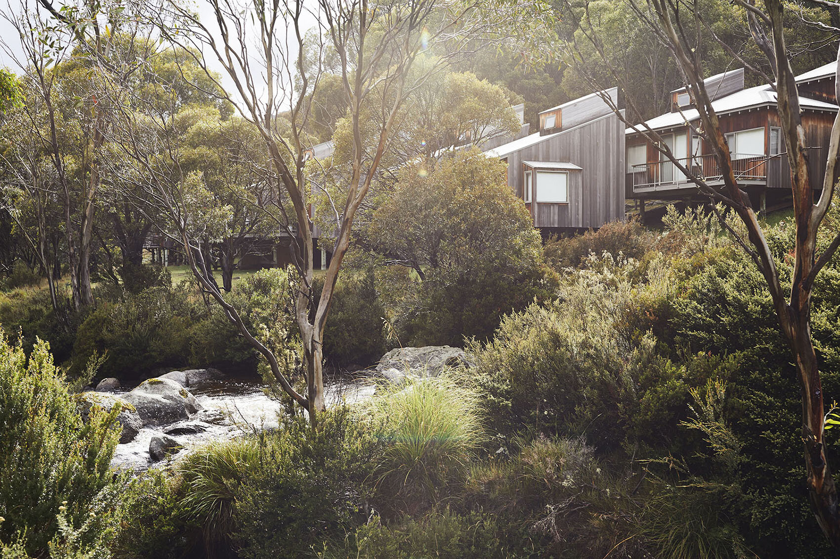
Bottom of the Kosciuszko Express Chairlift (which you can walk to from The Eastern)
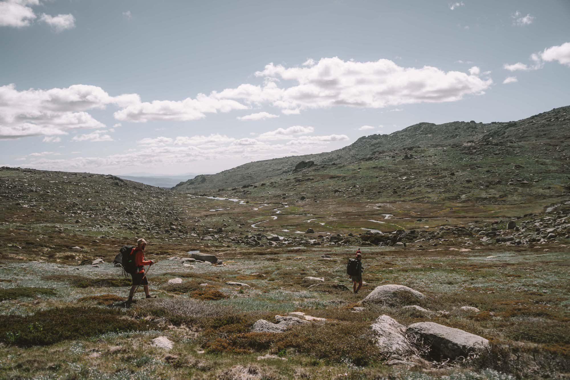
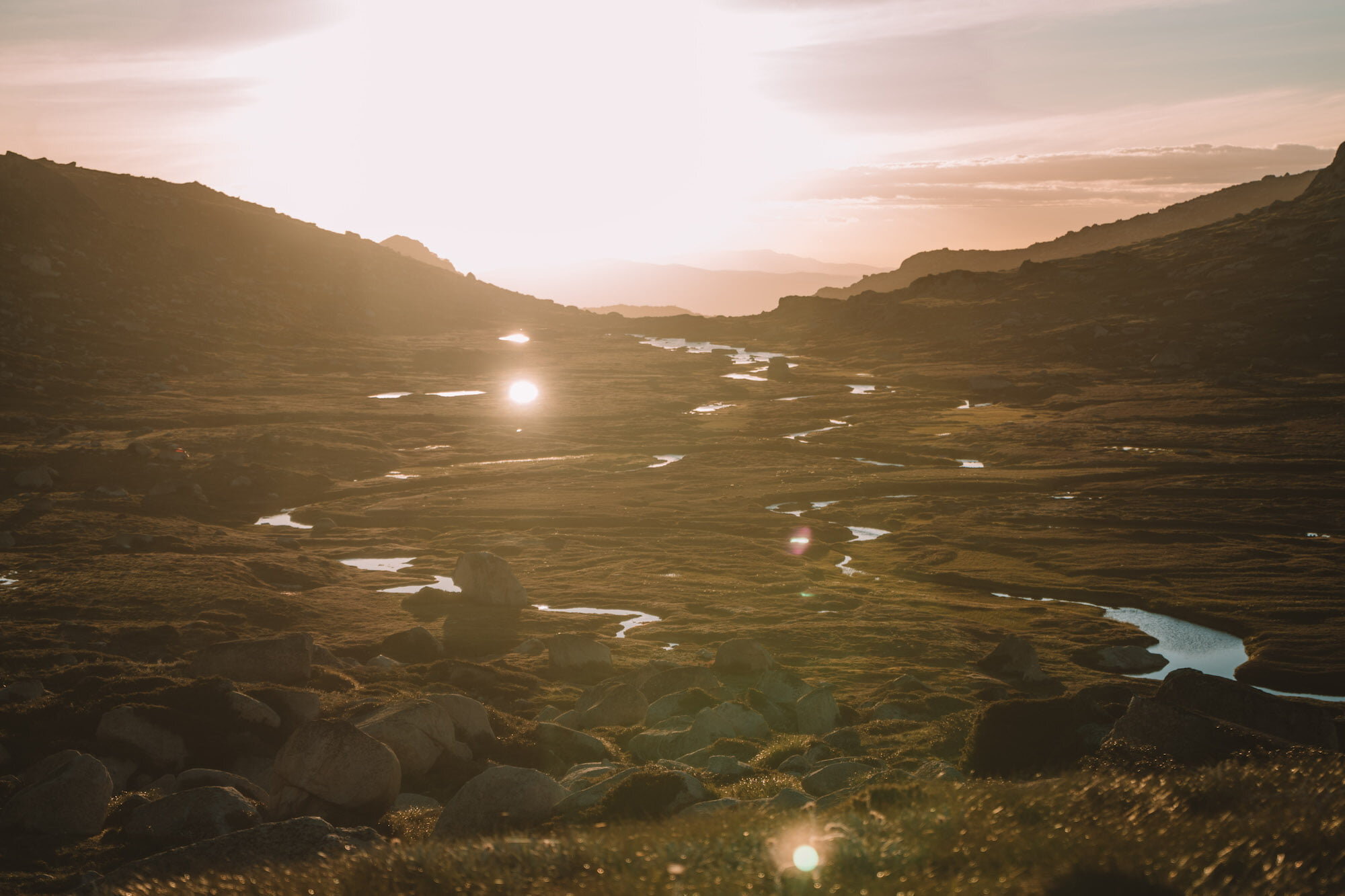

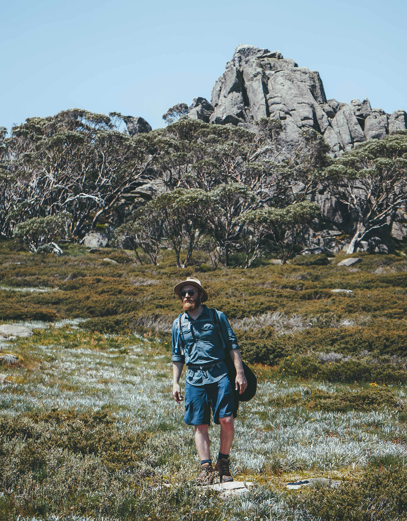
Photo credit: @ellielouhere for Macpac
Trip Notes: Thredbo to Mount Kosciuszko with a side trip to Wilkinsons Creek
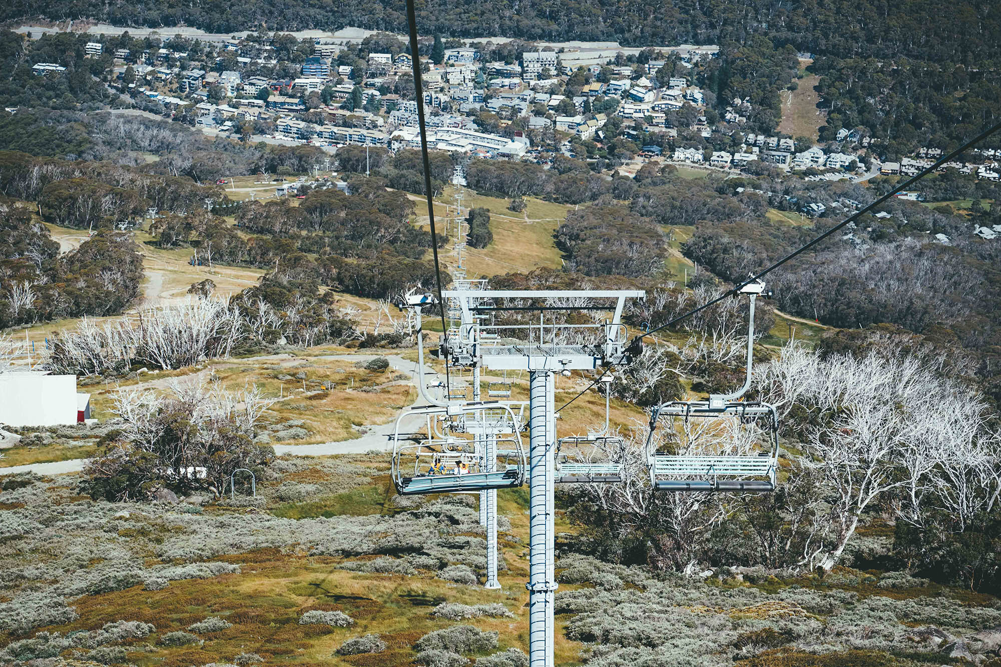
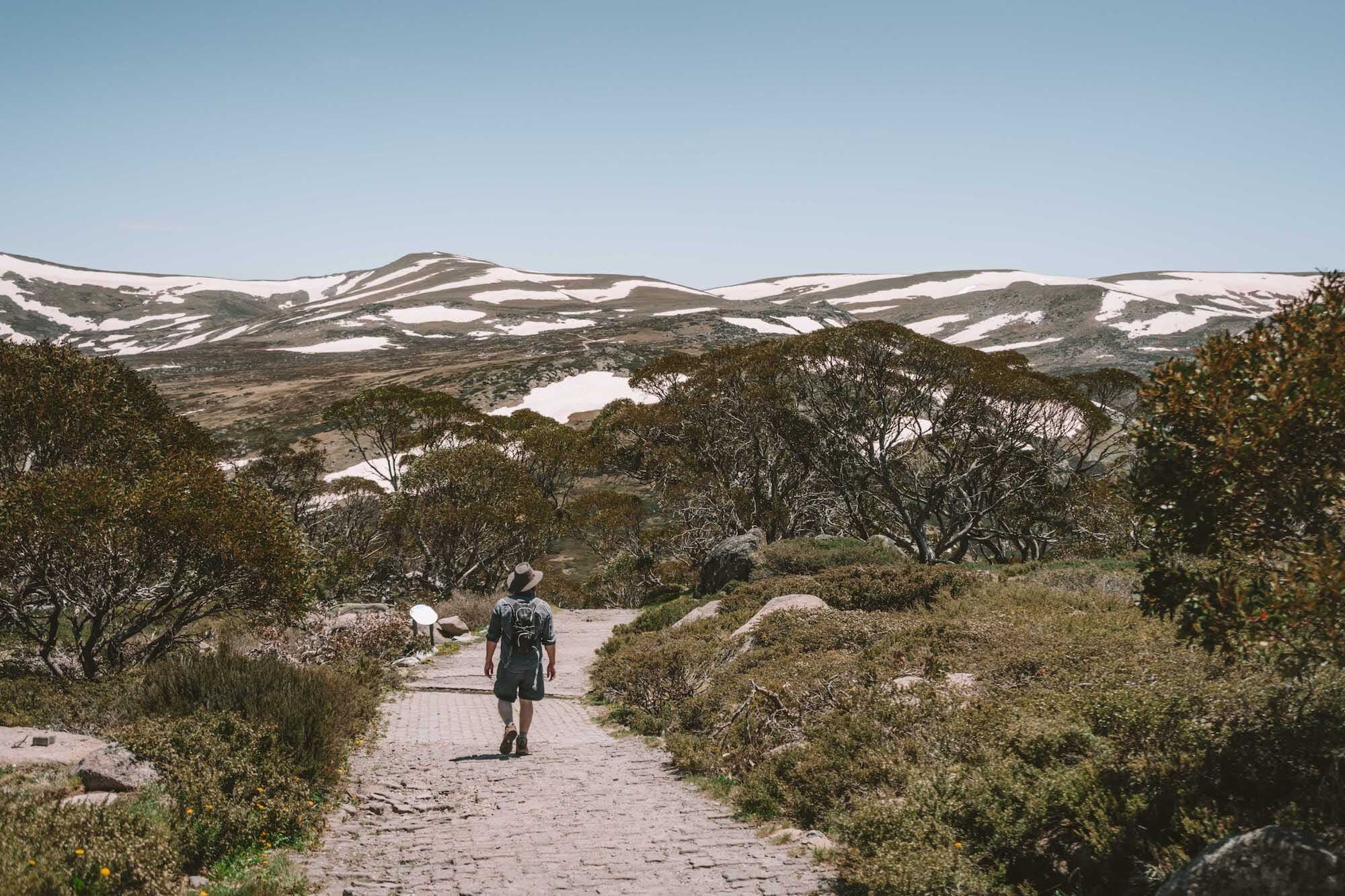
Kosciuszko Express Chairlift and Kosciuszko Walk to the highest point in Australia
This is one of those great hikes where it’s reasonable and acceptable to catch a ride for the first section, significantly reducing the effort needed to summit the highest mountain in the country.
Of course, you can walk the whole way up, but I ask you… are you mad?!
Jump on the Kosciuszko Express Chairlift just a few minutes walks from The Eastern. You’ll need to buy a lift pass before hitching a ride.
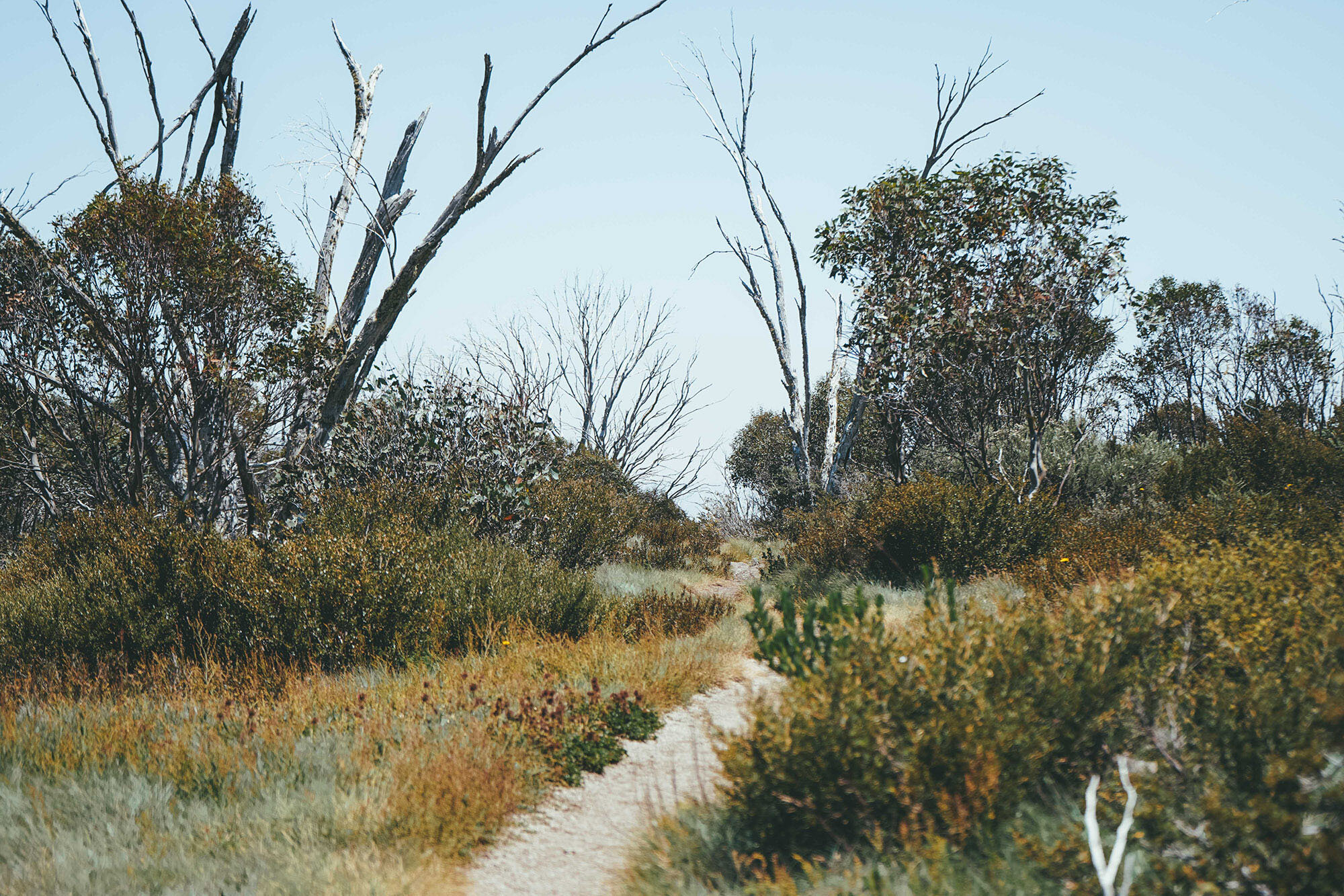
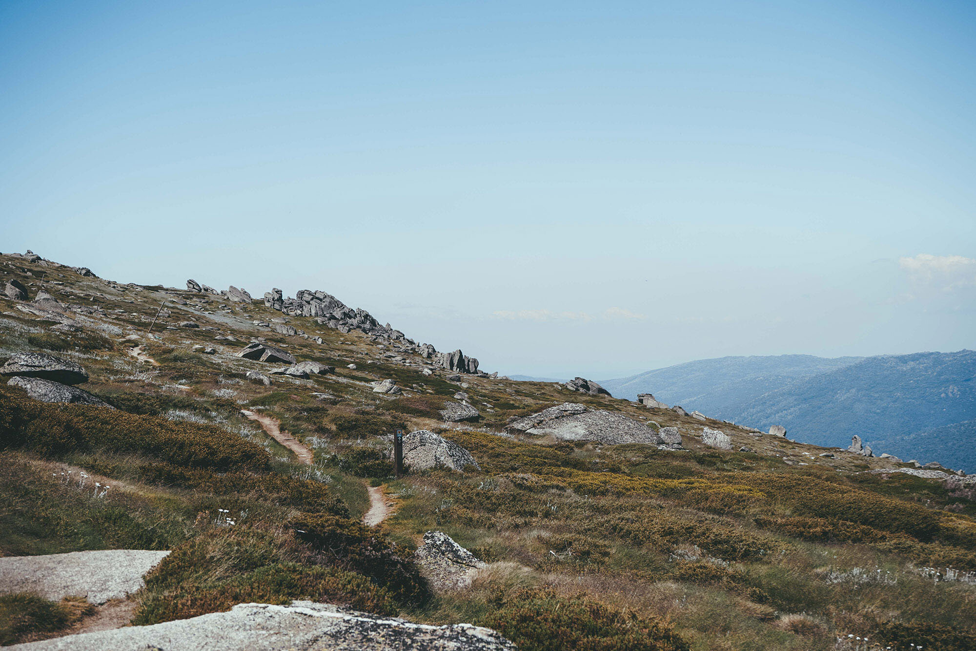
The track up to Kozi starts just behind Eagles Nest Restaurant—you can’t miss it!
Make sure you’ve got plenty of water at this point, as there’s nowhere else today to get water until you get to the creek.
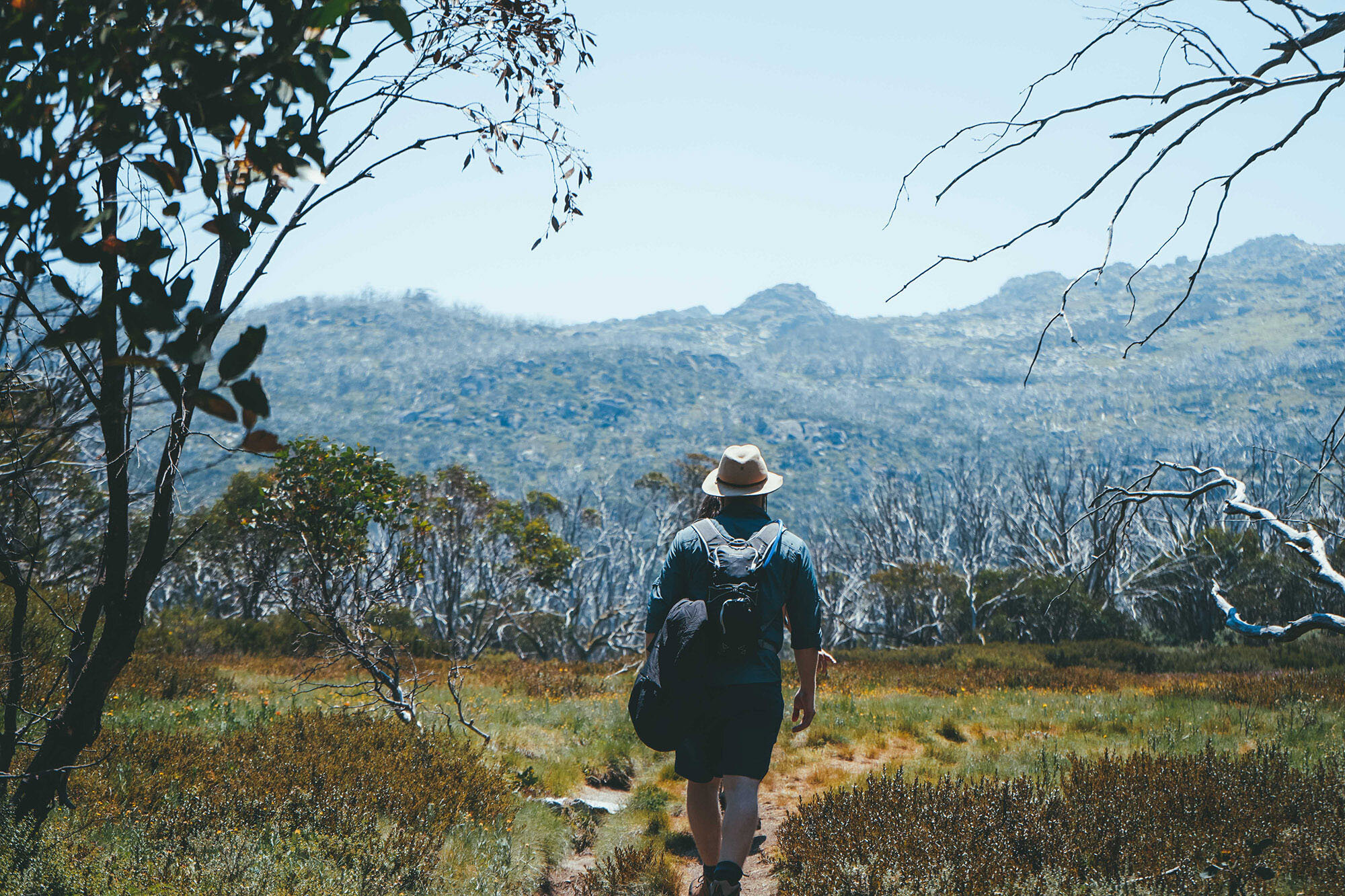
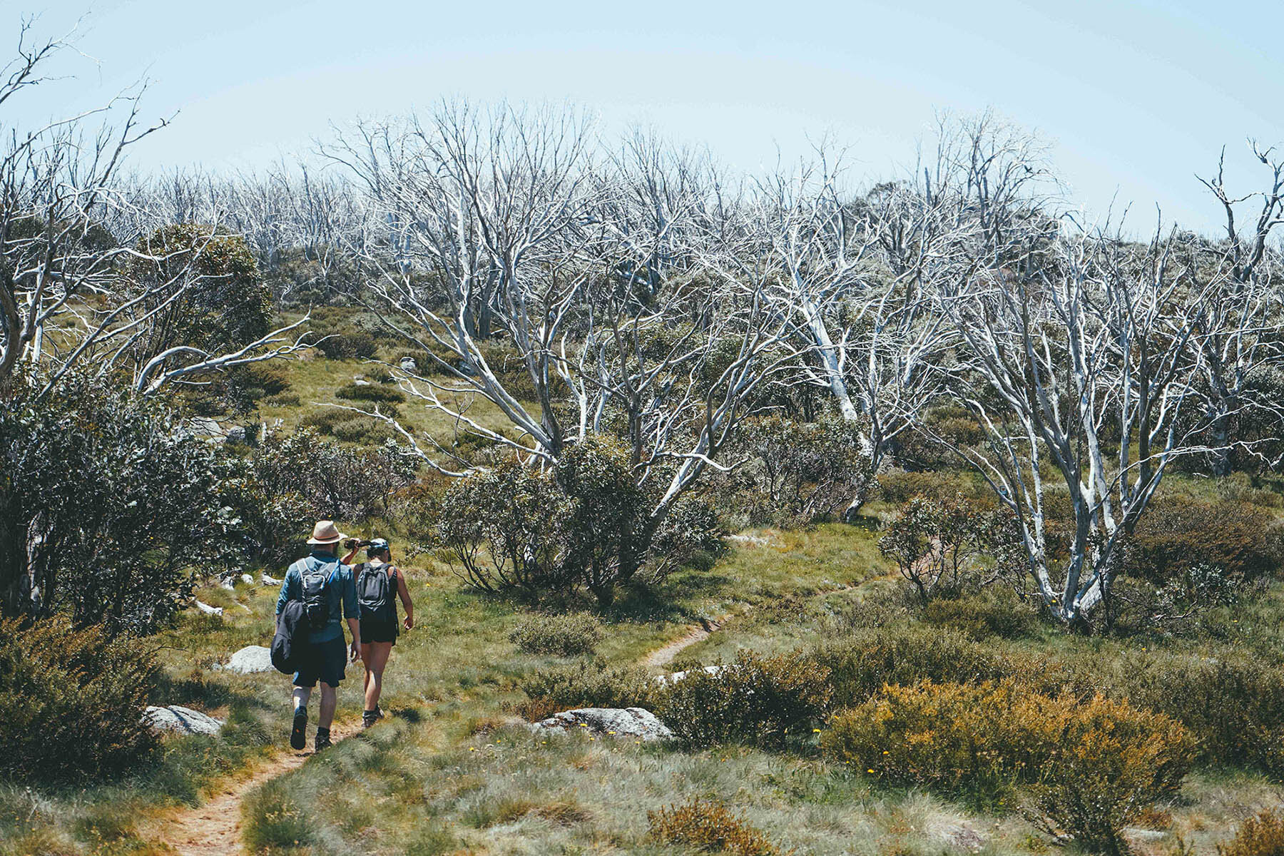
Towards Muellers Pass
After you’ve taken in the views from the top of Mount Kosciuszko (and perhaps snapped a few superman photos for Insta?), start making your way back down the way you came for approximately 1km.
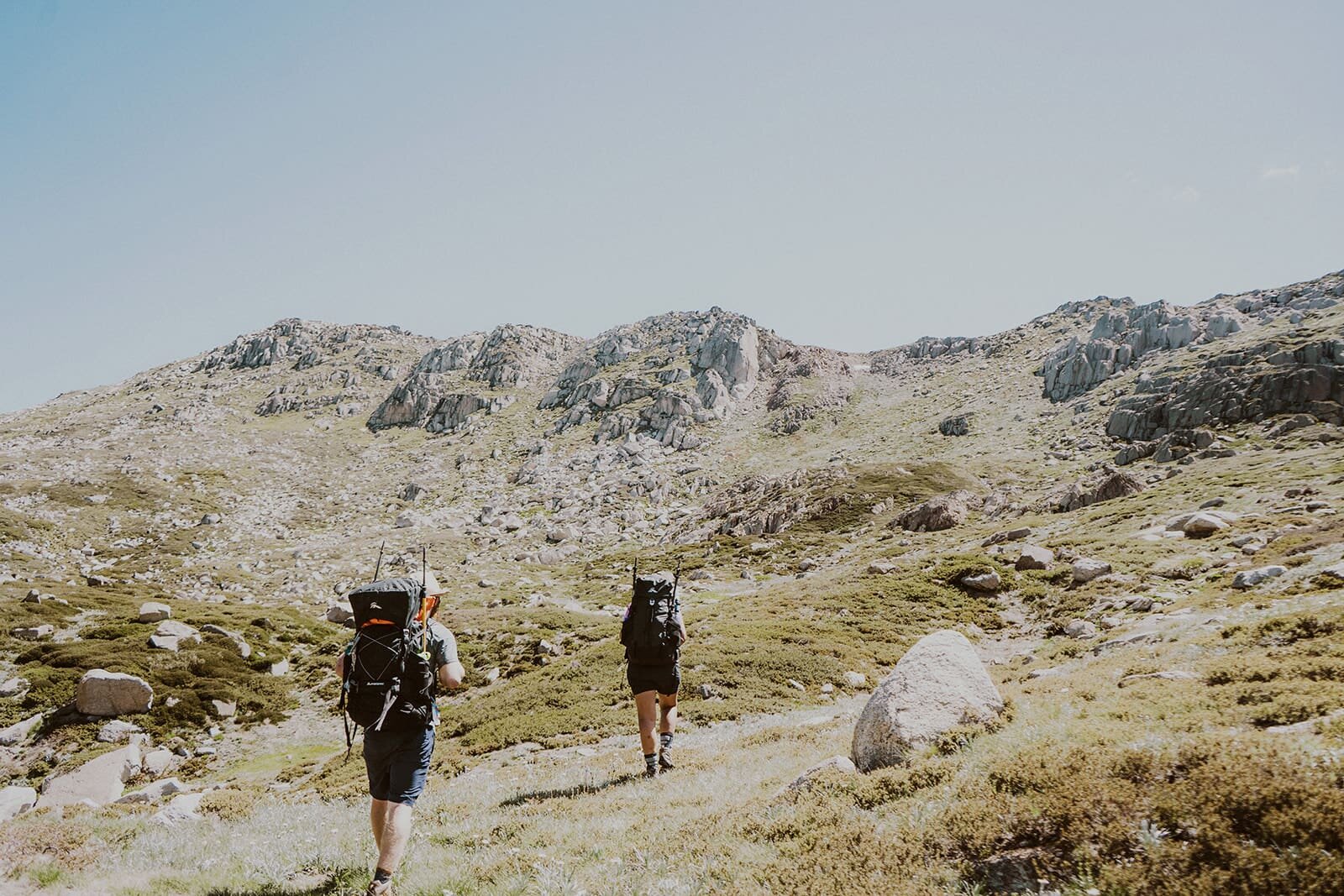
You’ll reach a junction. If you’re a bit tired, head straight back down the way you came, or if you’re up for a bit of an adventure (and some killer views!), turn left onto the Main Range Track, towards Muellers Pass.
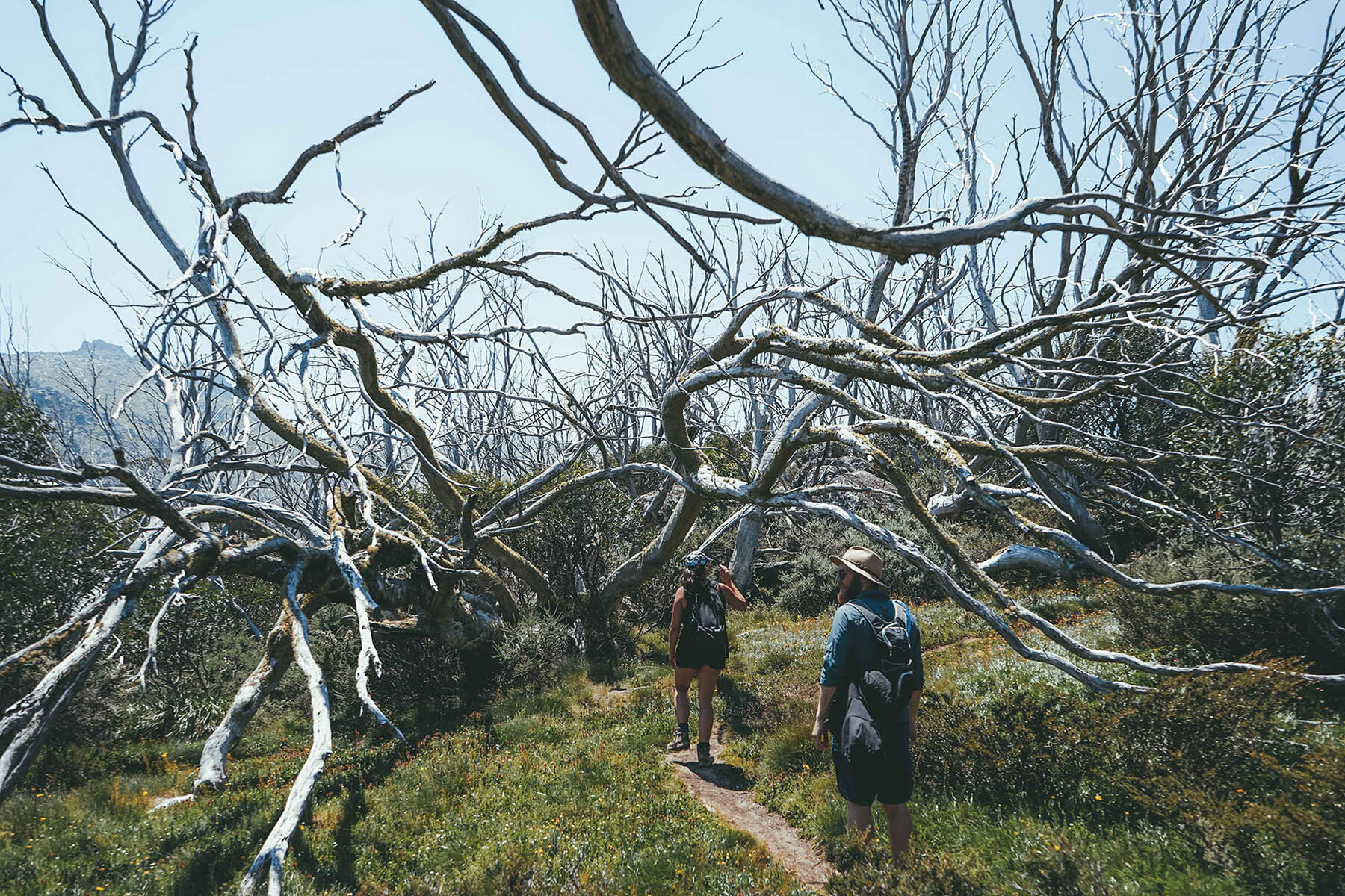
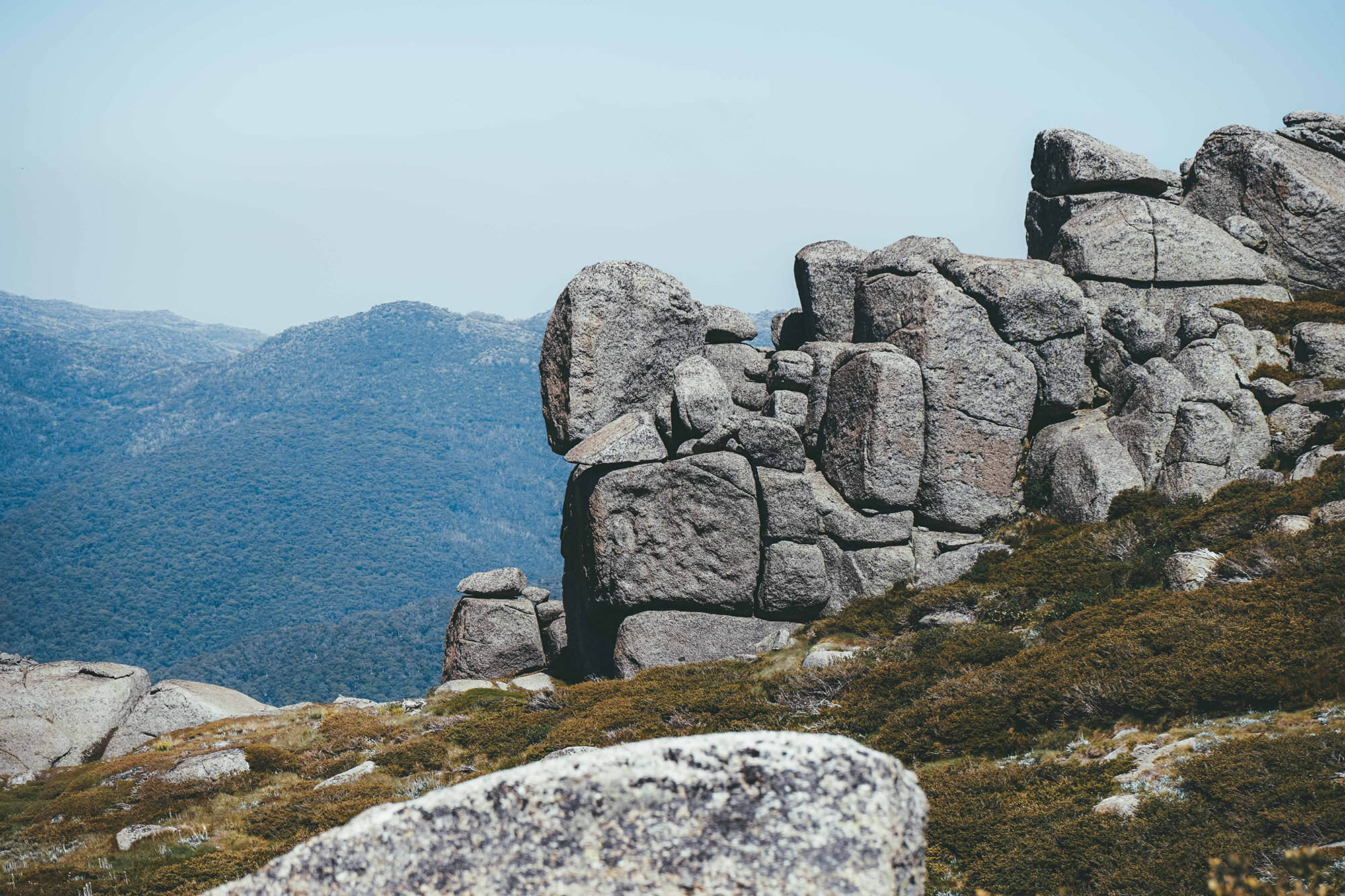
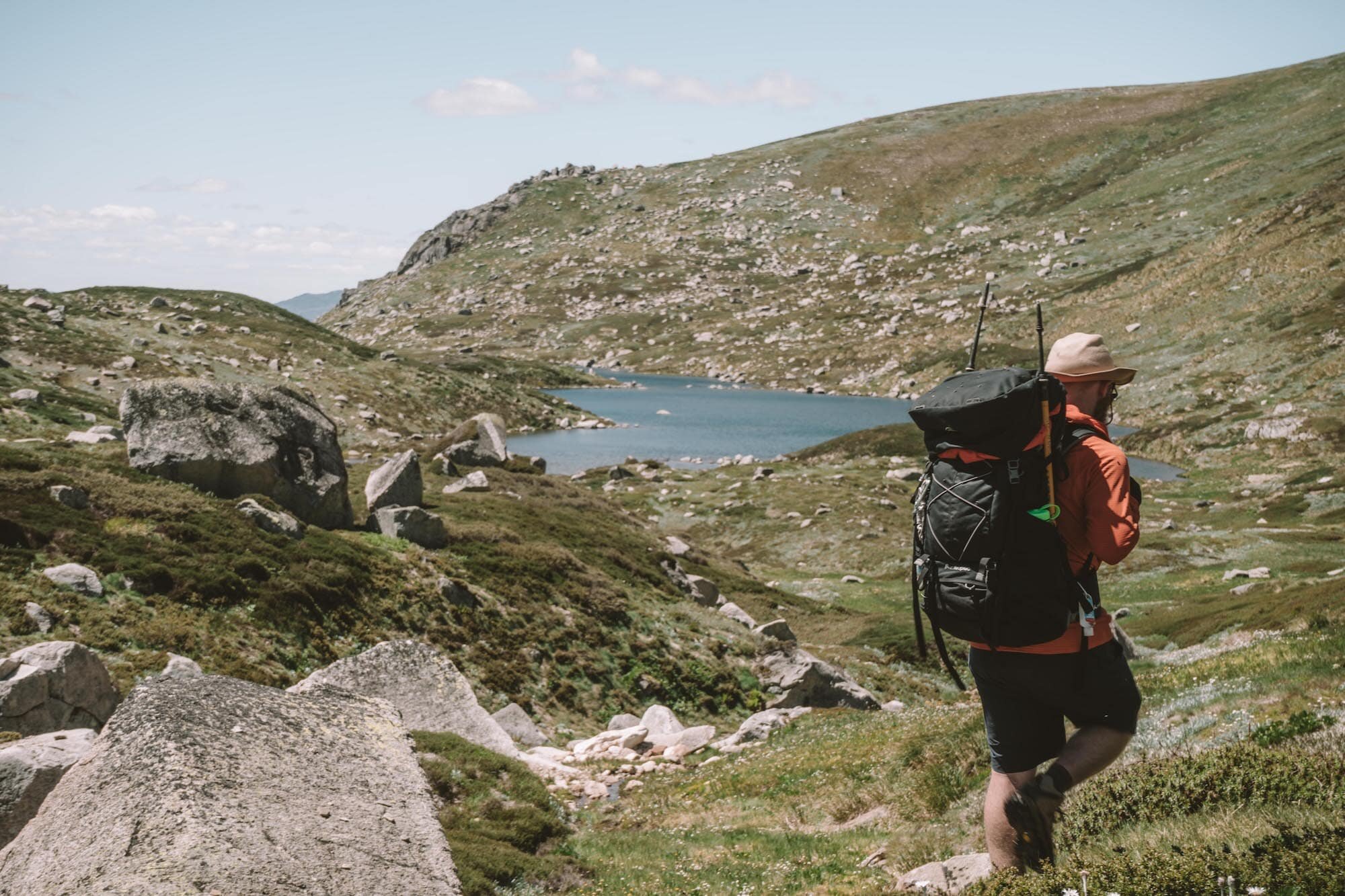
Off-track adventure to Wilkinsons Creek
Follow that path for about 1.5km—it’s an easy walk, but hold onto your hat if the wind is strong on the day you’ve chosen! This stretch a track is quite unprotected.
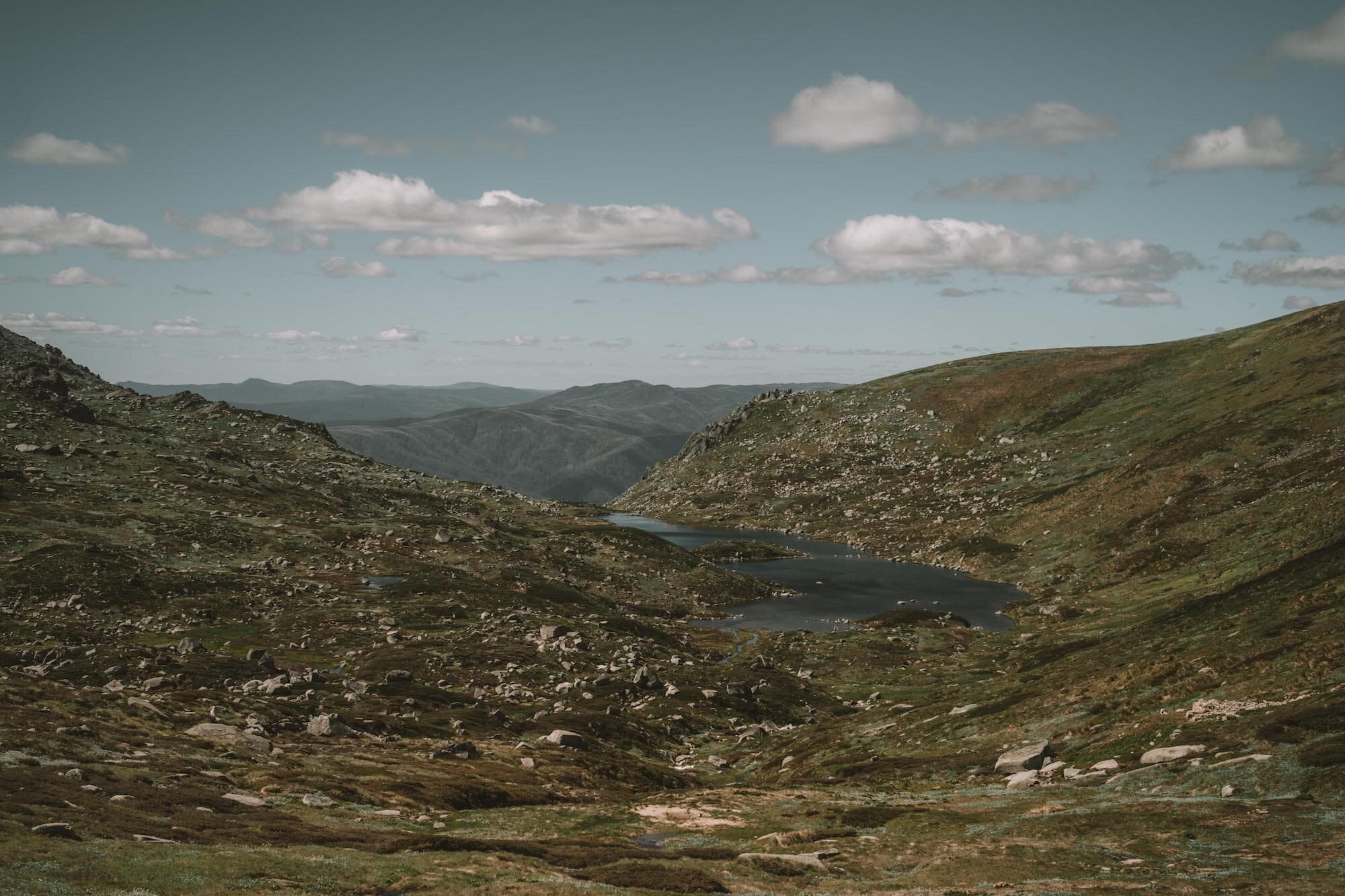
After you’ve been walking about 1.5km, you’ll see a big valley stretching out to your left.
TIP: Measuring approximate distances when hiking is a matter of counting your paces. One pace equals two steps, so every time your right foot hits the ground, that’s one pace. For most people, one pace is around 1.5m. So, if 1.5km is 1,500m, that’s about 1000 steps altogether.
If you want to be more accurate, measure your own pace distance, and use that to divide rather than the standard 1.5m, next time you’re out on the trail.
Venture off the track to your left, downhill for a couple of hundred metres. You might find a faint management trail to walk down, but if you don’t find it you’ll be fine to walk off-trail easily.
The lower you walk, you’ll start to see more and more of the sweeping valley view of Wilkinsons Creek spreading out like a multi-pronged serpent below you.
There are plenty of spots to set up for a picnic, and many big boulders that you should be able to find shade under if it’s a hot day.
Back to the top of Kosciuszko Express Chairlift
Once you’ve had your fill, head back up the way you came, connect up with the Main Range trail and turn right. Head back to the Kosciuszko Walk, and follow it all the way down to Eagles Nest Restaurant.
Stop for a beer if that’s your jam, or jump back on the chairlift to take you back down to the valley floor, where you can totter back to The Eastern for a well-deserved deep soak in the onsen bath.
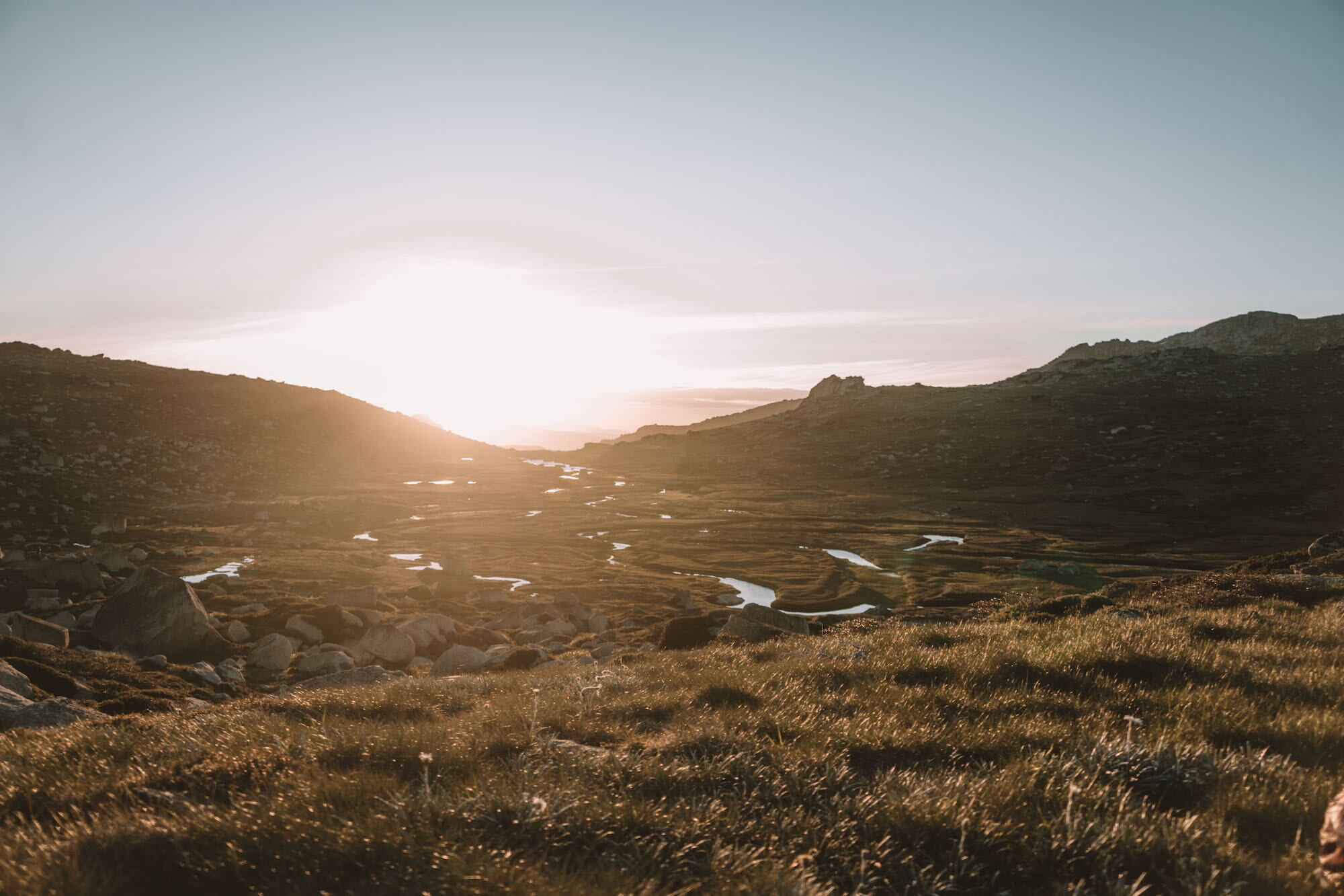
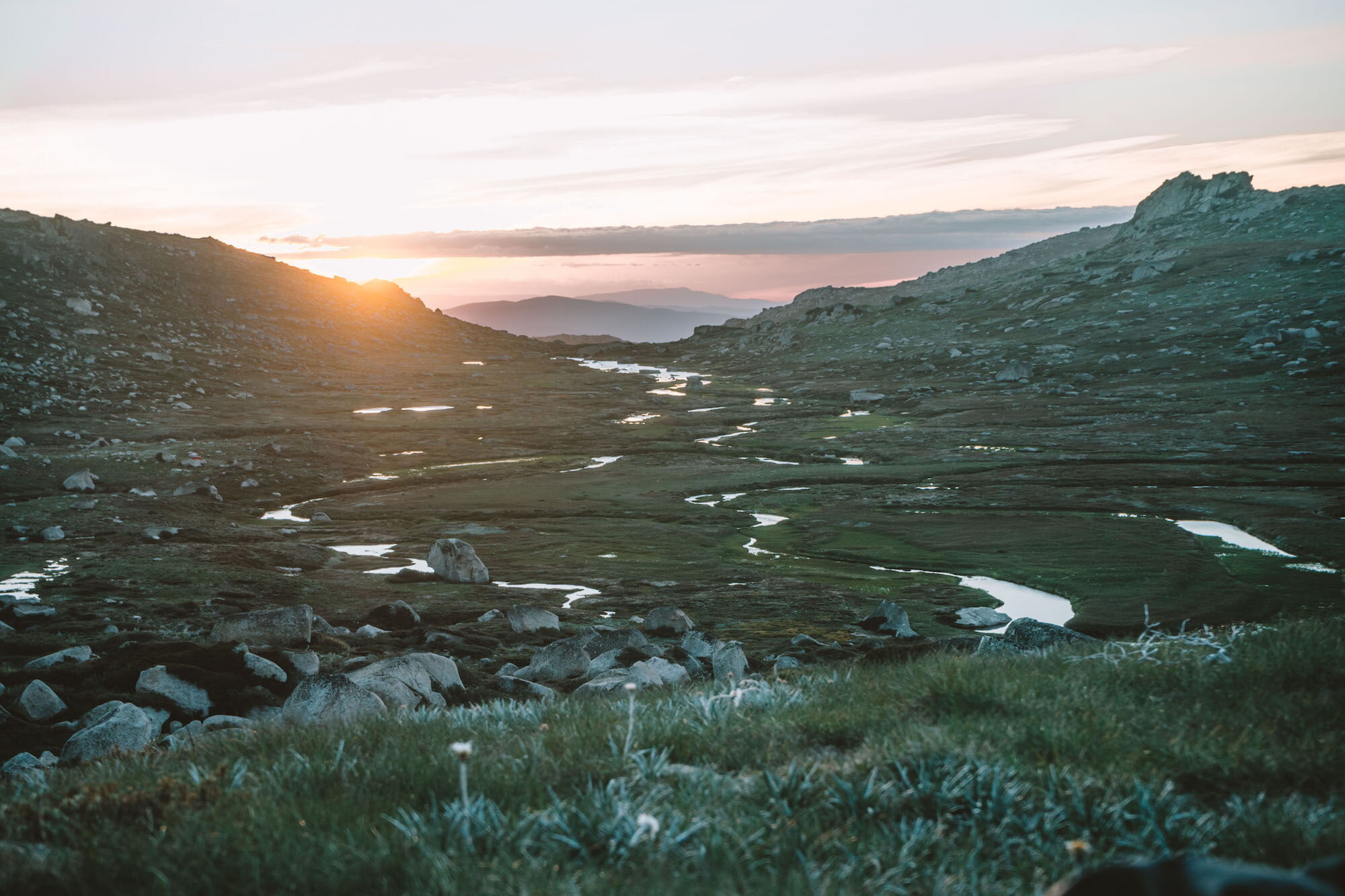
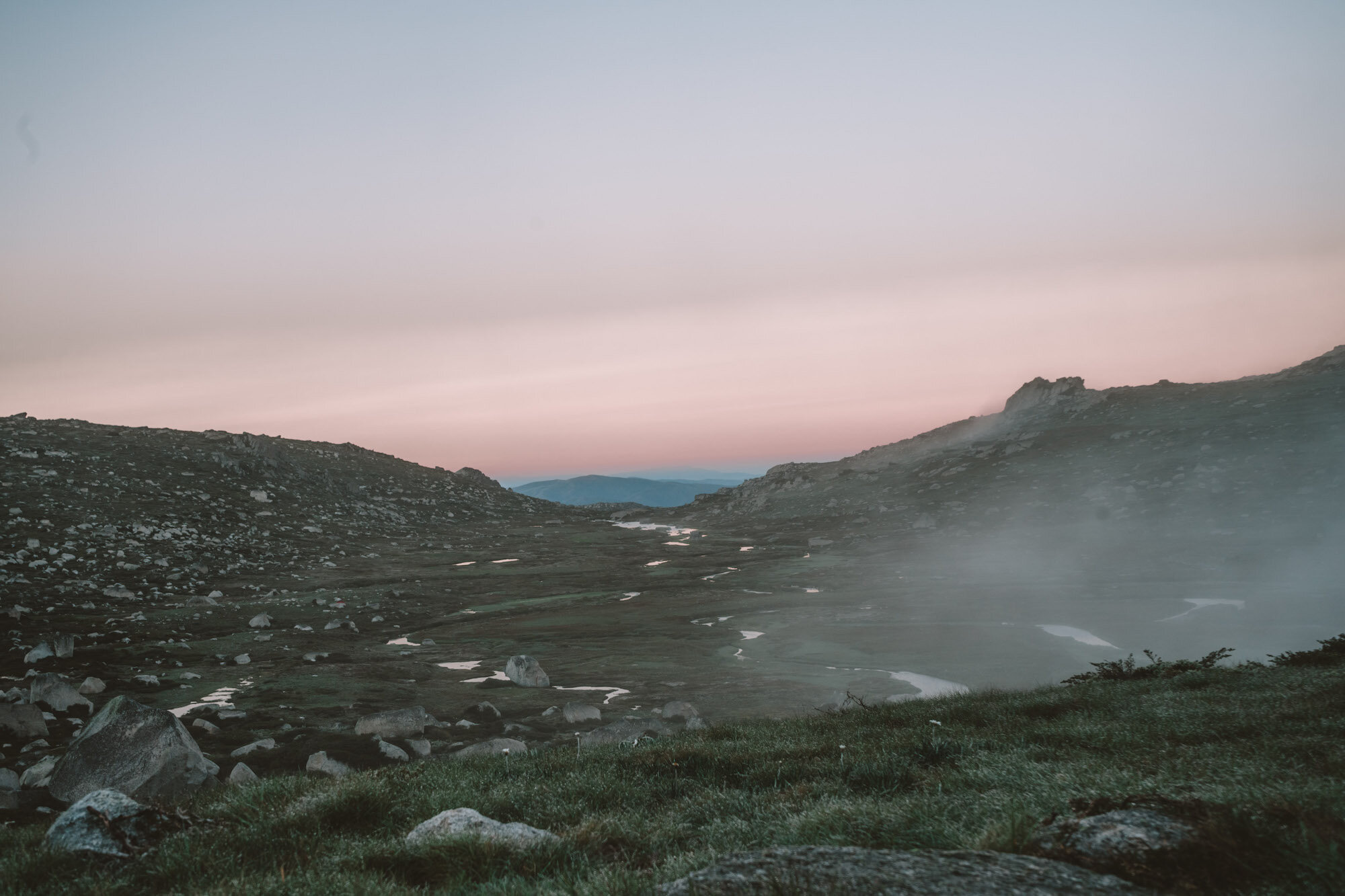
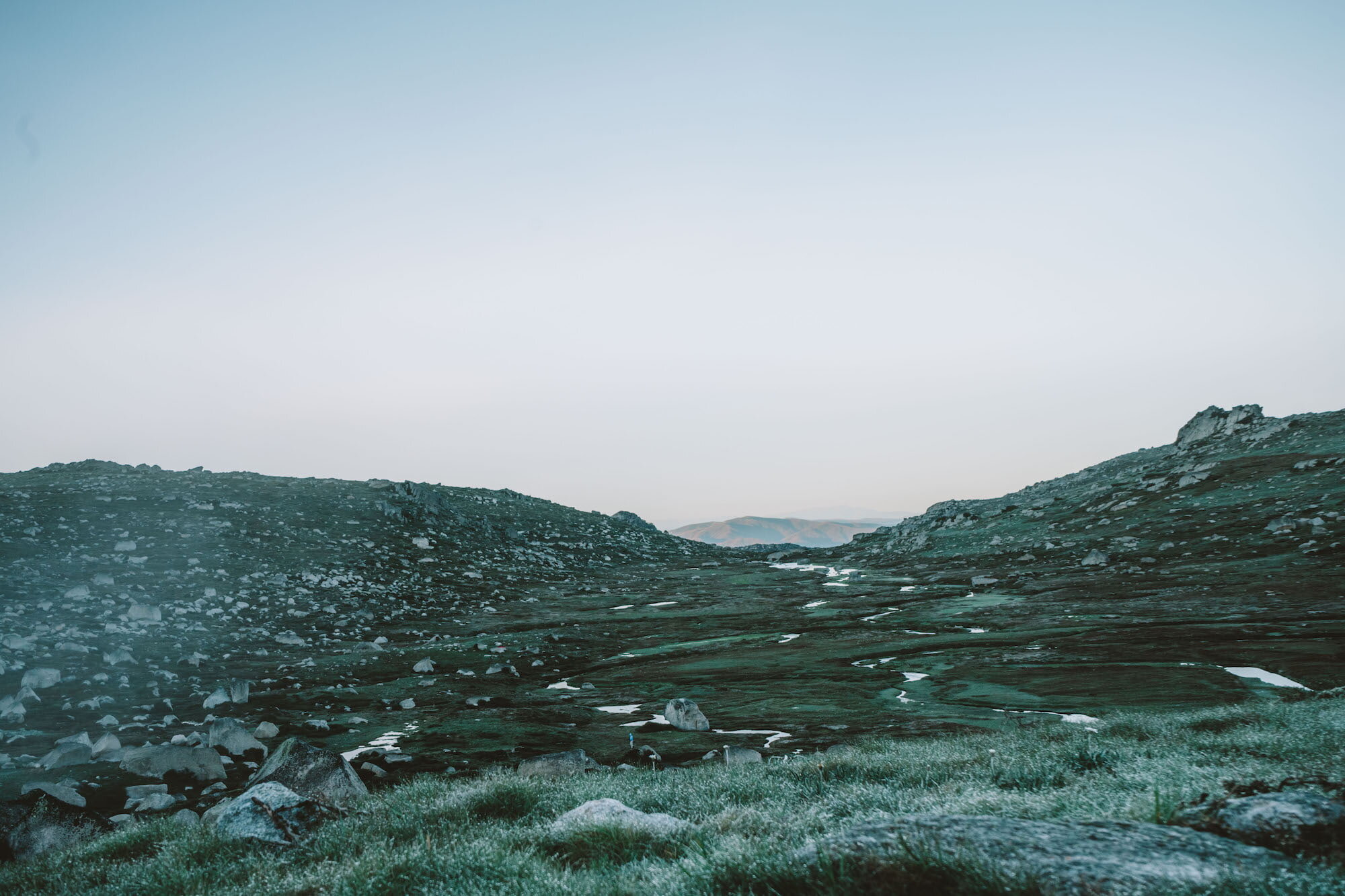
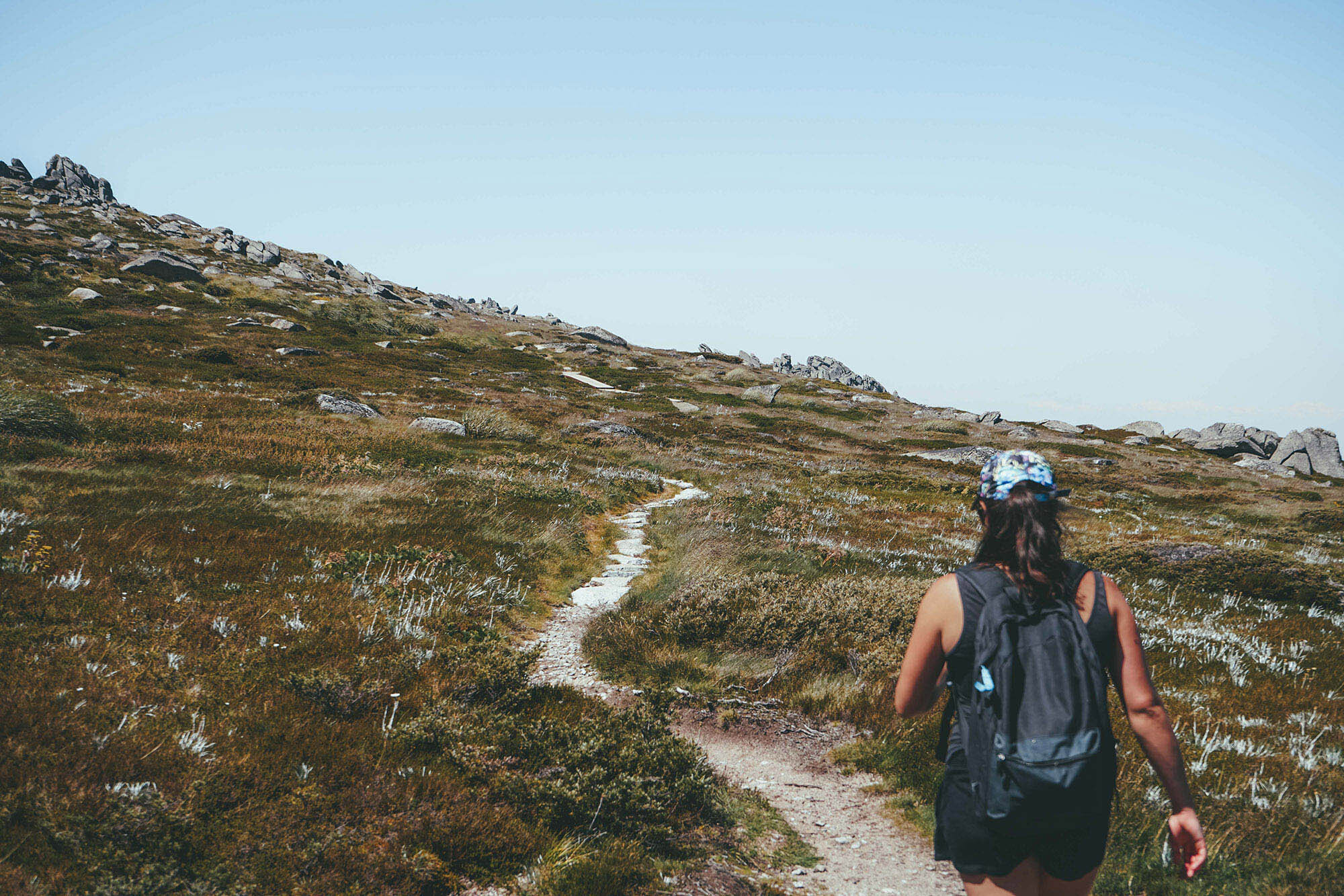
Photo credit: @ellielouhere for Macpac
Other Important Info
Route Options
If you’re not up for the side trail, just stick to summiting Kosciuszko… it’s the highest mountain in Australia, that ought to be enough!
Leave No Trace Trail Etiquette
Walking off-trail comes with some rules and responsibilities. Firstly, if you’re not walking on a padded path (and obviously worn path), make sure that you and your hiking companions don’t make your own new path. You can prevent making a new path by ‘fanning out’, that is, all choosing your own path rather than following one person. The grass you’re treading on will recover much more quickly this way.
Secondly, be careful around water sources. Don’t wash your food containers in them, don’t go to the toilet near them (stay at least 100m away), and make sure you know the rules for swimming in them before you take the plunge.
Thirdly, if you’ve brought a stove to cook your lunch or make a cuppa, make sure to find a rocky spot to light it, rather than directly on the grass. Campfires are also prohibited in the alpine backcountry, so in case that was part of your plan, hold off until you’re somewhere safer.
Fourthly, I feel like this one should be quite obvious, but I’ll mention it anyway—pack a rubbish bag and pack out all of your rubbish. This means banana and orange peels, toilet paper, nutshells, muesli bar wrappers, bandaids… everything.
Gear to Bring
Day hiking gear (shoes or sneakers, about 3L of water, substantial snacks or lunch, basic first aid kit, rain jacket, sun protection including hat, sunglasses, long sleeves and sunscreen, and a mobile phone with the Emergency+ app installed); plus some cash for a beer at Eagles Nest and to buy a lift ticket.
More Information from Trusted Sources
NSW National Parks and Wildlife Service notes for the Kosciuszko Walk